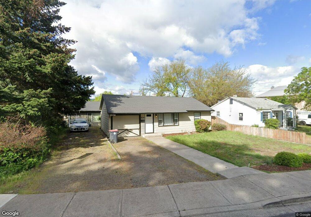
534 S 4th St Central Point, OR 97502
Estimated Value: $230,000 - $323,000
3
Beds
2
Baths
1,415
Sq Ft
$187/Sq Ft
Est. Value
About This Home
This home is located at 534 S 4th St, Central Point, OR 97502 and is currently estimated at $263,928, approximately $186 per square foot. 534 S 4th St is a home located in Jackson County with nearby schools including Central Point Elementary School, Scenic Middle School, and Crater High School.
Ownership History
Date
Name
Owned For
Owner Type
Purchase Details
Closed on
Jun 24, 2005
Sold by
Major Stephen R and Major Diane L
Bought by
Major Diane L and Major Stephen Richard
Current Estimated Value
Purchase Details
Closed on
Apr 2, 2001
Sold by
Patterson Dennis M and Patterson Francie L
Bought by
Major Stephen R and Major Diane L
Home Financials for this Owner
Home Financials are based on the most recent Mortgage that was taken out on this home.
Original Mortgage
$95,000
Interest Rate
7.06%
Mortgage Type
Seller Take Back
Create a Home Valuation Report for This Property
The Home Valuation Report is an in-depth analysis detailing your home's value as well as a comparison with similar homes in the area
Purchase History
| Date | Buyer | Sale Price | Title Company |
|---|---|---|---|
| Major Diane L | -- | Lawyers Title Ins | |
| Major Stephen R | $100,000 | Lawyers Title Insurance Corp |
Source: Public Records
Mortgage History
| Date | Status | Borrower | Loan Amount |
|---|---|---|---|
| Closed | Major Stephen R | $95,000 |
Source: Public Records
Tax History
| Year | Tax Paid | Tax Assessment Tax Assessment Total Assessment is a certain percentage of the fair market value that is determined by local assessors to be the total taxable value of land and additions on the property. | Land | Improvement |
|---|---|---|---|---|
| 2026 | $2,339 | $141,340 | -- | -- |
| 2025 | $2,282 | $137,230 | $90,930 | $46,300 |
| 2024 | $2,282 | $133,240 | $88,290 | $44,950 |
| 2023 | $2,208 | $129,360 | $85,720 | $43,640 |
| 2022 | $2,157 | $129,360 | $85,720 | $43,640 |
| 2021 | $2,095 | $125,600 | $83,230 | $42,370 |
| 2020 | $2,034 | $121,950 | $80,810 | $41,140 |
| 2019 | $1,984 | $114,960 | $76,180 | $38,780 |
| 2018 | $1,924 | $111,620 | $73,970 | $37,650 |
| 2017 | $1,875 | $111,620 | $73,970 | $37,650 |
| 2016 | $1,821 | $105,220 | $69,740 | $35,480 |
| 2015 | $1,745 | $105,220 | $69,740 | $35,480 |
| 2014 | $1,700 | $99,190 | $65,750 | $33,440 |
Source: Public Records
Map
Nearby Homes
- 114 Cedar St
- 755 S 4th St
- 220 S 3rd St
- 350 Alder St
- 555 Freeman Rd Unit 73
- 555 Freeman Rd Unit 254
- 555 Freeman Rd Unit 105
- 555 Freeman Rd Unit 209
- 436 Cheney Loop
- 1189 Lindsey Ct
- 736 Hemlock Ave
- 185 Logan Ave
- 301 Freeman Rd Unit 30
- 301 Freeman Rd Unit 92
- 301 Freeman Rd Unit 91
- 887 Silver Fox Dr
- 3364 Bursell Rd
- 1630 Timothy St
- 827 Isherwood Dr
- 144 N 5th St
Your Personal Tour Guide
Ask me questions while you tour the home.