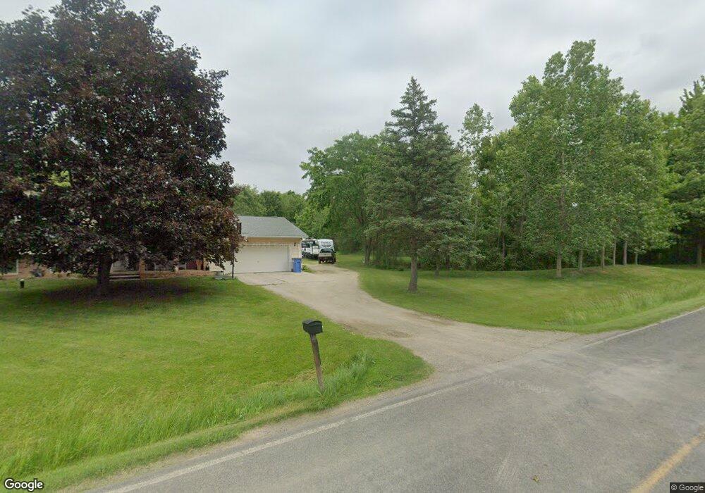
534 W Dewey Rd Owosso, MI 48867
Estimated Value: $190,000 - $274,000
4
Beds
2
Baths
1,912
Sq Ft
$124/Sq Ft
Est. Value
About This Home
This home is located at 534 W Dewey Rd, Owosso, MI 48867 and is currently estimated at $236,944, approximately $123 per square foot. 534 W Dewey Rd is a home located in Shiawassee County with nearby schools including Owosso High School, Salem Lutheran School, and Owosso Christian School.
Ownership History
Date
Name
Owned For
Owner Type
Purchase Details
Closed on
Oct 16, 2003
Sold by
Ash Arthur K and Ash Patricia J
Bought by
Sergent Jonathan E and Sergent Tamera J
Current Estimated Value
Home Financials for this Owner
Home Financials are based on the most recent Mortgage that was taken out on this home.
Original Mortgage
$159,000
Outstanding Balance
$72,157
Interest Rate
5.81%
Mortgage Type
Purchase Money Mortgage
Estimated Equity
$164,787
Purchase Details
Closed on
Jan 31, 2003
Sold by
Ash Arthur K
Bought by
Ash Arthur K and Ash Patricia J
Create a Home Valuation Report for This Property
The Home Valuation Report is an in-depth analysis detailing your home's value as well as a comparison with similar homes in the area
Home Values in the Area
Average Home Value in this Area
Purchase History
| Date | Buyer | Sale Price | Title Company |
|---|---|---|---|
| Sergent Jonathan E | $178,000 | Chicago Title | |
| Ash Arthur K | -- | -- |
Source: Public Records
Mortgage History
| Date | Status | Borrower | Loan Amount |
|---|---|---|---|
| Open | Sergent Jonathan E | $159,000 |
Source: Public Records
Tax History Compared to Growth
Tax History
| Year | Tax Paid | Tax Assessment Tax Assessment Total Assessment is a certain percentage of the fair market value that is determined by local assessors to be the total taxable value of land and additions on the property. | Land | Improvement |
|---|---|---|---|---|
| 2025 | $2,403 | $131,700 | $0 | $0 |
| 2024 | $2,449 | $127,600 | $0 | $0 |
| 2023 | $895 | $120,100 | $0 | $0 |
| 2022 | $853 | $109,400 | $0 | $0 |
| 2021 | $2,151 | $92,300 | $0 | $0 |
| 2020 | $2,147 | $85,000 | $0 | $0 |
| 2019 | $2,108 | $78,800 | $0 | $0 |
| 2018 | $2,129 | $77,600 | $0 | $0 |
| 2017 | $1,723 | $74,300 | $0 | $0 |
| 2016 | -- | $74,300 | $0 | $0 |
| 2015 | -- | $69,900 | $0 | $0 |
| 2014 | $8 | $64,900 | $0 | $0 |
Source: Public Records
Map
Nearby Homes
- 1627 Michigan 52
- 2419 S Morrice Rd
- 1560 S M 52
- 2560 S Morrice Rd
- 1434 S Pearce St
- 539 W Wildwood Dr
- 1510 S Chipman St
- V/L W South St
- 1610 W South St
- 1300 S Pearce St
- 1046 S Pearce St
- 942 Division St
- 810 Grace St
- 827 Lingle Ave
- 809 Grand Ave
- 755 Woodlawn Ave
- 702 Glenwood Ave
- 715 Glenwood Ave
- 209 W Stewart St
- 808 Division St