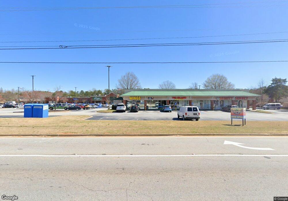
5340 Highway 20 S Unit 1 Covington, GA 30016
Estimated Value: $22,329,282
Studio
--
Bath
81,730
Sq Ft
$273/Sq Ft
Est. Value
About This Home
This home is located at 5340 Highway 20 S Unit 1, Covington, GA 30016 and is currently estimated at $22,329,282, approximately $273 per square foot. 5340 Highway 20 S Unit 1 is a home located in Newton County with nearby schools including Oak Hill Elementary School, Veterans Memorial Middle School, and Alcovy High School.
Ownership History
Date
Name
Owned For
Owner Type
Purchase Details
Closed on
Dec 29, 2004
Sold by
Ffi American Market Fnd
Bought by
Inland Western Covington Newton
Current Estimated Value
Create a Home Valuation Report for This Property
The Home Valuation Report is an in-depth analysis detailing your home's value as well as a comparison with similar homes in the area
Home Values in the Area
Average Home Value in this Area
Purchase History
| Date | Buyer | Sale Price | Title Company |
|---|---|---|---|
| Inland Western Covington Newton | $10,072,200 | -- |
Source: Public Records
Tax History
| Year | Tax Paid | Tax Assessment Tax Assessment Total Assessment is a certain percentage of the fair market value that is determined by local assessors to be the total taxable value of land and additions on the property. | Land | Improvement |
|---|---|---|---|---|
| 2025 | $46,912 | $1,885,240 | $728,160 | $1,157,080 |
| 2024 | $45,596 | $1,800,000 | $569,330 | $1,230,670 |
| 2023 | $48,841 | $1,800,000 | $692,021 | $1,107,979 |
| 2022 | $48,841 | $1,800,000 | $616,200 | $1,183,800 |
| 2021 | $64,572 | $2,129,320 | $728,160 | $1,401,160 |
| 2020 | $71,537 | $2,129,320 | $728,160 | $1,401,160 |
| 2019 | $66,673 | $1,954,640 | $539,400 | $1,415,240 |
| 2018 | $67,109 | $1,954,640 | $539,400 | $1,415,240 |
| 2017 | $61,147 | $1,781,000 | $539,400 | $1,241,600 |
| 2016 | $61,147 | $1,781,000 | $539,400 | $1,241,600 |
| 2015 | $63,984 | $1,863,640 | $539,400 | $1,324,240 |
| 2014 | $63,770 | $1,863,640 | $0 | $0 |
Source: Public Records
Map
Nearby Homes
- 14908 Brown Bridge Rd
- 170 Gibson Way
- 20 W Forest Dr
- 35 Fourwood Dr
- 5214 Parkside Dr SE
- 4770 Cedar Brook Dr SE
- 634 Knollwood Cir SE
- 4822 Navajo Trail SE
- 821 Greenwood Trail SE
- 835 Cochise Trail SE
- 954 Cochise Trail SE
- 801 Greenwood Trail SE
- 2215 Oak Hill Rd
- 4710 Cedar Brook Dr SE
- 5737 Highway 20 S
- 4938 Lake Forest Dr SE
- 4670 Cedar Brook Dr SE
- 4991 Lake Forest Dr SE
- 4753 Bell Cir SE
- 4651 Cedar Brook Dr SE
- 5274 Highway 20 S Unit 300
- 5274 Highway 20 S Unit 200
- 5274 Highway 20 S
- 14931 Brown Bridge Rd Unit 36
- 14931 Brown Bridge Rd
- na S Highway 20 Hwy S
- 14931 Brown Bridge Rd
- 14959 Brown Bridge Rd
- 14894 Brown Bridge Rd
- S Highway 20 S
- 15 Stone Creek Dr
- 10 Stone Creek Dr
- 25 Stone Creek Dr
- 20 Stone Creek Dr
- 30 Stone Creek Dr
- 35 Stone Creek Dr
- 5241 Highway 20 S
- 5241 Highway 20 S
- 5214 Highway 20 S
- 5361 Highway 20 S
Your Personal Tour Guide
Ask me questions while you tour the home.