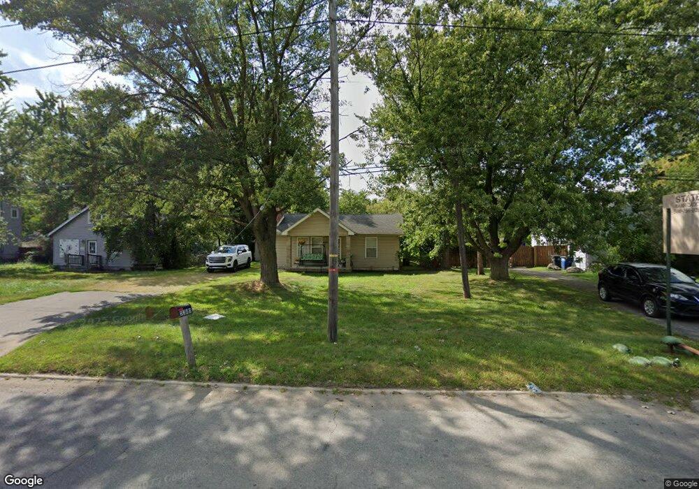
5340 S Inkster Rd Westland, MI 48186
Estimated Value: $143,000 - $217,000
--
Bed
1
Bath
1,216
Sq Ft
$141/Sq Ft
Est. Value
About This Home
This home is located at 5340 S Inkster Rd, Westland, MI 48186 and is currently estimated at $171,007, approximately $140 per square foot. 5340 S Inkster Rd is a home located in Wayne County with nearby schools including Taylor Parks Elementary School, Hoover Middle School, and Taylor High School.
Ownership History
Date
Name
Owned For
Owner Type
Purchase Details
Closed on
Oct 11, 2013
Sold by
Wayne County Treasurer
Bought by
Watts Tamara
Current Estimated Value
Purchase Details
Closed on
Sep 25, 2006
Sold by
Coroama Maria and Coroana Maria
Bought by
Grubbs Jeffrey A
Purchase Details
Closed on
Jun 12, 2003
Sold by
Greene Michael B and Greene Joseph J
Bought by
Coroana Maria
Purchase Details
Closed on
Feb 25, 1999
Sold by
Karapetian Terri
Bought by
Karapetian Terri
Purchase Details
Closed on
Dec 17, 1996
Sold by
Richard J Rodgers
Bought by
Michael B Greene
Create a Home Valuation Report for This Property
The Home Valuation Report is an in-depth analysis detailing your home's value as well as a comparison with similar homes in the area
Home Values in the Area
Average Home Value in this Area
Purchase History
| Date | Buyer | Sale Price | Title Company |
|---|---|---|---|
| Watts Tamara | $11,000 | None Available | |
| Grubbs Jeffrey A | $135,000 | Multiple | |
| Coroana Maria | $65,000 | Minnesota Title Agency | |
| Karapetian Terri | -- | -- | |
| Michael B Greene | $30,000 | -- |
Source: Public Records
Tax History Compared to Growth
Tax History
| Year | Tax Paid | Tax Assessment Tax Assessment Total Assessment is a certain percentage of the fair market value that is determined by local assessors to be the total taxable value of land and additions on the property. | Land | Improvement |
|---|---|---|---|---|
| 2025 | $1,011 | $72,400 | $0 | $0 |
| 2024 | $1,011 | $69,900 | $0 | $0 |
| 2023 | $1,039 | $56,500 | $0 | $0 |
| 2022 | $1,191 | $46,000 | $0 | $0 |
| 2021 | $1,120 | $38,300 | $0 | $0 |
| 2020 | $1,106 | $29,200 | $0 | $0 |
| 2019 | $1,061 | $25,000 | $0 | $0 |
| 2018 | $832 | $22,900 | $0 | $0 |
| 2017 | $414 | $22,700 | $0 | $0 |
| 2016 | $1,002 | $23,100 | $0 | $0 |
| 2015 | $2,249 | $22,490 | $0 | $0 |
| 2013 | $2,480 | $25,700 | $0 | $0 |
| 2012 | $1,924 | $25,890 | $0 | $0 |
Source: Public Records
Map
Nearby Homes
- 27523 Powers St
- 5526 Sylvia St
- POWERS Powers St
- 4133 Moore St
- 4863 Glenis St
- 27285 Colgate St
- 6221 Inkster Rd
- 26532 Powers Ave
- 4061 Wellington St
- 4054 Moore St
- 5970 John Daly St
- 27022 Colgate St
- 6018 Frederick St Unit 83
- 6002 Frederick St Unit 81
- 4120 Ash St
- 5993 John Daly St
- 26773 Colgate St
- 5926 Esther St
- 28654 N Maple St Unit 131
- 26458 Hopkins St
- 5350 S Inkster Rd
- 5328 S Inkster Rd
- 5484 S Inkster Rd
- 5322 S Inkster Rd
- 5310 S Inkster Rd
- 5500 S Inkster Rd
- 27425 Powers St
- 5530 S Inkster Rd
- 5327 S Inkster Rd
- 5345 S Inkster Rd
- 5132 S Inkster Rd
- 27474 Hanover Blvd
- 27511 Powers St
- 27530 Hanover Blvd
- 27452 Powers St
- 5124 S Inkster Rd
- 27338 Currier St
- 27466 Powers St
- 5316 Cummings St
- 27310 Currier St