Estimated Value: $304,000 - $550,000
3
Beds
2
Baths
1,728
Sq Ft
$220/Sq Ft
Est. Value
About This Home
This home is located at 5340 SW Twp Rd 372, Logan, OH 43138 and is currently estimated at $380,465, approximately $220 per square foot. 5340 SW Twp Rd 372 is a home located in Perry County with nearby schools including Bremen Elementary School and Fairfield Union High School.
Ownership History
Date
Name
Owned For
Owner Type
Purchase Details
Closed on
Mar 20, 2017
Sold by
Stoneman Mark B
Bought by
Peck John D and Peck Kristy A
Current Estimated Value
Home Financials for this Owner
Home Financials are based on the most recent Mortgage that was taken out on this home.
Original Mortgage
$135,000
Outstanding Balance
$111,949
Interest Rate
4.17%
Mortgage Type
VA
Estimated Equity
$268,516
Purchase Details
Closed on
Aug 30, 2012
Sold by
Ely Lois and Ely Lois Ellen
Bought by
Stoneman Mark B
Home Financials for this Owner
Home Financials are based on the most recent Mortgage that was taken out on this home.
Original Mortgage
$107,142
Interest Rate
3.56%
Mortgage Type
New Conventional
Create a Home Valuation Report for This Property
The Home Valuation Report is an in-depth analysis detailing your home's value as well as a comparison with similar homes in the area
Home Values in the Area
Average Home Value in this Area
Purchase History
| Date | Buyer | Sale Price | Title Company |
|---|---|---|---|
| Peck John D | $135,000 | Signature Title | |
| Stoneman Mark B | $105,000 | Valmer Land Title Agency |
Source: Public Records
Mortgage History
| Date | Status | Borrower | Loan Amount |
|---|---|---|---|
| Open | Peck John D | $135,000 | |
| Previous Owner | Stoneman Mark B | $107,142 |
Source: Public Records
Tax History Compared to Growth
Tax History
| Year | Tax Paid | Tax Assessment Tax Assessment Total Assessment is a certain percentage of the fair market value that is determined by local assessors to be the total taxable value of land and additions on the property. | Land | Improvement |
|---|---|---|---|---|
| 2024 | $2,480 | $68,440 | $8,670 | $59,770 |
| 2023 | $2,480 | $68,440 | $8,670 | $59,770 |
| 2022 | $2,089 | $51,930 | $6,460 | $45,470 |
| 2021 | $2,105 | $51,930 | $6,460 | $45,470 |
| 2020 | $2,104 | $51,930 | $6,460 | $45,470 |
| 2019 | $1,916 | $47,390 | $6,390 | $41,000 |
| 2018 | $1,923 | $47,390 | $6,390 | $41,000 |
| 2017 | $1,729 | $47,390 | $6,390 | $41,000 |
| 2016 | $1,645 | $41,640 | $5,780 | $35,860 |
| 2015 | $1,641 | $41,640 | $5,780 | $35,860 |
| 2014 | $1,546 | $41,640 | $5,780 | $35,860 |
| 2013 | $1,568 | $41,640 | $5,780 | $35,860 |
| 2012 | -- | $41,640 | $5,780 | $35,860 |
Source: Public Records
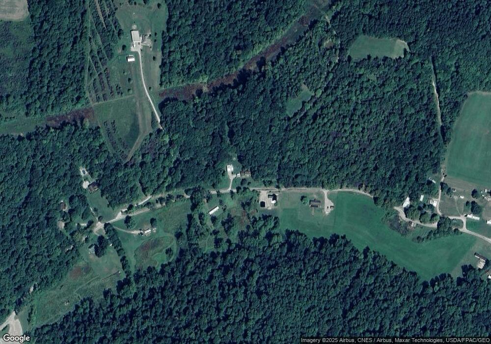
Map
Nearby Homes
- 4181 Van Horn Rd SW
- 5400 Saunders Rd
- 5840 Township Road 248
- 0 Bethel Rd SE Unit 225039271
- 2910 Township Road 185 SW
- 0 Schmeltzer Rd
- 0 Ohio 668
- 3385 Marietta Rd SW
- 3675 County Rd 11
- 4658 State Route 668 S
- 5618 Ohio 664
- 8931 Sacred Heart Rd SE
- 314 Chinook Ln
- 8215 Pleasantview Rd SE
- 9168 Bremen Rd
- 8050 Marietta Rd SE
- 849 Papago Ln
- 298 Tillamook Ln
- 3075 E County Road 57 Rd E
- 204 N Mulberry St
- 5340 Township Road 372
- 5265 Township Road 372
- 5410 Township Road 372
- 5454 Township Road 372
- 5464 Township Road 372
- 5060 Township Road 372
- 5530 Township Road 372
- 5430 Township Road 372
- 5005 Township Road 372
- 5340 Township Road 372
- 4976 Township Road 372
- 5094 Township Road 372
- 4971 Township Road 372
- 5497 Township Road 372
- 4880 Township Road 372
- 0 St Rt 312 Unit 9916468
- 4838 State Route 312 SW
- 4920 State Route 312 SW
- 4818 Township Road 372
- 5306 State Route 312