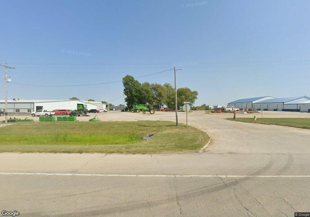
5340 Us Highway 45 Mattoon, IL 61938
Estimated Value: $32,000 - $233,000
4
Beds
1
Bath
2,064
Sq Ft
$59/Sq Ft
Est. Value
About This Home
This home is located at 5340 Us Highway 45, Mattoon, IL 61938 and is currently estimated at $121,333, approximately $58 per square foot. 5340 Us Highway 45 is a home located in Coles County with nearby schools including Mattoon High School and St Mary School.
Ownership History
Date
Name
Owned For
Owner Type
Purchase Details
Closed on
Oct 30, 2024
Sold by
Dwight W Schilling Revocable Trust and Mary K Schilling Revocable Trust
Bought by
Sloan Implement Company Inc
Current Estimated Value
Purchase Details
Closed on
Apr 19, 2016
Sold by
Schilling Dwight W and Schilling Mary K
Bought by
Schilling Trust
Purchase Details
Closed on
Apr 11, 2014
Sold by
Schilling Michael D
Bought by
Schilling Dwight W and Schilling Mark K
Create a Home Valuation Report for This Property
The Home Valuation Report is an in-depth analysis detailing your home's value as well as a comparison with similar homes in the area
Home Values in the Area
Average Home Value in this Area
Purchase History
| Date | Buyer | Sale Price | Title Company |
|---|---|---|---|
| Sloan Implement Company Inc | $30,000 | None Listed On Document | |
| Sloan Implement Company Inc | $10,000 | None Listed On Document | |
| Schilling Trust | -- | -- | |
| Schilling Dwight W | -- | -- |
Source: Public Records
Tax History Compared to Growth
Tax History
| Year | Tax Paid | Tax Assessment Tax Assessment Total Assessment is a certain percentage of the fair market value that is determined by local assessors to be the total taxable value of land and additions on the property. | Land | Improvement |
|---|---|---|---|---|
| 2024 | $1,928 | $35,649 | $3,468 | $32,181 |
| 2023 | $1,757 | $31,829 | $3,096 | $28,733 |
| 2022 | $1,708 | $31,303 | $3,045 | $28,258 |
| 2021 | $1,708 | $28,753 | $2,797 | $25,956 |
| 2020 | $1,698 | $29,791 | $2,898 | $26,893 |
| 2019 | $1,652 | $28,753 | $2,797 | $25,956 |
| 2018 | $1,632 | $28,753 | $2,797 | $25,956 |
| 2017 | $1,633 | $28,753 | $2,797 | $25,956 |
| 2016 | $1,608 | $28,753 | $2,797 | $25,956 |
| 2015 | $1,599 | $28,753 | $2,797 | $25,956 |
| 2014 | $1,599 | $28,753 | $2,797 | $25,956 |
| 2013 | $1,599 | $28,753 | $2,797 | $25,956 |
Source: Public Records
Map
Nearby Homes
- 1105 Stinson Ave
- 1604 S 9th St
- 1612 Westgate Ln
- 1208 S 12th St
- 1821 Dakota Ave
- 1404 S 6th St
- 1017 S 14th St
- 1005 Lake Land Blvd
- 1009 S 14th St
- LOT 37 Broadmoor Edgewater
- 900 S 14th St
- 309 Essex Ave
- 1613 Marshall Ave
- 1701 Marshall Ave
- 2921 Oak Ave
- 1305 Marshall Ave
- 1616 Marshall Ave
- 705 Marion Ave
- 3112 Oak Ave
- 1100 Marshall Ave
- 3020 Lake Land Blvd
- Lot 3 Lake Land Blvd
- Lot 2 Lake Land Blvd
- 2820 Lake Land Blvd
- 2908 Lake Land Blvd
- 1201-1209 Lake Land Blvd
- 1717 Lake Land Blvd
- 503 Lake Land Blvd
- 0 Lake Land Blvd
- 5182 Old State Rd
- Lot #41 New Harvest Estates
- Lot #37 New Harvest Estates
- 4935 U S 45
- 4935 Us Highway 45
- 4807 Old State Rd
- 1421 Old State Rd
- 2509 Lake Land Blvd
- 2417 Lake Land Blvd
- 4733 Us Highway 45
- 4538 Old State Rd