5340 W Mcintosh Rd Griffin, GA 30223
Spalding County NeighborhoodEstimated Value: $366,742 - $459,000
--
Bed
3
Baths
2,652
Sq Ft
$154/Sq Ft
Est. Value
About This Home
This home is located at 5340 W Mcintosh Rd, Griffin, GA 30223 and is currently estimated at $408,186, approximately $153 per square foot. 5340 W Mcintosh Rd is a home located in Spalding County with nearby schools including Orrs Elementary School, Carver Road Middle School, and Griffin High School.
Ownership History
Date
Name
Owned For
Owner Type
Purchase Details
Closed on
Jul 2, 1993
Sold by
Nix Martin J and Nix Edna H
Bought by
Bailey David W and Bailey Laurie L
Current Estimated Value
Home Financials for this Owner
Home Financials are based on the most recent Mortgage that was taken out on this home.
Original Mortgage
$100,000
Interest Rate
7.52%
Mortgage Type
Assumption
Purchase Details
Closed on
Nov 8, 1983
Sold by
Atkins Tommy B
Bought by
Nix Martin J and Nix Edna H
Purchase Details
Closed on
Jul 24, 1980
Sold by
Harper Malcolm L
Bought by
Atkins Tommy B and Atkins Leila D
Create a Home Valuation Report for This Property
The Home Valuation Report is an in-depth analysis detailing your home's value as well as a comparison with similar homes in the area
Home Values in the Area
Average Home Value in this Area
Purchase History
| Date | Buyer | Sale Price | Title Company |
|---|---|---|---|
| Bailey David W | $119,600 | -- | |
| Nix Martin J | $30,000 | -- | |
| Atkins Tommy B | $21,300 | -- |
Source: Public Records
Mortgage History
| Date | Status | Borrower | Loan Amount |
|---|---|---|---|
| Closed | Bailey David W | $100,000 |
Source: Public Records
Tax History Compared to Growth
Tax History
| Year | Tax Paid | Tax Assessment Tax Assessment Total Assessment is a certain percentage of the fair market value that is determined by local assessors to be the total taxable value of land and additions on the property. | Land | Improvement |
|---|---|---|---|---|
| 2024 | $3,227 | $131,448 | $21,504 | $109,944 |
| 2023 | $3,298 | $131,448 | $21,504 | $109,944 |
| 2022 | $3,068 | $119,714 | $18,432 | $101,282 |
| 2021 | $2,897 | $102,471 | $18,432 | $84,039 |
| 2020 | $2,865 | $88,689 | $18,432 | $70,257 |
| 2019 | $2,923 | $88,689 | $18,432 | $70,257 |
| 2018 | $2,986 | $88,469 | $18,432 | $70,037 |
| 2017 | $2,894 | $88,469 | $18,432 | $70,037 |
| 2016 | $3,131 | $88,469 | $18,432 | $70,037 |
| 2015 | $3,225 | $88,469 | $18,432 | $70,037 |
| 2014 | $3,282 | $88,469 | $18,432 | $70,037 |
Source: Public Records
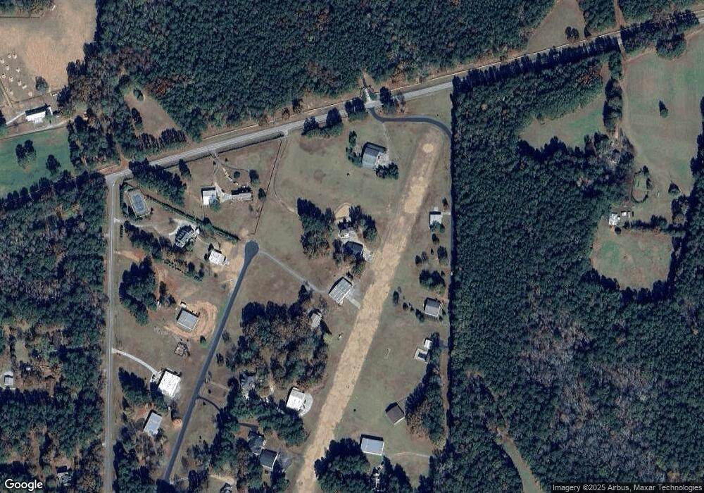
Map
Nearby Homes
- 184 Quail Rd
- 5092 W Mcintosh Rd
- 5555 W Mcintosh Rd
- 4101 W Ellis Rd
- 395 W Mcintosh Rd
- 150 Goodman Dr
- 177 Lowery Rd
- 3 ACRES Anderson Rd
- 0 W Mcintosh Rd Unit 10527676
- 531 Grant Rd
- 250 Lowery Rd
- 230 Vaughn Rd
- 68 Creekwood Dr
- 164 David Elder Rd
- 160 Carrington Ln
- 130 Brooklet Way
- 135 Vaughn Rd
- 2317 W Ellis Rd
- 190 Gable Rd
- 4251 Fayetteville Rd
- 126 Huff Daland Cir
- 5300 W Mcintosh Rd
- 137 Woolman Ln
- 5380 W Mcintosh Rd
- 135 Woolman Ln
- 210 Crabtree Rd
- 200 Huff Daland Cir
- 122 Huff Daland Cir
- 123 Woolman Ln
- 170 Crabtree Rd
- 117 Woolman Ln
- 118 Huff Daland Cir
- 223 Crabtree Rd
- 160 Crabtree Rd
- 235 Crabtree Rd
- 173 Crabtree Rd
- 114 Huff Daland Cir
- 111 Woolman Ln
- 0 Crabtree Rd Unit 20101710
- 0 Crabtree Rd Unit 20083149