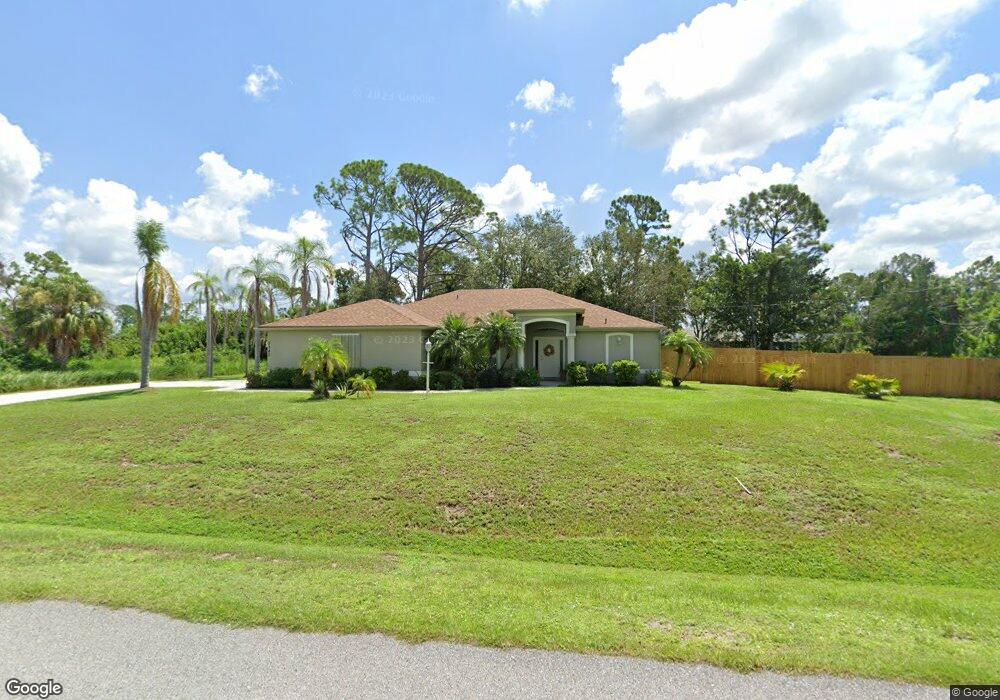
5340 Weatherton St North Port, FL 34288
Estimated Value: $379,360 - $432,000
3
Beds
2
Baths
1,923
Sq Ft
$210/Sq Ft
Est. Value
About This Home
This home is located at 5340 Weatherton St, North Port, FL 34288 and is currently estimated at $403,340, approximately $209 per square foot. 5340 Weatherton St is a home located in Sarasota County with nearby schools including Atwater Elementary School, North Port High School, and Woodland Middle School.
Ownership History
Date
Name
Owned For
Owner Type
Purchase Details
Closed on
Feb 10, 2023
Sold by
Litke Claire E
Bought by
Smith Stephen P and Smith Paula A
Current Estimated Value
Purchase Details
Closed on
Jun 20, 2002
Sold by
Allstate Bldr Sw Fl Inc
Bought by
Budrick Carol M and Litke Claire E
Purchase Details
Closed on
Jan 9, 2002
Sold by
T N R Co Inc
Bought by
Allstate Bldrs Sw Fl Inc
Purchase Details
Closed on
Feb 7, 1997
Sold by
Clerk Circuit Court
Bought by
Est Lands Excavators
Create a Home Valuation Report for This Property
The Home Valuation Report is an in-depth analysis detailing your home's value as well as a comparison with similar homes in the area
Home Values in the Area
Average Home Value in this Area
Purchase History
| Date | Buyer | Sale Price | Title Company |
|---|---|---|---|
| Smith Stephen P | $20,000 | -- | |
| Budrick Carol M | $161,300 | -- | |
| Allstate Bldrs Sw Fl Inc | $3,000 | -- | |
| Est Lands Excavators | $700 | -- | |
| Est Lands Excavators | $700 | -- | |
| Est Lands Excavators | $700 | -- |
Source: Public Records
Tax History Compared to Growth
Tax History
| Year | Tax Paid | Tax Assessment Tax Assessment Total Assessment is a certain percentage of the fair market value that is determined by local assessors to be the total taxable value of land and additions on the property. | Land | Improvement |
|---|---|---|---|---|
| 2024 | $530 | $148,327 | -- | -- |
| 2023 | $2,304 | $140,007 | $0 | $0 |
| 2022 | $600 | $147,229 | $0 | $0 |
| 2021 | $2,367 | $142,941 | $0 | $0 |
| 2020 | $2,344 | $140,967 | $0 | $0 |
| 2019 | $2,274 | $137,798 | $0 | $0 |
| 2018 | $0 | $135,229 | $0 | $0 |
| 2017 | $2,067 | $132,448 | $0 | $0 |
| 2016 | $2,058 | $171,500 | $9,700 | $161,800 |
| 2015 | $2,090 | $155,600 | $7,600 | $148,000 |
| 2014 | $2,059 | $125,911 | $0 | $0 |
Source: Public Records
Map
Nearby Homes
- 5290 Weatherton St
- 5262 Weatherton St
- 0 Kenvil Dr Unit MFRC7505533
- 0 Longbow Ave Unit MFRC7508594
- 5365 Ensley Terrace
- 0 Jonquil Terrace
- 5574 Fairlane Dr
- 1214 Rumson Ct
- 17314 Wellsley Ave
- 17362 Wellsley Ave
- 1212 Gillespie Ave
- 17285 Malta Ave
- 1084 W Hillsborough Blvd
- LOT 13 Rumson Ct
- 0 Pinson Dr
- 17363 Wellsley Ave
- 16834 Toledo Blade Blvd
- 17427 Hillsborough Blvd
- 1124 W Hillsborough Blvd
- 0 Foxhall Rd
- 0 Weatherton St Unit C7244982
- 5304 Weatherton St
- 0 Street Unit A4530711
- 0 Street Unit C6991848
- 1118 Ensley Ct
- 5349 Weatherton St
- 5307 Weatherton St
- 5267 Ensley Terrace
- 5363 Weatherton St
- 5382 Weatherton St
- 1150 Longbow Ave
- 1155 Ensley Ct
- 5245 Ensley Terrace
- 1008255007 Ensley Terrace
- LOT 5 Ensley Terrace