53410 Pontiac Rd Hancock, MI 49930
Estimated Value: $723,985
3
Beds
3
Baths
4,536
Sq Ft
$160/Sq Ft
Est. Value
About This Home
This home is located at 53410 Pontiac Rd, Hancock, MI 49930 and is currently estimated at $723,985, approximately $159 per square foot. 53410 Pontiac Rd is a home with nearby schools including Barkell Elementary School, Hancock Middle/High School, and Copper Island Academy.
Ownership History
Date
Name
Owned For
Owner Type
Purchase Details
Closed on
Jul 10, 2020
Sold by
Gregory Diane E
Bought by
Kokkonen Travis
Current Estimated Value
Home Financials for this Owner
Home Financials are based on the most recent Mortgage that was taken out on this home.
Original Mortgage
$52,000
Interest Rate
3.1%
Mortgage Type
Construction
Purchase Details
Closed on
Jul 1, 2002
Bought by
Sears Timothy T and Sears Mary H
Create a Home Valuation Report for This Property
The Home Valuation Report is an in-depth analysis detailing your home's value as well as a comparison with similar homes in the area
Home Values in the Area
Average Home Value in this Area
Purchase History
| Date | Buyer | Sale Price | Title Company |
|---|---|---|---|
| Kokkonen Travis | $65,000 | Keweenaw Title Agcy | |
| Sears Timothy T | $140,000 | -- |
Source: Public Records
Mortgage History
| Date | Status | Borrower | Loan Amount |
|---|---|---|---|
| Closed | Kokkonen Travis | $52,000 |
Source: Public Records
Tax History Compared to Growth
Tax History
| Year | Tax Paid | Tax Assessment Tax Assessment Total Assessment is a certain percentage of the fair market value that is determined by local assessors to be the total taxable value of land and additions on the property. | Land | Improvement |
|---|---|---|---|---|
| 2025 | $6,296 | $450,163 | $0 | $0 |
| 2024 | $2,439 | $396,710 | $0 | $0 |
| 2023 | $2,326 | $335,223 | $0 | $0 |
| 2022 | $6,337 | $304,466 | $0 | $0 |
| 2021 | $6,127 | $287,565 | $0 | $0 |
| 2020 | $5,675 | $233,907 | $0 | $0 |
| 2019 | $5,263 | $220,606 | $0 | $0 |
| 2018 | $5,186 | $189,829 | $0 | $0 |
| 2017 | $4,887 | $195,694 | $0 | $0 |
| 2016 | -- | $151,914 | $0 | $0 |
| 2015 | -- | $138,322 | $0 | $0 |
| 2014 | -- | $132,434 | $0 | $0 |
Source: Public Records
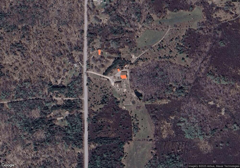
Map
Nearby Homes
- 52923 Lake Annie Rd
- 19890 Wildwood Rd
- TBD Oikarinen Rd
- 54509 Salo Rd
- TBD F Boston Rd
- TBD B Gorton Rd
- Lot 1 Airport Rd Unit Co Rd 35B
- 50739 5th St
- tbd M203
- TBD Lake Annie Cross Cut Rd
- TBD16 Dolomite Dr
- TBD15 Dolomite Dr
- TBD14 Dolomite Dr
- TBD13 Dolomite Dr
- TBD 12 Dolomite Dr
- TBD8 Dolomite Dr
- TBD7 Dolomite Dr
- TBD6 Dolomite Dr
- TBD5 Dolomite Dr
- TBD4 Dolomite Dr
- 53514 Pontiac Rd
- 53419 Pontiac Rd
- 53566 Pontiac Rd
- 53323 Pontiac Rd
- 53696 Pontiac Rd
- 53357 Pontiac Rd
- 53357 Pontiac Rd
- 53765 Pontiac Rd
- 20754 Boston Crosscut Rd
- 20754 Boston Crosscut Rd
- 20238 Boston Crosscut Rd
- 53920 Pontiac Rd
- 20190 Boston Crosscut Rd
- 20190 Boston Crosscut Rd
- 54004 Pontiac Rd
- 20098 Boston Crosscut Rd
- 20017 Mattson Rd
- 54046 Pontiac Rd
- 54031 Pontiac Rd
- 20010 Boston Crosscut Rd