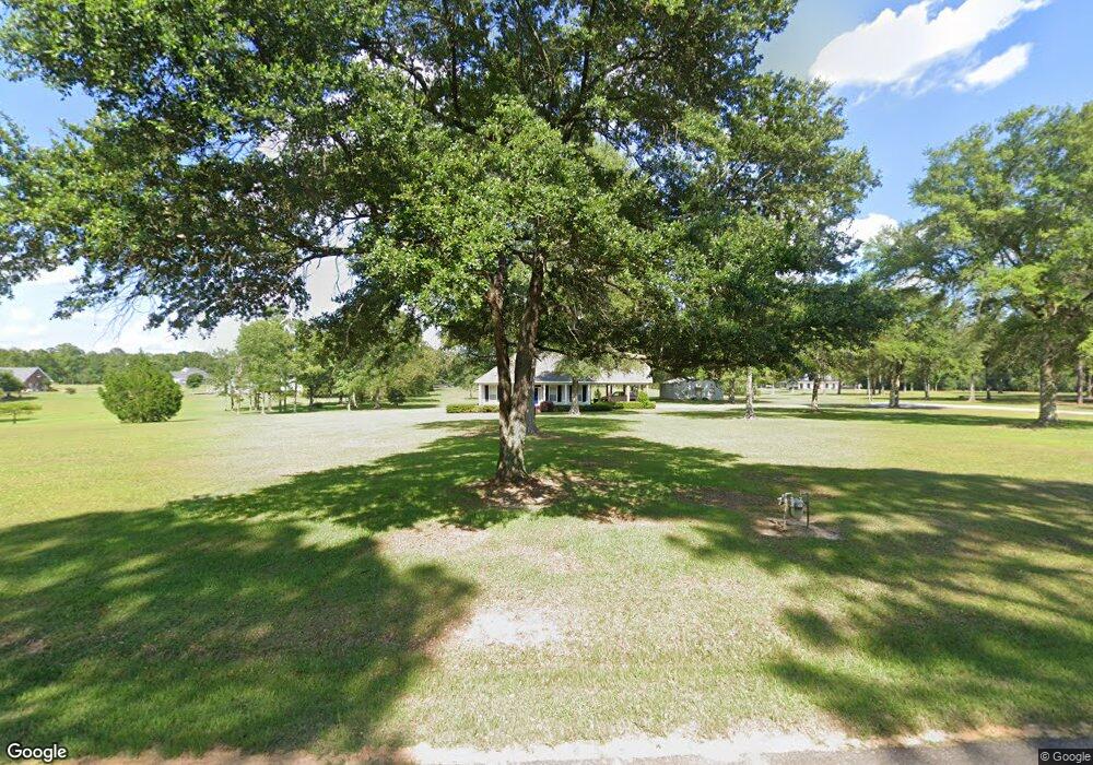
53432 Puls Rd Independence, LA 70443
Estimated Value: $280,484 - $459,000
Studio
--
Bath
3,197
Sq Ft
$116/Sq Ft
Est. Value
About This Home
This home is located at 53432 Puls Rd, Independence, LA 70443 and is currently estimated at $371,371, approximately $116 per square foot. 53432 Puls Rd is a home located in Tangipahoa Parish with nearby schools including Loranger Elementary School, Loranger Middle School, and Loranger High School.
Create a Home Valuation Report for This Property
The Home Valuation Report is an in-depth analysis detailing your home's value as well as a comparison with similar homes in the area
Tax History
| Year | Tax Paid | Tax Assessment Tax Assessment Total Assessment is a certain percentage of the fair market value that is determined by local assessors to be the total taxable value of land and additions on the property. | Land | Improvement |
|---|---|---|---|---|
| 2025 | $1,310 | $18,170 | $803 | $17,367 |
| 2024 | $1,303 | $18,170 | $803 | $17,367 |
| 2023 | $1,319 | $18,283 | $763 | $17,520 |
| 2022 | $1,319 | $18,283 | $763 | $17,520 |
| 2021 | $784 | $18,283 | $763 | $17,520 |
| 2020 | $1,319 | $18,283 | $763 | $17,520 |
| 2019 | $1,275 | $17,668 | $763 | $16,905 |
| 2018 | $1,275 | $17,668 | $763 | $16,905 |
| 2017 | $1,275 | $17,668 | $763 | $16,905 |
| 2016 | $1,275 | $17,668 | $763 | $16,905 |
| 2015 | $788 | $18,403 | $763 | $17,640 |
| 2014 | $787 | $18,403 | $763 | $17,640 |
Source: Public Records
Map
Nearby Homes
- 52254 Puls Ct
- 54050 Addison Rd
- 53144 S Bennett Rd
- 0 S Bennett Rd Unit 2513586
- 53361 Caitlyn`s Way None
- 53361 Caitlyns Way
- 54198 Straughan Nursery Rd
- 16202 W Bennett Rd
- 16658 Highway 40 Other
- 16658 Highway 40 E
- 55021 Coyote Trail None
- 18178 Grey Wolf Trail
- 16536 Louisiana 40
- 18171 Grey Wolf Trail
- 18188 Red Wolf Trail
- 18181 Red Wolf Trail
- 53511 Harvest Ln
- 54120 Passman Rd
Your Personal Tour Guide
Ask me questions while you tour the home.