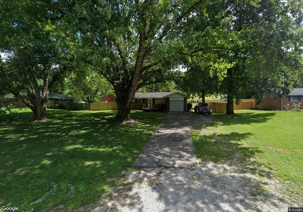
5344 Corwin Rd Waynesville, OH 45068
Estimated Value: $242,000 - $313,372
3
Beds
1
Bath
1,368
Sq Ft
$203/Sq Ft
Est. Value
About This Home
This home is located at 5344 Corwin Rd, Waynesville, OH 45068 and is currently estimated at $277,686, approximately $202 per square foot. 5344 Corwin Rd is a home located in Warren County with nearby schools including Waynesville Elementary School, Waynesville Middle School, and Waynesville High School.
Ownership History
Date
Name
Owned For
Owner Type
Purchase Details
Closed on
Aug 4, 2008
Sold by
Lasalle Bank National Association
Bought by
Lawless Kevin
Current Estimated Value
Home Financials for this Owner
Home Financials are based on the most recent Mortgage that was taken out on this home.
Original Mortgage
$102,335
Outstanding Balance
$66,834
Interest Rate
6.66%
Mortgage Type
Purchase Money Mortgage
Estimated Equity
$210,852
Purchase Details
Closed on
Apr 2, 2008
Sold by
Longworth Frank B and Case #07Cv69388
Bought by
Lasalle Bank Na
Purchase Details
Closed on
Feb 16, 2006
Sold by
Marrah Betty and Marrah Charles
Bought by
Longworth Frank B
Home Financials for this Owner
Home Financials are based on the most recent Mortgage that was taken out on this home.
Original Mortgage
$117,600
Interest Rate
6.2%
Mortgage Type
Balloon
Purchase Details
Closed on
May 15, 1990
Sold by
Lynch Lynch and Lynch Jay
Bought by
Lynch Lynch and Lynch Betty
Create a Home Valuation Report for This Property
The Home Valuation Report is an in-depth analysis detailing your home's value as well as a comparison with similar homes in the area
Home Values in the Area
Average Home Value in this Area
Purchase History
| Date | Buyer | Sale Price | Title Company |
|---|---|---|---|
| Lawless Kevin | $105,500 | Attorney | |
| Lasalle Bank Na | $90,000 | None Available | |
| Longworth Frank B | $147,000 | First Central Land Title | |
| Lynch Lynch | -- | -- |
Source: Public Records
Mortgage History
| Date | Status | Borrower | Loan Amount |
|---|---|---|---|
| Open | Lawless Kevin | $102,335 | |
| Previous Owner | Longworth Frank B | $117,600 |
Source: Public Records
Tax History
| Year | Tax Paid | Tax Assessment Tax Assessment Total Assessment is a certain percentage of the fair market value that is determined by local assessors to be the total taxable value of land and additions on the property. | Land | Improvement |
|---|---|---|---|---|
| 2025 | $2,360 | $59,180 | $20,040 | $39,140 |
| 2024 | $2,360 | $59,180 | $20,040 | $39,140 |
| 2023 | $2,070 | $45,545 | $10,717 | $38,874 |
| 2022 | $2,024 | $45,546 | $10,717 | $34,829 |
| 2021 | $1,941 | $45,546 | $10,717 | $34,829 |
| 2020 | $1,830 | $37,027 | $8,712 | $28,315 |
| 2019 | $1,830 | $37,027 | $8,712 | $28,315 |
| 2018 | $1,831 | $37,027 | $8,712 | $28,315 |
| 2017 | $1,919 | $36,204 | $8,649 | $27,556 |
| 2016 | $1,791 | $36,204 | $8,649 | $27,556 |
| 2015 | $1,794 | $36,204 | $8,649 | $27,556 |
| 2014 | $1,718 | $32,910 | $7,860 | $25,050 |
| 2013 | $1,715 | $36,470 | $8,710 | $27,760 |
Source: Public Records
Map
Nearby Homes
- 6363 Trillium Dr
- 26 Country Lakes Blvd
- 10 Country Lakes Blvd
- 20 Country Lakes Blvd
- 0 Ohio 73 Unit 944080
- 4 Corwin Rd
- 155 S Main St
- 1 Cumberland Ct
- 325 Old Stage Rd
- 6638 New Burlington Rd
- 773 Joycie Ln
- 6794 Sun Ridge Way
- 1060 Lytle Rd
- 645 Preston Dr
- 735 Preston Dr
- 3276 N Waynesville Rd
- 6415 Township Line Rd
- 2566 E Lower Springboro Rd
- Lot 5 Robert's Way
- 9 Cumberland Ct
- 5344 Corwin Rd
- 5326 Corwin Rd
- 5360 Corwin Rd
- 5312 Corwin Rd
- 5376 Corwin Rd
- 5294 Corwin Rd
- 5400 Corwin Rd
- 5276 Corwin Rd
- 5416 Corwin Rd
- 5260 Corwin Rd
- 5442 Corwin Rd
- 5480 Corwin Rd
- 5208 Corwin Rd
- 5506 Corwin Rd
- 5536 Corwin Rd
- 5532 Corwin Rd
- 5560 Corwin Rd
- 5134 Corwin Rd
- 5539 Fairfield Dr
- 5572 Corwin Rd
Your Personal Tour Guide
Ask me questions while you tour the home.