Estimated Value: $200,000 - $256,305
4
Beds
2
Baths
2,085
Sq Ft
$109/Sq Ft
Est. Value
About This Home
This home is located at 5344 E Stanley Rd, Flint, MI 48506 and is currently estimated at $228,076, approximately $109 per square foot. 5344 E Stanley Rd is a home located in Genesee County with nearby schools including Richfield Early Learning Center, St. Mark Lutheran School, and Holy Rosary Catholic School.
Ownership History
Date
Name
Owned For
Owner Type
Purchase Details
Closed on
Aug 28, 2018
Sold by
Jinks Russell R
Bought by
Lonnors Sherry L
Current Estimated Value
Purchase Details
Closed on
Dec 16, 2010
Sold by
Jinks Russell R
Bought by
Connors Sherry L
Home Financials for this Owner
Home Financials are based on the most recent Mortgage that was taken out on this home.
Original Mortgage
$45,000
Interest Rate
8%
Mortgage Type
Seller Take Back
Purchase Details
Closed on
Jul 22, 2010
Sold by
Jinks Russell and Estate Of Robert R Jinks
Bought by
Jinks Russell
Create a Home Valuation Report for This Property
The Home Valuation Report is an in-depth analysis detailing your home's value as well as a comparison with similar homes in the area
Home Values in the Area
Average Home Value in this Area
Purchase History
| Date | Buyer | Sale Price | Title Company |
|---|---|---|---|
| Lonnors Sherry L | -- | None Available | |
| Connors Sherry L | $45,000 | None Available | |
| Jinks Russell | -- | None Available |
Source: Public Records
Mortgage History
| Date | Status | Borrower | Loan Amount |
|---|---|---|---|
| Previous Owner | Connors Sherry L | $45,000 |
Source: Public Records
Tax History
| Year | Tax Paid | Tax Assessment Tax Assessment Total Assessment is a certain percentage of the fair market value that is determined by local assessors to be the total taxable value of land and additions on the property. | Land | Improvement |
|---|---|---|---|---|
| 2025 | $2,937 | $116,500 | $0 | $0 |
| 2024 | $621 | $108,900 | $0 | $0 |
| 2023 | $593 | $97,600 | $0 | $0 |
| 2022 | $2,350 | $90,000 | $0 | $0 |
| 2021 | $2,334 | $82,600 | $0 | $0 |
| 2020 | $542 | $75,000 | $0 | $0 |
| 2019 | $534 | $66,900 | $0 | $0 |
| 2018 | $2,578 | $59,300 | $0 | $0 |
| 2017 | $2,251 | $58,400 | $0 | $0 |
| 2016 | $2,232 | $54,400 | $0 | $0 |
| 2015 | $1,940 | $50,200 | $0 | $0 |
| 2014 | $492 | $45,900 | $0 | $0 |
| 2012 | -- | $42,100 | $42,100 | $0 |
Source: Public Records
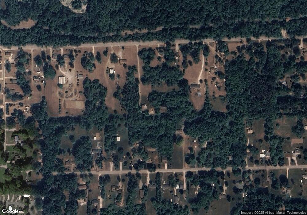
Map
Nearby Homes
- 5412 E Stanley Rd
- 6478 Oxbow Ln
- 254 Green Valley Rd
- 6274 Cree Ct
- 312 Black Oak Ct
- 475 White Willow Dr
- 0 N Genesee Rd Unit 50142777
- 18 Timber Ct
- 654 Basswood Ct
- 649 Basswood Ct
- 7152 Russell St
- 6065 N Genesee Rd
- 5492 N Genesee Rd
- 7047 Birchwood Dr
- 7126 Birchwood Dr
- 4455 Burgundy Dr
- 4392 E Coldwater Rd
- 5964 Kader Dr
- 5131 E Carpenter Rd
- 6076 E Carpenter Rd
- 5364 E Stanley Rd
- 5330 E Stanley Rd
- 5376 E Stanley Rd
- 5316 E Stanley Rd
- 5392 E Stanley Rd
- 5361 Hubbard Dr
- 5347 Hubbard Dr
- 5373 Hubbard Dr
- 5296 E Stanley Rd
- 5339 Hubbard Dr
- 5389 Hubbard Dr
- 5325 Hubbard Dr
- 5405 Hubbard Dr
- 5307 Hubbard Dr
- 5419 Hubbard Dr
- 5422 E Stanley Rd
- 5276 E Stanley Rd
- 5276 E Stanley Rd
- 5438 E Stanley Rd
- 5437 Hubbard Dr
Your Personal Tour Guide
Ask me questions while you tour the home.