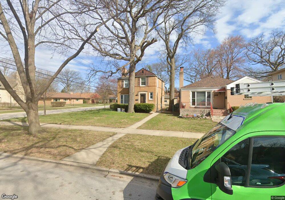
5344 Mulford St Skokie, IL 60077
Southwest Skokie NeighborhoodEstimated Value: $444,000 - $533,000
3
Beds
2
Baths
1,258
Sq Ft
$386/Sq Ft
Est. Value
About This Home
This home is located at 5344 Mulford St, Skokie, IL 60077 and is currently estimated at $485,246, approximately $385 per square foot. 5344 Mulford St is a home located in Cook County with nearby schools including Madison Elementary School, Thomas Edison Elementary School, and Lincoln Junior High School.
Ownership History
Date
Name
Owned For
Owner Type
Purchase Details
Closed on
Mar 2, 2010
Sold by
Leonard Terrence and Leonard Donna
Bought by
Rauch Daniel and Rauch Jenna
Current Estimated Value
Home Financials for this Owner
Home Financials are based on the most recent Mortgage that was taken out on this home.
Original Mortgage
$255,000
Outstanding Balance
$169,262
Interest Rate
5.01%
Mortgage Type
New Conventional
Estimated Equity
$315,984
Create a Home Valuation Report for This Property
The Home Valuation Report is an in-depth analysis detailing your home's value as well as a comparison with similar homes in the area
Home Values in the Area
Average Home Value in this Area
Purchase History
| Date | Buyer | Sale Price | Title Company |
|---|---|---|---|
| Rauch Daniel | $320,000 | None Available |
Source: Public Records
Mortgage History
| Date | Status | Borrower | Loan Amount |
|---|---|---|---|
| Open | Rauch Daniel | $255,000 |
Source: Public Records
Tax History Compared to Growth
Tax History
| Year | Tax Paid | Tax Assessment Tax Assessment Total Assessment is a certain percentage of the fair market value that is determined by local assessors to be the total taxable value of land and additions on the property. | Land | Improvement |
|---|---|---|---|---|
| 2024 | $9,405 | $33,472 | $8,125 | $25,347 |
| 2023 | $9,532 | $33,472 | $8,125 | $25,347 |
| 2022 | $9,532 | $34,000 | $8,125 | $25,875 |
| 2021 | $8,548 | $26,934 | $5,000 | $21,934 |
| 2020 | $8,570 | $26,934 | $5,000 | $21,934 |
| 2019 | $8,626 | $30,263 | $5,000 | $25,263 |
| 2018 | $9,602 | $30,256 | $4,531 | $25,725 |
| 2017 | $9,667 | $30,256 | $4,531 | $25,725 |
| 2016 | $9,406 | $30,256 | $4,531 | $25,725 |
| 2015 | $8,786 | $27,230 | $3,906 | $23,324 |
| 2014 | $8,608 | $27,230 | $3,906 | $23,324 |
| 2013 | $8,702 | $27,230 | $3,906 | $23,324 |
Source: Public Records
Map
Nearby Homes
- 5261 Mulford St
- 5501 Mulford St
- 5500 Harvard Terrace
- 5251 Galitz St Unit 410
- 5251 Galitz St Unit 311
- 5207 Galitz St
- 5153 Dobson St
- 5505 Oakton St
- 7848 Lincoln Ave
- 7507 Frontage Rd
- 7500 Laramie Ave
- 7748 Lincoln Ave
- 8128 Laramie Ave
- 4953 Oakton St Unit 510
- 4953 Oakton St Unit P11
- 4953 Oakton St Unit 207
- 4931 Brummel St
- 5000 Oakton St Unit 505
- 4907 Hull St
- 4906 Hull St
- 5336 Mulford St
- 5332 Mulford St
- 5330 Mulford St
- 5351 George St
- 7810 Long Ave
- 7810 Long Ave
- 7800 Long Ave
- 7800 Long Ave
- 5341 George St
- 5326 Mulford St
- 5341 Mulford St
- 5341 Mulford St
- 7814 Long Ave
- 5335 George St
- 5331 Mulford St
- 5331 Mulford St
- 7820 Long Ave
- 7820 Long Ave
- 5318 Mulford St
- 5329 George St