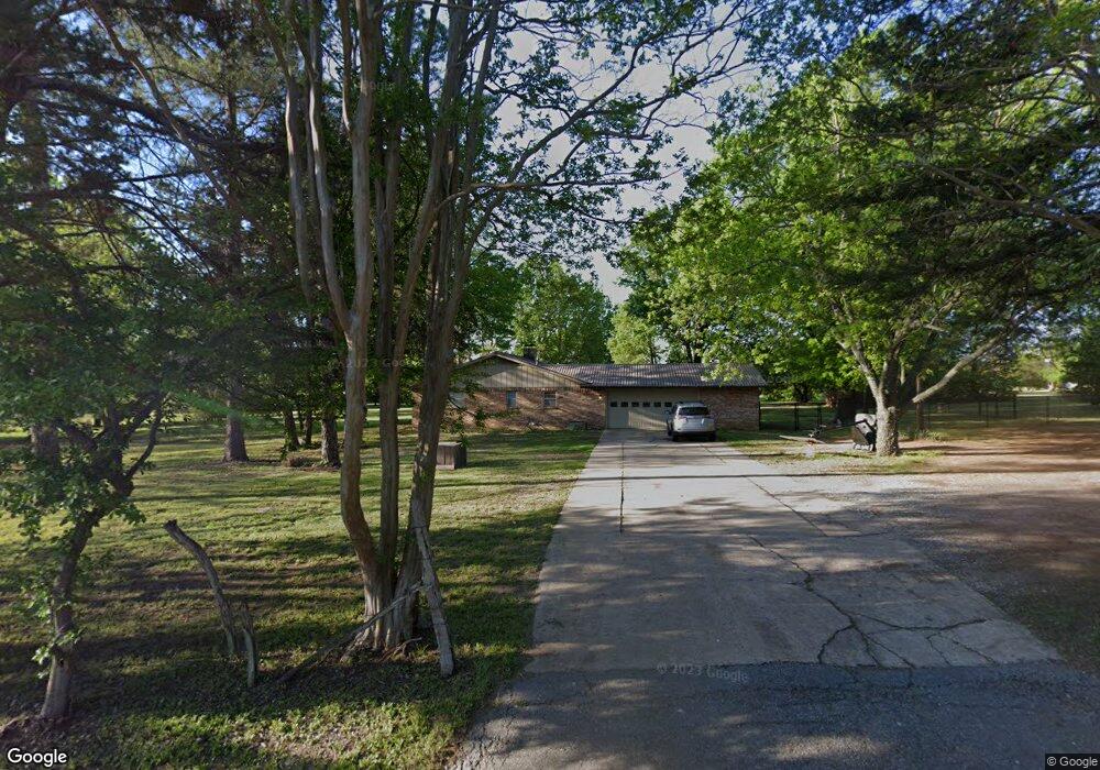
5345 Highland Dr Denison, TX 75020
Estimated Value: $446,000 - $498,012
4
Beds
3
Baths
2,944
Sq Ft
$160/Sq Ft
Est. Value
About This Home
This home is located at 5345 Highland Dr, Denison, TX 75020 and is currently estimated at $472,006, approximately $160 per square foot. 5345 Highland Dr is a home located in Grayson County with nearby schools including Mayes Elementary School, Scott Middle School, and Denison High School.
Ownership History
Date
Name
Owned For
Owner Type
Purchase Details
Closed on
Oct 11, 2012
Sold by
Ballew Betty Ann
Bought by
Holder Justin C
Current Estimated Value
Home Financials for this Owner
Home Financials are based on the most recent Mortgage that was taken out on this home.
Original Mortgage
$75,000
Outstanding Balance
$12,456
Interest Rate
2.89%
Mortgage Type
New Conventional
Estimated Equity
$459,550
Create a Home Valuation Report for This Property
The Home Valuation Report is an in-depth analysis detailing your home's value as well as a comparison with similar homes in the area
Home Values in the Area
Average Home Value in this Area
Purchase History
| Date | Buyer | Sale Price | Title Company |
|---|---|---|---|
| Holder Justin C | -- | Grayson County Title |
Source: Public Records
Mortgage History
| Date | Status | Borrower | Loan Amount |
|---|---|---|---|
| Open | Holder Justin C | $75,000 |
Source: Public Records
Tax History Compared to Growth
Tax History
| Year | Tax Paid | Tax Assessment Tax Assessment Total Assessment is a certain percentage of the fair market value that is determined by local assessors to be the total taxable value of land and additions on the property. | Land | Improvement |
|---|---|---|---|---|
| 2025 | $4,281 | $393,971 | -- | -- |
| 2024 | $5,771 | $358,155 | $0 | $0 |
| 2023 | $3,780 | $325,595 | $0 | $0 |
| 2022 | $5,103 | $295,995 | $0 | $0 |
| 2021 | $5,032 | $313,953 | $84,925 | $229,028 |
| 2020 | $4,858 | $307,298 | $78,013 | $229,285 |
| 2019 | $4,711 | $295,429 | $64,286 | $231,143 |
| 2018 | $4,328 | $280,844 | $60,692 | $220,152 |
| 2017 | $3,959 | $266,192 | $56,762 | $209,430 |
| 2016 | $3,599 | $167,081 | $47,375 | $119,706 |
| 2015 | $3,071 | $166,218 | $40,734 | $125,484 |
| 2014 | $2,983 | $154,730 | $40,734 | $113,996 |
Source: Public Records
Map
Nearby Homes
- 106 Glenwood Dr
- Lot 6, 1088 Waters Edge Dr
- Lot 7, 1070 Waters Edge Dr
- Lot 9, 1036 Waters Edge Dr
- Lot 10, 1014 Waters Edge Dr
- TBD Highland Dr
- 20 Golf Walk Cir
- 334 Golf Walk Cir
- 000 TBD Golf Walk Cir
- 4135 Helen Dr
- Lot 3, 1055 Waters Edge Dr
- Lot 4, 1069 Waters Edge Dr
- Lot 2, 1037 Waters Edge Dr
- Lot 1, 1015 Waters Edge Dr
- Lot 5, 1087 Waters Edge Dr
- 3906 Highland Dr
- 193 Eisenhower Rd
- 1240 Carla St
- 2923 W Parnell St
- 000 Eisenhower Rd
- 5275 Highland Dr
- 5375 Highland Dr
- 93 Glenwood Dr
- 5241 Highland Dr
- 5358 Highland Dr
- 96 Melrose Cir
- 44 Melrose Cir
- 175 Glenwood Dr
- 5374 Highland Dr
- 130 Melrose Cir
- 6700 Fm 120
- 17 Melrose Cir
- 109 Melrose Cir
- 5300 Highland Dr
- 180 Melrose Cir
- 5288 Highland Dr
- 147 Melrose Cir
- 229 Glenwood Dr
- 5230 Highland Dr
- 189 Melrose Cir