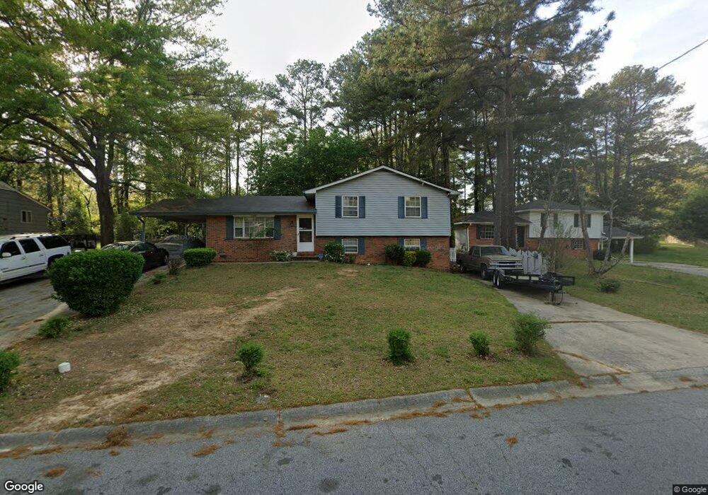
5345 Westford Cir Unit 5 Atlanta, GA 30349
Estimated Value: $179,000 - $213,793
3
Beds
2
Baths
1,251
Sq Ft
$159/Sq Ft
Est. Value
About This Home
This home is located at 5345 Westford Cir Unit 5, Atlanta, GA 30349 and is currently estimated at $199,448, approximately $159 per square foot. 5345 Westford Cir Unit 5 is a home located in Fulton County with nearby schools including Heritage Elementary School, Woodland Middle School, and Banneker High School.
Ownership History
Date
Name
Owned For
Owner Type
Purchase Details
Closed on
Nov 30, 2006
Sold by
Jennings Robert J
Bought by
Malcom Lonza and Malcom Shelia
Current Estimated Value
Home Financials for this Owner
Home Financials are based on the most recent Mortgage that was taken out on this home.
Original Mortgage
$107,000
Interest Rate
6.05%
Mortgage Type
New Conventional
Purchase Details
Closed on
Nov 12, 2003
Sold by
Jennings Robert J
Bought by
Guy Dwight W and Guy Romani
Home Financials for this Owner
Home Financials are based on the most recent Mortgage that was taken out on this home.
Original Mortgage
$97,000
Interest Rate
5.93%
Purchase Details
Closed on
Sep 25, 1995
Sold by
First Family Servs Ga Inc
Bought by
Jennings Robert J
Purchase Details
Closed on
Sep 5, 1995
Sold by
Spear Christine
Bought by
First Family Fin Servs Ga
Create a Home Valuation Report for This Property
The Home Valuation Report is an in-depth analysis detailing your home's value as well as a comparison with similar homes in the area
Home Values in the Area
Average Home Value in this Area
Purchase History
| Date | Buyer | Sale Price | Title Company |
|---|---|---|---|
| Malcom Lonza | $107,000 | -- | |
| Guy Dwight W | $97,000 | -- | |
| Jennings Robert J | $45,000 | -- | |
| First Family Fin Servs Ga | $47,000 | -- |
Source: Public Records
Mortgage History
| Date | Status | Borrower | Loan Amount |
|---|---|---|---|
| Previous Owner | Malcom Lonza | $107,000 | |
| Previous Owner | Guy Dwight W | $97,000 |
Source: Public Records
Tax History Compared to Growth
Tax History
| Year | Tax Paid | Tax Assessment Tax Assessment Total Assessment is a certain percentage of the fair market value that is determined by local assessors to be the total taxable value of land and additions on the property. | Land | Improvement |
|---|---|---|---|---|
| 2025 | $441 | $75,640 | $20,640 | $55,000 |
| 2023 | $2,506 | $88,800 | $24,480 | $64,320 |
| 2022 | $288 | $43,240 | $9,560 | $33,680 |
| 2021 | $279 | $41,960 | $9,280 | $32,680 |
| 2020 | $254 | $38,920 | $7,160 | $31,760 |
| 2019 | $298 | $36,280 | $4,880 | $31,400 |
| 2018 | $450 | $26,920 | $4,040 | $22,880 |
| 2017 | $156 | $10,280 | $2,000 | $8,280 |
| 2016 | $156 | $10,280 | $2,000 | $8,280 |
| 2015 | $156 | $10,280 | $2,000 | $8,280 |
| 2014 | $157 | $10,280 | $2,000 | $8,280 |
Source: Public Records
Map
Nearby Homes
- 5312 Westford Cir
- 5425 Westford Cir
- 2760 Swansea Ct
- 5342 Sand Bar Ln
- 5430 Old Bill Cook Rd
- 5337 Jerome Rd
- 5439 Baybrook Cir
- 5441 Baybrook Cir
- 5443 Baybrook Cir
- 5445 Baybrook Cir
- 5449 Baybrook Cir
- 5157 Seashell Ln
- 0 Jerome Rd Unit TRACT 1 10574417
- 2765 Live Oak Trail
- 2910 Jerome Rd
- 5149 Seashell Ln
- 2595 Northfield Ct
- 2670 Alderbrook Ct
- 5355 Westford Cir
- 5365 Westford Cir
- 5330 Old Bill Cook Rd
- 5320 Old Bill Cook Rd
- 5320 Old Bill Cook Rd Unit 21
- 5310 Old Bill Cook Rd
- 5340 Old Bill Cook Rd
- 5350 Westford Cir
- 5360 Westford Cir
- 5315 Westford Cir
- 5336 Westford Cir Unit 5
- 5350 Old Bill Cook Rd
- 5328 Westford Cir Unit 4
- 5300 Old Bill Cook Rd
- 5368 Westford Cir
- 5377 Westford Cir
- 5320 Westford Cir
- 0 Westford Cir Unit 7442397
- 0 Westford Cir Unit 7311354
- 0 Westford Cir Unit 7031100