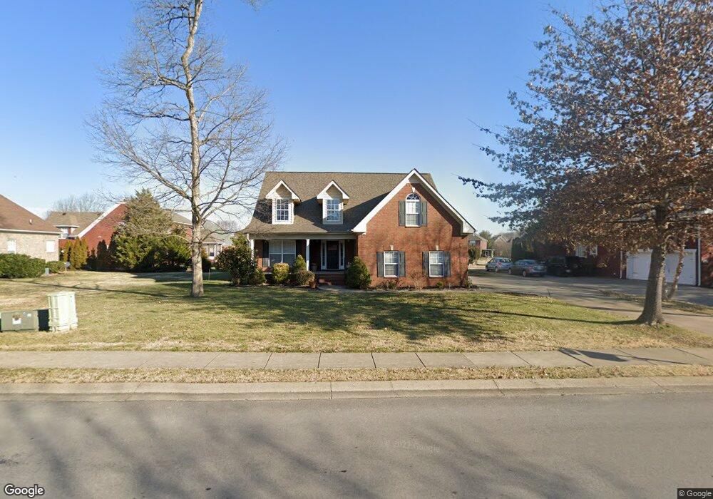
5348 Saint Ives Dr Murfreesboro, TN 37128
Estimated Value: $519,691 - $566,000
Studio
3
Baths
2,678
Sq Ft
$206/Sq Ft
Est. Value
About This Home
This home is located at 5348 Saint Ives Dr, Murfreesboro, TN 37128 and is currently estimated at $551,423, approximately $205 per square foot. 5348 Saint Ives Dr is a home located in Rutherford County with nearby schools including Blackman Elementary School, Overall Creek Elementary School, and Blackman Middle School.
Ownership History
Date
Name
Owned For
Owner Type
Purchase Details
Closed on
Nov 28, 2006
Sold by
David Mckenzie
Bought by
Deatherage Cambron J and Deatherage Linda R
Current Estimated Value
Purchase Details
Closed on
May 3, 2004
Sold by
Signature Homes Inc
Bought by
David Mckenzie
Home Financials for this Owner
Home Financials are based on the most recent Mortgage that was taken out on this home.
Original Mortgage
$210,995
Interest Rate
3.5%
Create a Home Valuation Report for This Property
The Home Valuation Report is an in-depth analysis detailing your home's value as well as a comparison with similar homes in the area
Home Values in the Area
Average Home Value in this Area
Purchase History
| Date | Buyer | Sale Price | Title Company |
|---|---|---|---|
| Deatherage Cambron J | $229,250 | -- | |
| David Mckenzie | $222,100 | -- |
Source: Public Records
Mortgage History
| Date | Status | Borrower | Loan Amount |
|---|---|---|---|
| Previous Owner | David Mckenzie | $210,995 |
Source: Public Records
Tax History
| Year | Tax Paid | Tax Assessment Tax Assessment Total Assessment is a certain percentage of the fair market value that is determined by local assessors to be the total taxable value of land and additions on the property. | Land | Improvement |
|---|---|---|---|---|
| 2025 | $3,074 | $108,475 | $15,000 | $93,475 |
| 2024 | $3,068 | $108,475 | $15,000 | $93,475 |
| 2023 | $2,035 | $108,475 | $15,000 | $93,475 |
| 2022 | $1,753 | $108,475 | $15,000 | $93,475 |
| 2021 | $1,640 | $73,875 | $15,000 | $58,875 |
| 2020 | $1,640 | $73,875 | $15,000 | $58,875 |
| 2019 | $1,640 | $73,875 | $15,000 | $58,875 |
| 2018 | $2,252 | $73,875 | $0 | $0 |
| 2017 | $2,295 | $59,050 | $0 | $0 |
| 2016 | $2,296 | $59,050 | $0 | $0 |
| 2015 | $2,296 | $59,050 | $0 | $0 |
| 2014 | $1,468 | $59,050 | $0 | $0 |
| 2013 | -- | $58,950 | $0 | $0 |
Source: Public Records
Map
Nearby Homes
- 1214 Timber Creek Dr
- 1311 Heather Place
- 5037 Saint Ives Dr
- 5807 Roxbury Dr
- 5014 Saint Ives Dr
- 1413 Burrows Ave
- 5042 Saint Ives Dr
- 1410 Dublin Ct
- 1328 Farmwood Dr
- 1221 Avery Dr
- 5751 Enclave Dr
- 5923 Enclave Dr
- 1526 Dewsbury Dr
- 5810 Enclave Dr
- 427 Creekview Dr
- 5350 Tony Lama Ln
- 5311 Tony Lama Ln
- 5326 Dan Post Way
- 5304 Dan Post Way
- 5960 Cottingham Dr
- 5344 St Ives Dr
- 5344 Saint Ives Dr
- 2108 Olmstead Ct
- 5352 Saint Ives Dr
- 5340 Saint Ives Dr
- 1402 Trafalgar Ct
- 2114 Olmstead Ct
- 5349 Saint Ives Dr
- 5345 Saint Ives Dr
- 5341 Saint Ives Dr
- 5353 Saint Ives Dr
- 1405 Trafalgar Ct
- 1305 Saint Ives Ct
- 1309 Saint Ives Ct
- 1406 Trafalgar Ct
- 1313 Saint Ives Ct
- 5337 Saint Ives Dr
- 5406 Saint Ives Dr
- 2105 Olmstead Ct
- 2113 Olmstead Ct
Your Personal Tour Guide
Ask me questions while you tour the home.