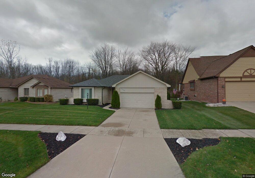
53482 Andrew Cir New Baltimore, MI 48047
Estimated Value: $337,000 - $390,000
15
Beds
2
Baths
1,526
Sq Ft
$237/Sq Ft
Est. Value
About This Home
This home is located at 53482 Andrew Cir, New Baltimore, MI 48047 and is currently estimated at $360,952, approximately $236 per square foot. 53482 Andrew Cir is a home located in Macomb County with nearby schools including Ashley Elementary School, Anchor Bay Middle School North, and Anchor Bay High School.
Ownership History
Date
Name
Owned For
Owner Type
Purchase Details
Closed on
Jan 3, 2023
Sold by
Demaggio Leigh
Bought by
Demaggio Leigh
Current Estimated Value
Purchase Details
Closed on
Mar 19, 2010
Sold by
Demaggio Anthony and Demaggio Leigh
Bought by
Demaggio Leigh
Purchase Details
Closed on
Oct 4, 2005
Sold by
Demaggio Anthony P and Demaggio Leigh
Bought by
Demaggio Leigh and Demaggio Anthony
Purchase Details
Closed on
Oct 27, 1998
Sold by
Zaineb Karen L
Bought by
Demaggio Anthony P
Create a Home Valuation Report for This Property
The Home Valuation Report is an in-depth analysis detailing your home's value as well as a comparison with similar homes in the area
Home Values in the Area
Average Home Value in this Area
Purchase History
| Date | Buyer | Sale Price | Title Company |
|---|---|---|---|
| Demaggio Leigh | -- | Land Title | |
| Demaggio Leigh | -- | None Available | |
| Demaggio Leigh | -- | Metropolitan Title Company | |
| Demaggio Anthony P | $163,000 | -- |
Source: Public Records
Tax History Compared to Growth
Tax History
| Year | Tax Paid | Tax Assessment Tax Assessment Total Assessment is a certain percentage of the fair market value that is determined by local assessors to be the total taxable value of land and additions on the property. | Land | Improvement |
|---|---|---|---|---|
| 2025 | $4,333 | $150,000 | $0 | $0 |
| 2024 | $3,183 | $136,600 | $0 | $0 |
| 2023 | $3,026 | $125,700 | $0 | $0 |
| 2022 | $3,927 | $107,800 | $0 | $0 |
| 2021 | $3,787 | $103,500 | $0 | $0 |
| 2020 | $2,224 | $102,200 | $0 | $0 |
| 2019 | $2,514 | $99,600 | $0 | $0 |
| 2018 | $2,464 | $91,400 | $0 | $0 |
| 2017 | $2,459 | $83,600 | $14,800 | $68,800 |
| 2016 | $2,440 | $83,600 | $0 | $0 |
| 2015 | -- | $71,600 | $0 | $0 |
| 2012 | -- | $59,000 | $0 | $0 |
Source: Public Records
Map
Nearby Homes
- 35542 Addison Dr
- 35683 Kilkenny Dr Unit 26
- 35603 Addison Dr Unit 166
- Bingham Colonial Plan at Windridge Estates
- Mistwood Colonial Plan at Windridge Estates
- The Hampton Colonial Plan at Windridge Estates
- The Magnolia Colonial Plan at Windridge Estates
- The Newberry Split Level Plan at Windridge Estates
- The Wesley Ranch Plan at Windridge Estates
- Wexford Ranch Plan at Windridge Estates
- 35689 Windridge Dr Unit 143
- 35704 Addison Dr
- 35614 Hermitage Ct
- 35736 Addison Dr Unit VAC
- 54253 Bradshaw Dr
- 53531 Bree Dr
- 53302 Zachary Dr
- 54822 Heron Cir
- 54820 Mockingbird Dr
- 54790 Heron Cir
- 53520 Andrew Cir
- 53470 Andrew Cir
- 53532 Andrew Cir
- 53468 Andrew Cir
- 53442 Bryce Ct
- 53441 Andrew Cir
- 53420 Bryce Ct
- 53456 Andrew Cir
- 53544 Andrew Cir
- 53419 Andrew Cir Unit 42
- 53444 Andrew Cir
- 53554 Andrew Cir
- 53408 Bryce Ct
- 53432 Andrew Cir
- 53566 Andrew Cir
- 53407 Andrew Cir
- 53999 Ridge Rd
- 53420 Andrew Cir Unit 33
- 53396 Bryce Ct
- 53991 Ridge Rd