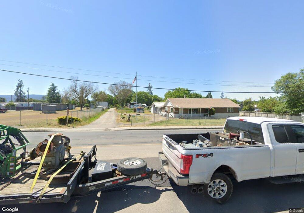
5349 Table Rock Rd Central Point, OR 97502
Estimated Value: $368,656 - $454,000
4
Beds
2
Baths
1,648
Sq Ft
$248/Sq Ft
Est. Value
About This Home
This home is located at 5349 Table Rock Rd, Central Point, OR 97502 and is currently estimated at $409,219, approximately $248 per square foot. 5349 Table Rock Rd is a home located in Jackson County with nearby schools including Jewett Elementary School, Scenic Middle School, and Crater High School.
Ownership History
Date
Name
Owned For
Owner Type
Purchase Details
Closed on
May 9, 2019
Sold by
Milton J & Delores I Hilkey Revocable Tr
Bought by
Hilkey Roland L and Hilkey Connie Fae
Current Estimated Value
Purchase Details
Closed on
Apr 29, 2014
Sold by
Hilkey Delores I
Bought by
Hilkey Delores I and Hilkey Roland L
Purchase Details
Closed on
May 8, 2013
Sold by
Hilkey Milton J and Hilkey Delores I
Bought by
Hilkey Milton J and Hilkey Delores I
Create a Home Valuation Report for This Property
The Home Valuation Report is an in-depth analysis detailing your home's value as well as a comparison with similar homes in the area
Purchase History
| Date | Buyer | Sale Price | Title Company |
|---|---|---|---|
| Hilkey Roland L | -- | None Available | |
| Hilkey Delores I | -- | None Available | |
| Hilkey Milton J | -- | None Available |
Source: Public Records
Tax History
| Year | Tax Paid | Tax Assessment Tax Assessment Total Assessment is a certain percentage of the fair market value that is determined by local assessors to be the total taxable value of land and additions on the property. | Land | Improvement |
|---|---|---|---|---|
| 2026 | $2,312 | $189,400 | -- | -- |
| 2025 | $2,259 | $183,890 | $94,080 | $89,810 |
| 2024 | $2,259 | $178,540 | $91,330 | $87,210 |
| 2023 | $2,184 | $173,340 | $88,670 | $84,670 |
| 2022 | $2,138 | $173,340 | $88,670 | $84,670 |
| 2021 | $2,077 | $168,300 | $86,090 | $82,210 |
| 2020 | $2,017 | $163,400 | $83,580 | $79,820 |
| 2019 | $1,970 | $154,030 | $78,780 | $75,250 |
| 2018 | $1,909 | $149,550 | $76,480 | $73,070 |
| 2017 | $1,864 | $149,550 | $76,480 | $73,070 |
| 2016 | $1,809 | $140,980 | $72,090 | $68,890 |
| 2015 | $1,726 | $140,980 | $72,090 | $68,890 |
| 2014 | $1,684 | $132,900 | $67,950 | $64,950 |
Source: Public Records
Map
Nearby Homes
- 225 Wilson Rd
- 2460 Jeremy St
- 2335 New Haven Dr
- 2311 Lara Ln
- 1617 Tennessee Ln
- 875 N Mountain Ave
- 1653 Kentucky Ct
- 4595 Table Rock Rd
- 446 Beebe Rd
- 4824 Airway Dr Unit 371W06BB410
- 1153 Annalise St
- 4399 Table Rock Rd
- 1121 Annalise St
- 1113 Annalise St
- 1109 Annalise St
- 4722 Gebhard Rd
- 368 Live Oak Loop
- 4676 Industry Dr
- 4404 Biddle Rd
- 4286 Hamrick Rd
- 5293 Table Rock Rd
- 5343 Table Rock Rd
- 0 Bateman Dr
- 10 Bateman Dr
- 5255 Table Rock Rd
- 5367 Table Rock Rd
- 5393 Table Rock Rd
- 0 Bateman & Table Rock Rd
- 5323 Table Rock Rd
- 5275 Table Rock Rd
- 0 Table Rock & Bateman Rd Unit 102715383
- 0 Table Rock & Bateman Rd Unit 102715789
- 0 Table Rock & Bateman Rd Unit 102919109
- 5371 Table Rock Rd
- 5347 Table Rock Rd
- 5240 Table Rock Rd
- 163 Bateman Dr
- 171 Bateman Dr
- 5203 Table Rock Rd
- 5202 Table Rock Rd
Your Personal Tour Guide
Ask me questions while you tour the home.