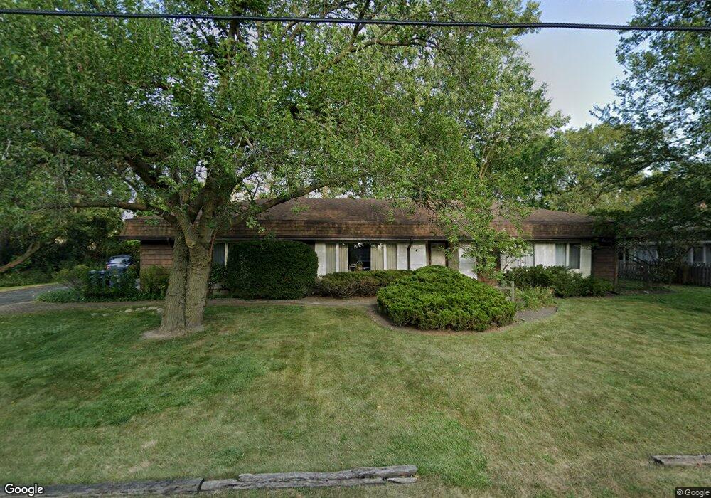
535 Elm St Deerfield, IL 60015
Estimated Value: $455,012 - $554,000
3
Beds
2
Baths
1,680
Sq Ft
$305/Sq Ft
Est. Value
About This Home
This home is located at 535 Elm St, Deerfield, IL 60015 and is currently estimated at $512,253, approximately $304 per square foot. 535 Elm St is a home located in Lake County with nearby schools including Kipling Elementary School, Alan B Shepard Middle School, and Deerfield High School.
Ownership History
Date
Name
Owned For
Owner Type
Purchase Details
Closed on
Sep 17, 2015
Sold by
Heinrich Roberta
Bought by
Heinrich Roberta and Roberta G Heinrich Trust
Current Estimated Value
Purchase Details
Closed on
Oct 11, 2005
Sold by
Johnson Nancy K and Johnson Richard D
Bought by
Johnson Richard D and Johnson Nancy K
Purchase Details
Closed on
Dec 18, 1995
Sold by
Johnson Richard D
Bought by
Johnson Nancy K
Create a Home Valuation Report for This Property
The Home Valuation Report is an in-depth analysis detailing your home's value as well as a comparison with similar homes in the area
Home Values in the Area
Average Home Value in this Area
Purchase History
| Date | Buyer | Sale Price | Title Company |
|---|---|---|---|
| Heinrich Roberta | -- | Attorney | |
| Johnson Richard D | -- | -- | |
| Johnson Nancy K | -- | Greater Illinois Title Compa |
Source: Public Records
Tax History
| Year | Tax Paid | Tax Assessment Tax Assessment Total Assessment is a certain percentage of the fair market value that is determined by local assessors to be the total taxable value of land and additions on the property. | Land | Improvement |
|---|---|---|---|---|
| 2024 | $3,682 | $106,191 | $37,606 | $68,585 |
| 2023 | $4,180 | $101,911 | $36,090 | $65,821 |
| 2022 | $4,180 | $117,844 | $38,764 | $79,080 |
| 2021 | $9,533 | $113,618 | $37,374 | $76,244 |
| 2020 | $3,930 | $113,857 | $37,453 | $76,404 |
| 2019 | $3,795 | $113,663 | $37,389 | $76,274 |
| 2018 | $3,699 | $101,944 | $39,629 | $62,315 |
| 2017 | $3,676 | $101,619 | $39,503 | $62,116 |
| 2016 | $3,720 | $97,776 | $38,009 | $59,767 |
| 2015 | $3,876 | $91,869 | $35,713 | $56,156 |
| 2014 | $3,968 | $112,553 | $40,464 | $72,089 |
| 2012 | $3,796 | $111,560 | $40,107 | $71,453 |
Source: Public Records
Map
Nearby Homes
- 501 Kelburn Rd
- 429 Elm St Unit 5J
- 421 Elm St Unit 6K
- 950 Brookside Ln
- 954 Osterman Ave
- 826 Chestnut St
- 834 Chestnut St
- 453 Longfellow Ave
- 521 Deerfield Rd
- 525 Mallard Ln
- 757 Kipling Place
- 435 Kingston Terrace
- 1030 Chestnut St
- 215 Waukegan Rd
- 1106 Waukegan Rd
- 707 Brierhill Rd
- 333 Birchwood Ave
- 1127 Kenton Rd
- 938 Hemlock St
- 1302 Hazel Ave
- 523 Elm St
- 517 Elm St
- 532 Elm St
- 520 Elm St
- 546 S Commons Ct Unit CT20100
- 548 S Commons Ct Unit 201-002
- 550 S Commons Ct
- 550 S Commons Ct Unit 490
- 550 S Commons Ct Unit 550
- 544 S Commons Ct Unit 201-004
- 540 S Commons Ct
- 540 S Commons Ct Unit 540
- 540 S Commons Ct Unit S
- 542 S Commons Ct Unit 201-005
- 542 S Commons Ct Unit S
- 513 Elm St
- 530 S Commons Ct Unit S
- 528 S Commons Ct Unit S
- 542 Elm St
- 526 S Commons Ct Unit S
Your Personal Tour Guide
Ask me questions while you tour the home.