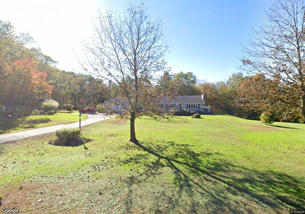
535 Hill Rd Harwinton, CT 06791
Estimated Value: $421,612 - $692,000
4
Beds
3
Baths
1,440
Sq Ft
$374/Sq Ft
Est. Value
About This Home
This home is located at 535 Hill Rd, Harwinton, CT 06791 and is currently estimated at $538,871, approximately $374 per square foot. 535 Hill Rd is a home located in Litchfield County with nearby schools including Harwinton Consolidated School, Har-Bur Middle School, and Lewis S. Mills High School.
Ownership History
Date
Name
Owned For
Owner Type
Purchase Details
Closed on
Nov 6, 2017
Sold by
Schnyer Nancy S
Bought by
Johnson Ralph A and Johnson Corinne M
Current Estimated Value
Purchase Details
Closed on
Jul 1, 1986
Bought by
Schnyer Nancy L
Create a Home Valuation Report for This Property
The Home Valuation Report is an in-depth analysis detailing your home's value as well as a comparison with similar homes in the area
Home Values in the Area
Average Home Value in this Area
Purchase History
| Date | Buyer | Sale Price | Title Company |
|---|---|---|---|
| Johnson Ralph A | $276 | -- | |
| Johnson Ralph A | $13,800 | -- | |
| Johnson Ralph A | $276 | -- | |
| Schnyer Nancy L | -- | -- |
Source: Public Records
Mortgage History
| Date | Status | Borrower | Loan Amount |
|---|---|---|---|
| Previous Owner | Schnyer Nancy L | $140,000 | |
| Previous Owner | Schnyer Nancy L | $160,000 |
Source: Public Records
Tax History Compared to Growth
Tax History
| Year | Tax Paid | Tax Assessment Tax Assessment Total Assessment is a certain percentage of the fair market value that is determined by local assessors to be the total taxable value of land and additions on the property. | Land | Improvement |
|---|---|---|---|---|
| 2025 | $5,552 | $241,370 | $83,010 | $158,360 |
| 2024 | $5,527 | $241,370 | $83,010 | $158,360 |
| 2023 | $4,226 | $144,710 | $60,030 | $84,680 |
| 2022 | $4,124 | $144,710 | $60,030 | $84,680 |
| 2021 | $4,153 | $144,710 | $60,030 | $84,680 |
| 2020 | $4,052 | $144,710 | $60,030 | $84,680 |
| 2019 | $4,052 | $144,710 | $60,030 | $84,680 |
| 2018 | $4,480 | $160,010 | $75,980 | $84,030 |
| 2017 | $4,448 | $160,010 | $75,980 | $84,030 |
| 2016 | $4,448 | $160,010 | $75,980 | $84,030 |
| 2015 | $4,368 | $160,010 | $75,980 | $84,030 |
| 2014 | $4,304 | $160,010 | $75,980 | $84,030 |
Source: Public Records
Map
Nearby Homes
- 530 Wildcat Hill Rd
- 604 Wildcat Hill Rd
- 0 Campville Hill Rd
- 165 Campville Rd
- 9 Steeple Chase Rd
- 183 Wildcat Hill Rd
- 12 Break Maiden Ln
- 83 Shingle Mill Rd
- 0 Reder Rd Unit 24133780
- Lot 2 Birch Hill Rd
- 25 Plymouth Rd
- 760 Plymouth Rd
- 28 Lily Pond Rd
- 94 Atwood Heights
- 448 Litchfield Rd
- 39 Orchard Hill Rd
- 21 South Rd
- 544 Litchfield Rd
- 362 Hill Rd
- 718 Northfield Rd