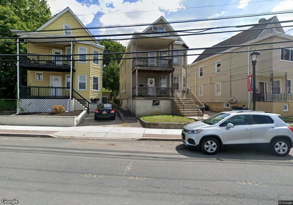
535 Mcbride Ave Woodland Park, NJ 07424
Estimated Value: $521,550 - $659,000
--
Bed
--
Bath
2,171
Sq Ft
$271/Sq Ft
Est. Value
About This Home
This home is located at 535 Mcbride Ave, Woodland Park, NJ 07424 and is currently estimated at $587,638, approximately $270 per square foot. 535 Mcbride Ave is a home located in Passaic County with nearby schools including Charles Olbon School, Beatrice Gilmore Elementary School, and Memorial Middle School.
Ownership History
Date
Name
Owned For
Owner Type
Purchase Details
Closed on
May 8, 1998
Sold by
Delucca Louis J and Delucca Judith A
Bought by
Delucca Louis
Current Estimated Value
Home Financials for this Owner
Home Financials are based on the most recent Mortgage that was taken out on this home.
Original Mortgage
$84,305
Outstanding Balance
$16,444
Interest Rate
7.08%
Mortgage Type
FHA
Estimated Equity
$571,194
Create a Home Valuation Report for This Property
The Home Valuation Report is an in-depth analysis detailing your home's value as well as a comparison with similar homes in the area
Home Values in the Area
Average Home Value in this Area
Purchase History
| Date | Buyer | Sale Price | Title Company |
|---|---|---|---|
| Delucca Louis | $130,000 | -- | |
| Colon Charly | $85,000 | Fidelity National Title |
Source: Public Records
Mortgage History
| Date | Status | Borrower | Loan Amount |
|---|---|---|---|
| Open | Colon Charly | $84,305 | |
| Open | Delucca Louis | $128,221 |
Source: Public Records
Tax History Compared to Growth
Tax History
| Year | Tax Paid | Tax Assessment Tax Assessment Total Assessment is a certain percentage of the fair market value that is determined by local assessors to be the total taxable value of land and additions on the property. | Land | Improvement |
|---|---|---|---|---|
| 2025 | $8,270 | $247,100 | $86,600 | $160,500 |
| 2024 | $8,112 | $247,100 | $86,600 | $160,500 |
| 2022 | $8,125 | $247,100 | $86,600 | $160,500 |
| 2021 | $8,018 | $247,100 | $86,600 | $160,500 |
| 2020 | $7,873 | $247,100 | $86,600 | $160,500 |
| 2019 | $7,697 | $247,100 | $86,600 | $160,500 |
| 2018 | $7,811 | $247,100 | $86,600 | $160,500 |
| 2017 | $7,608 | $247,100 | $86,600 | $160,500 |
| 2016 | $7,487 | $247,100 | $86,600 | $160,500 |
| 2015 | $7,324 | $247,100 | $86,600 | $160,500 |
| 2014 | $7,885 | $291,700 | $102,700 | $189,000 |
Source: Public Records
Map
Nearby Homes
- 512 Mcbride Ave
- 74 Marcellus Ave
- 25 Newby Ave
- 63 Glover Ave Unit 65
- 63-65 Glover Ave
- 66 Danforth Ave Unit 68
- 22 Mount Pleasant Ave
- 69 Newby Ave
- 19 Hillery St
- 449 Taft Ave
- 125 Webster Ave
- 190 Totowa Rd
- 86 Mount Pleasant Ave
- 109 Dixon Ave
- 112 Boyle Ave
- 60 Garden Ave
- 95-97 Caldwell Ave
- 115 Caldwell Ave
- 169 New St
- 539 Mcbride Ave
- 533 Mcbride Ave
- 541 Mcbride Ave
- 531 Mcbride Ave
- 10 Irving Place
- 14 Irving Place
- 18 Irving Place
- 534 Mcbride Ave
- 6 Irving Place
- 532 Mcbride Ave
- 6 Irving Place
- 4 Irving Place
- 536 Mcbride Ave
- 536 Mcbride Ave Unit 1
- 2 Irving Place
- 538 Mcbride Ave
- 565 Mcbride Ave
- 548 Mcbride Ave
- 540 Mcbride Ave
- 15 W 32nd St