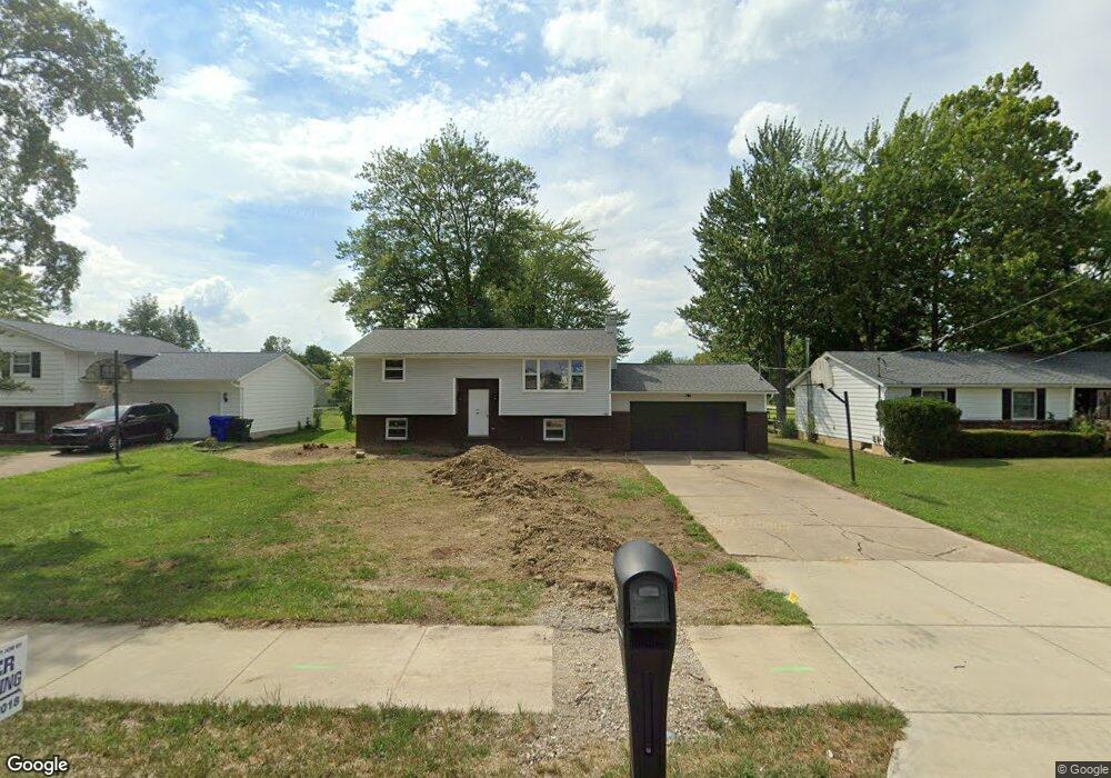
535 N Center St Lagrange, OH 44050
Estimated Value: $279,000 - $332,000
4
Beds
2
Baths
1,644
Sq Ft
$182/Sq Ft
Est. Value
About This Home
This home is located at 535 N Center St, Lagrange, OH 44050 and is currently estimated at $298,636, approximately $181 per square foot. 535 N Center St is a home located in Lorain County with nearby schools including Keystone Elementary School, Keystone Middle School, and Keystone High School.
Ownership History
Date
Name
Owned For
Owner Type
Purchase Details
Closed on
Jan 7, 2013
Sold by
Schmdit Linda and Simmons Carla
Bought by
Cales Brian
Current Estimated Value
Purchase Details
Closed on
Dec 19, 2012
Sold by
Estate Of Alton A Cales
Bought by
Schmidt Linda and Simmons Carla
Purchase Details
Closed on
Mar 23, 2001
Sold by
Estate Of Wilda Clara Cales
Bought by
Cales Alton and Cales Alton Aralando
Create a Home Valuation Report for This Property
The Home Valuation Report is an in-depth analysis detailing your home's value as well as a comparison with similar homes in the area
Home Values in the Area
Average Home Value in this Area
Purchase History
| Date | Buyer | Sale Price | Title Company |
|---|---|---|---|
| Cales Brian | -- | None Available | |
| Schmidt Linda | -- | None Available | |
| Cales Alton | -- | -- |
Source: Public Records
Tax History Compared to Growth
Tax History
| Year | Tax Paid | Tax Assessment Tax Assessment Total Assessment is a certain percentage of the fair market value that is determined by local assessors to be the total taxable value of land and additions on the property. | Land | Improvement |
|---|---|---|---|---|
| 2024 | $3,765 | $88,834 | $12,401 | $76,433 |
| 2023 | $2,217 | $43,687 | $10,770 | $32,918 |
| 2022 | $2,202 | $43,687 | $10,770 | $32,918 |
| 2021 | $2,203 | $43,687 | $10,770 | $32,918 |
| 2020 | $2,152 | $38,020 | $9,370 | $28,650 |
| 2019 | $2,140 | $38,020 | $9,370 | $28,650 |
| 2018 | $1,883 | $38,020 | $9,370 | $28,650 |
| 2017 | $2,151 | $37,080 | $7,790 | $29,290 |
| 2016 | $2,137 | $37,080 | $7,790 | $29,290 |
| 2015 | $2,184 | $37,080 | $7,790 | $29,290 |
| 2014 | $1,934 | $37,080 | $7,790 | $29,290 |
| 2013 | $1,826 | $37,080 | $7,790 | $29,290 |
Source: Public Records
Map
Nearby Homes
- 128 Harvest Ct
- 433 N Center St
- 516 Appomattox Ct
- 171 Keywood Blvd
- 548 William St
- 756 N Center St
- 607 Rundle St
- 40725 Biggs Rd
- 630 Rundle St
- 829 Robinson Dr
- 831 Robinson Dr
- 822 Robinson Dr
- 808 Buckingham Dr
- 800 Buckingham Dr
- 194 Railroad St
- 0 Dill Ct Unit 5072837
- 110 Railroad St
- 41635 Parsons Rd
- 40175 Banks Rd
- 40185 Banks Rd
- 533 N Center St
- 543 N Center St
- 529 N Center St
- 107 Loperwood Ln
- 150152 Harvest Ct
- 111 Loperwood Ln
- 122 Harvest Ct
- 122 Harvest Ct Unit 1
- 527 N Center St
- 124 Harvest Ct
- 115 Loperwood Ln
- 126 Harvest Ct
- 108 Loperwood Ln
- 0 Harvest Ct
- 525 N Center St
- 119 Loperwood Ln
- 112 Loperwood Ln
- 130 Harvest Ct
- 132 Harvest Ct
- 123 Loperwood Ln