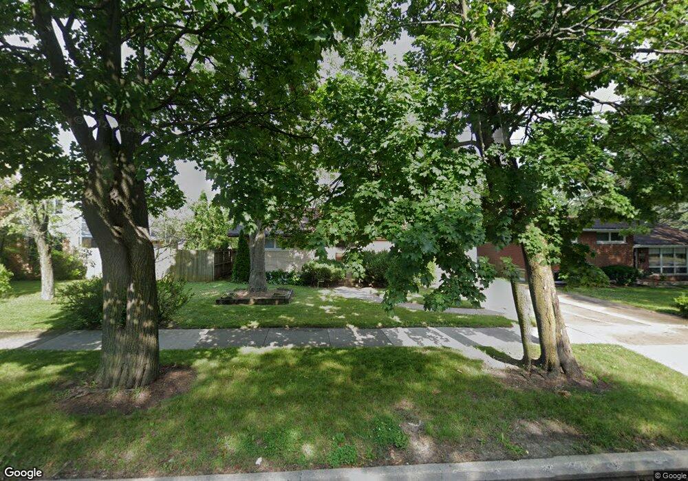
535 N Mcaree Rd Waukegan, IL 60085
West Waukegan NeighborhoodEstimated Value: $230,295 - $256,000
3
Beds
1
Bath
1,099
Sq Ft
$219/Sq Ft
Est. Value
About This Home
This home is located at 535 N Mcaree Rd, Waukegan, IL 60085 and is currently estimated at $240,324, approximately $218 per square foot. 535 N Mcaree Rd is a home located in Lake County with nearby schools including Whittier Elementary School, Robert E. Abbott Middle School, and Waukegan High School.
Ownership History
Date
Name
Owned For
Owner Type
Purchase Details
Closed on
Sep 27, 2024
Sold by
Zanco Michael L
Bought by
Michael L Zanco Trust and Zanco
Current Estimated Value
Purchase Details
Closed on
Dec 2, 2015
Sold by
Zanco Manley L and Zanco Margaret J
Bought by
Zanco Margaret J and The Margaret J Zanco Living Tr
Create a Home Valuation Report for This Property
The Home Valuation Report is an in-depth analysis detailing your home's value as well as a comparison with similar homes in the area
Home Values in the Area
Average Home Value in this Area
Purchase History
| Date | Buyer | Sale Price | Title Company |
|---|---|---|---|
| Michael L Zanco Trust | -- | None Listed On Document | |
| Zanco Michael L | -- | None Listed On Document | |
| Michael L Zanco Trust | -- | None Listed On Document | |
| Zanco Michael L | -- | None Listed On Document | |
| Zanco Margaret J | -- | Attorney |
Source: Public Records
Tax History Compared to Growth
Tax History
| Year | Tax Paid | Tax Assessment Tax Assessment Total Assessment is a certain percentage of the fair market value that is determined by local assessors to be the total taxable value of land and additions on the property. | Land | Improvement |
|---|---|---|---|---|
| 2024 | $3,940 | $64,545 | $13,628 | $50,917 |
| 2023 | $4,050 | $57,787 | $12,201 | $45,586 |
| 2022 | $4,050 | $52,432 | $9,862 | $42,570 |
| 2021 | $3,886 | $48,273 | $9,124 | $39,149 |
| 2020 | $3,851 | $44,972 | $8,500 | $36,472 |
| 2019 | $3,779 | $41,210 | $7,789 | $33,421 |
| 2018 | $3,251 | $36,842 | $10,022 | $26,820 |
| 2017 | $3,072 | $32,595 | $8,867 | $23,728 |
| 2016 | $2,677 | $28,324 | $7,705 | $20,619 |
| 2015 | $2,424 | $25,350 | $6,896 | $18,454 |
| 2014 | $2,250 | $23,455 | $7,284 | $16,171 |
| 2012 | $3,349 | $25,410 | $7,891 | $17,519 |
Source: Public Records
Map
Nearby Homes
- 0 Brookside Ave
- 615 Tiffany Dr
- 2115 Lydia St
- 1213 Grand Ave
- 24 Washington Terrace
- 102 Baldwin Ave
- 621 N Austin Ave
- 1005 N Lewis Ave
- 34887 N Austin Ave
- 603 N Austin Ave
- 1023 N Elmwood Ave
- 132 Dorchester Ct
- 12698 W Grandview Ave
- 2813 Theresa Ave
- 12716 W Grandview Ave
- 3170 W Monroe St Unit 309
- 1038 Indiana Ave
- 968 Judge Ave
- 49 S Lewis Ave
- 824 N Butrick St
- 531 N Mcaree Rd
- 2505 University Ave
- 527 N Mcaree Rd
- 536 Flossmoor Ave
- 2415 University Ave
- 532 Flossmoor Ave
- 523 N Mcaree Rd
- 528 Flossmoor Ave
- 532 N Mcaree Rd
- 536 N Mcaree Rd
- 2500 University Ave
- 2504 University Ave
- 528 N Mcaree Rd
- 600 N Mcaree Rd
- 2420 University Ave
- 521 N Mcaree Rd
- 524 Flossmoor Ave
- 524 N Mcaree Rd
- 604 N Mcaree Rd
- 2416 University Ave