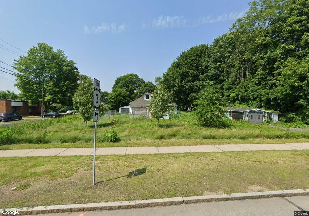
535 Pawtucket Blvd Lowell, MA 01854
Pawtucketville NeighborhoodEstimated Value: $423,000 - $566,000
2
Beds
1
Bath
977
Sq Ft
$506/Sq Ft
Est. Value
About This Home
This home is located at 535 Pawtucket Blvd, Lowell, MA 01854 and is currently estimated at $494,426, approximately $506 per square foot. 535 Pawtucket Blvd is a home located in Middlesex County with nearby schools including Joseph McAvinnue Elementary School, Charles W. Morey Elementary School, and Dr. Gertrude Bailey Elementary School.
Ownership History
Date
Name
Owned For
Owner Type
Purchase Details
Closed on
Dec 9, 2021
Sold by
Chou & Tao Rt and Huynh
Bought by
Huynh Properties Llc
Current Estimated Value
Purchase Details
Closed on
Jun 22, 1981
Bought by
Lambert George A
Create a Home Valuation Report for This Property
The Home Valuation Report is an in-depth analysis detailing your home's value as well as a comparison with similar homes in the area
Home Values in the Area
Average Home Value in this Area
Purchase History
| Date | Buyer | Sale Price | Title Company |
|---|---|---|---|
| Huynh Properties Llc | -- | None Available | |
| Huynh Properties Llc | -- | None Available | |
| Lambert George A | -- | -- |
Source: Public Records
Tax History Compared to Growth
Tax History
| Year | Tax Paid | Tax Assessment Tax Assessment Total Assessment is a certain percentage of the fair market value that is determined by local assessors to be the total taxable value of land and additions on the property. | Land | Improvement |
|---|---|---|---|---|
| 2025 | $5,401 | $470,500 | $221,300 | $249,200 |
| 2024 | $5,159 | $433,200 | $207,100 | $226,100 |
| 2023 | $4,762 | $383,400 | $180,400 | $203,000 |
| 2022 | $4,136 | $325,900 | $142,900 | $183,000 |
| 2021 | $4,004 | $297,500 | $124,700 | $172,800 |
| 2020 | $3,850 | $288,200 | $124,700 | $163,500 |
| 2019 | $3,618 | $257,700 | $112,200 | $145,500 |
| 2018 | $2,935 | $208,000 | $97,900 | $110,100 |
| 2017 | $2,908 | $194,900 | $91,800 | $103,100 |
| 2016 | $2,803 | $184,900 | $87,400 | $97,500 |
| 2015 | $2,625 | $169,600 | $85,600 | $84,000 |
| 2013 | $2,727 | $181,700 | $99,200 | $82,500 |
Source: Public Records
Map
Nearby Homes
- 527 Pawtucket Blvd Unit 304
- 311 Pawtucket Blvd Unit 9
- 307 Pawtucket Blvd Unit 13
- 4 Tamarack St
- 1975 Middlesex St Unit 51
- 1975 Middlesex St Unit 10
- 101 Laurie Ln
- 6 Louis Farm Rd Unit 6
- 3 Louis Farm Rd Unit 3
- 770 Princeton Blvd
- 24 Brouilette St Unit A
- 69 Coburn Dr
- 49 Coburn Dr
- 1311 Middlesex St
- 977 Westford St Unit 4
- 20 Sandy Ln
- 1280 Middlesex St
- 149 Woodward Ave
- 61 Florence Ave
- 102 Montgomery Ave
- 595 Pawtucket Blvd
- 595 Pawtucket Blvd Unit 1
- 595 Pawtucket Blvd Unit 4
- 595 Pawtucket Blvd Unit 4th
- 595 Pawtucket Blvd Unit 4th Floor
- 32 Lexington Ave
- 33 Melrose Ave
- 36 Melrose Ave
- 40 Lexington Ave
- 42 Melrose Ave
- 51 & 57 Shirley Ave
- 51-57 Shirley Ave
- 53 Melrose Ave
- 46 Lexington Ave
- 41 Shirley Ave
- 527 Pawtucket Blvd Unit varies
- 527 Pawtucket Blvd Unit 305B1
- 527 Pawtucket Blvd Unit 506
- 527 Pawtucket Blvd Unit 204
- 527 Pawtucket Blvd Unit 704