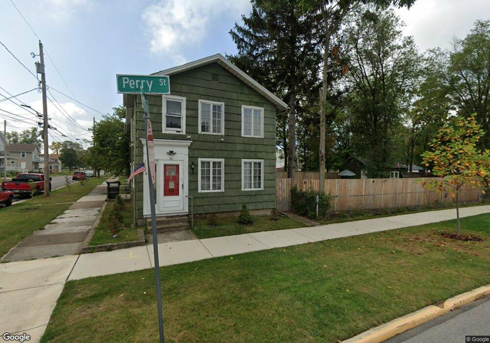
535 Perry St Sandusky, OH 44870
Estimated Value: $65,000 - $154,000
4
Beds
2
Baths
1,722
Sq Ft
$70/Sq Ft
Est. Value
About This Home
This home is located at 535 Perry St, Sandusky, OH 44870 and is currently estimated at $120,117, approximately $69 per square foot. 535 Perry St is a home located in Erie County with nearby schools including Sandusky High School, Monroe Preparatory Academy, and Sandusky Central Catholic School.
Ownership History
Date
Name
Owned For
Owner Type
Purchase Details
Closed on
Mar 19, 2010
Sold by
Cleveland Bricks Llc
Bought by
Fendyan James E
Current Estimated Value
Purchase Details
Closed on
Dec 2, 2009
Sold by
Secretary Of Housing & Urban Development
Bought by
Cleveland Bricks Llc
Purchase Details
Closed on
Nov 7, 2008
Sold by
Clark Carolyn and Clark Carolyn S
Bought by
The Huntington National Bank
Purchase Details
Closed on
May 30, 2003
Sold by
Sonntag Patricia and Chimera Kathleen N
Bought by
Clark Carolyn
Home Financials for this Owner
Home Financials are based on the most recent Mortgage that was taken out on this home.
Original Mortgage
$77,684
Interest Rate
5.88%
Mortgage Type
FHA
Create a Home Valuation Report for This Property
The Home Valuation Report is an in-depth analysis detailing your home's value as well as a comparison with similar homes in the area
Home Values in the Area
Average Home Value in this Area
Purchase History
| Date | Buyer | Sale Price | Title Company |
|---|---|---|---|
| Fendyan James E | $13,000 | None Available | |
| Cleveland Bricks Llc | $9,000 | Attorney | |
| The Huntington National Bank | $30,000 | Accomodation | |
| Clark Carolyn | $71,000 | Gateway Title Agency Inc |
Source: Public Records
Mortgage History
| Date | Status | Borrower | Loan Amount |
|---|---|---|---|
| Previous Owner | Clark Carolyn | $77,684 |
Source: Public Records
Tax History
| Year | Tax Paid | Tax Assessment Tax Assessment Total Assessment is a certain percentage of the fair market value that is determined by local assessors to be the total taxable value of land and additions on the property. | Land | Improvement |
|---|---|---|---|---|
| 2024 | $246 | $27,177 | $6,713 | $20,464 |
| 2023 | $673 | $23,610 | $5,267 | $18,343 |
| 2022 | $1,197 | $23,614 | $5,267 | $18,347 |
| 2021 | $1,208 | $23,620 | $5,270 | $18,350 |
| 2020 | $1,114 | $20,010 | $5,270 | $14,740 |
| 2019 | $1,145 | $20,010 | $5,270 | $14,740 |
| 2018 | $1,146 | $20,010 | $5,270 | $14,740 |
| 2017 | $966 | $16,810 | $6,850 | $9,960 |
| 2016 | $966 | $16,810 | $6,850 | $9,960 |
| 2015 | $875 | $16,810 | $6,850 | $9,960 |
| 2014 | $870 | $16,810 | $6,850 | $9,960 |
| 2013 | $861 | $16,810 | $6,850 | $9,960 |
Source: Public Records
Map
Nearby Homes
- 430 E Adams St
- 403 E Adams St
- 3 Curran St
- 4 Curran St
- 527 Hancock St
- 444 Hasting Dr
- 1002 Sycamore Line
- 1035 1st St
- 1034 Warren St
- 421 Scott St
- 0 Milan Rd Unit 3997231
- 0 Milan Rd Unit 3805445
- 0 Milan Rd Unit 20182198
- 1003 5th St
- 221 Scott St
- 801 Hayes Ave
- 1117 Ogontz St
- 1131 5th St
- 1031 Columbus Ave
- 1035 Campbell St
Your Personal Tour Guide
Ask me questions while you tour the home.