535 Rugby Ct Purcellville, VA 20132
Estimated Value: $835,939 - $916,000
--
Bed
4
Baths
2,837
Sq Ft
$309/Sq Ft
Est. Value
About This Home
This home is located at 535 Rugby Ct, Purcellville, VA 20132 and is currently estimated at $876,985, approximately $309 per square foot. 535 Rugby Ct is a home located in Loudoun County with nearby schools including Emerick Elementary School, Blue Ridge Middle School, and Loudoun Valley High School.
Ownership History
Date
Name
Owned For
Owner Type
Purchase Details
Closed on
Mar 3, 2003
Sold by
Washington Hms Inc Of V A
Bought by
Magoffin Michael
Current Estimated Value
Home Financials for this Owner
Home Financials are based on the most recent Mortgage that was taken out on this home.
Original Mortgage
$280,000
Outstanding Balance
$121,250
Interest Rate
5.98%
Mortgage Type
New Conventional
Estimated Equity
$755,735
Create a Home Valuation Report for This Property
The Home Valuation Report is an in-depth analysis detailing your home's value as well as a comparison with similar homes in the area
Home Values in the Area
Average Home Value in this Area
Purchase History
| Date | Buyer | Sale Price | Title Company |
|---|---|---|---|
| Magoffin Michael | $388,312 | -- |
Source: Public Records
Mortgage History
| Date | Status | Borrower | Loan Amount |
|---|---|---|---|
| Open | Magoffin Michael | $280,000 |
Source: Public Records
Tax History Compared to Growth
Tax History
| Year | Tax Paid | Tax Assessment Tax Assessment Total Assessment is a certain percentage of the fair market value that is determined by local assessors to be the total taxable value of land and additions on the property. | Land | Improvement |
|---|---|---|---|---|
| 2025 | $6,872 | $823,050 | $224,500 | $598,550 |
| 2024 | $6,852 | $765,630 | $224,500 | $541,130 |
| 2023 | $6,422 | $709,560 | $224,500 | $485,060 |
| 2022 | $7,400 | $654,860 | $187,400 | $467,460 |
| 2021 | $6,074 | $619,780 | $167,400 | $452,380 |
| 2020 | $5,797 | $560,060 | $147,400 | $412,660 |
| 2019 | $5,480 | $524,370 | $127,400 | $396,970 |
| 2018 | $5,591 | $515,260 | $127,400 | $387,860 |
| 2017 | $5,731 | $509,380 | $127,400 | $381,980 |
| 2016 | $5,671 | $495,300 | $0 | $0 |
| 2015 | $5,382 | $346,810 | $0 | $346,810 |
| 2014 | $5,234 | $325,740 | $0 | $325,740 |
Source: Public Records
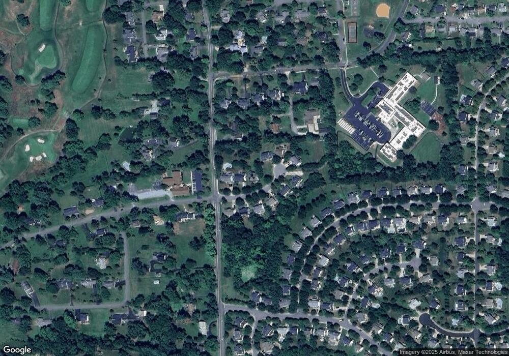
Map
Nearby Homes
- 221 S 32nd St
- 309 Bill Brower Ct
- 250 W Main St
- 420 S 20th St
- 109 Amalfi Ct
- 116 Desales Dr
- 230 N Brewster Ln
- 37517 Bernardini Ct
- 3 Springbury Dr
- The Ashton I Plan at Valley Springs Estates
- The Ashton II Plan at Valley Springs Estates
- The Oakhall Plan at Valley Springs Estates
- The Elmsgate Plan at Valley Springs Estates
- 648 Elliot Dr
- 401 E Loudoun Valley Dr
- 221 S Maple Ave
- 609 S Maple Ave
- 14649 Fordson Ct
- 14691 Fordson Ct
- 14629 Fordson Ct
- 539 Rugby Ct
- 531 Rugby Ct
- 543 Rugby Ct
- 528 Rugby Ct
- 532 Rugby Ct
- 430 S 32nd St
- 520 Rugby Ct
- 536 Rugby Ct
- 540 Rugby Ct
- 524 Rugby Ct
- 530 S Nursery Ave
- 544 Rugby Ct
- 560 S Nursery Ave
- 520 S Nursery Ave
- 550 S Nursery Ave
- 341 Locust Grove Dr
- 570 S Nursery Ave
- 345 Locust Grove Dr
- 37018 Glendale St
- 337 Locust Grove Dr