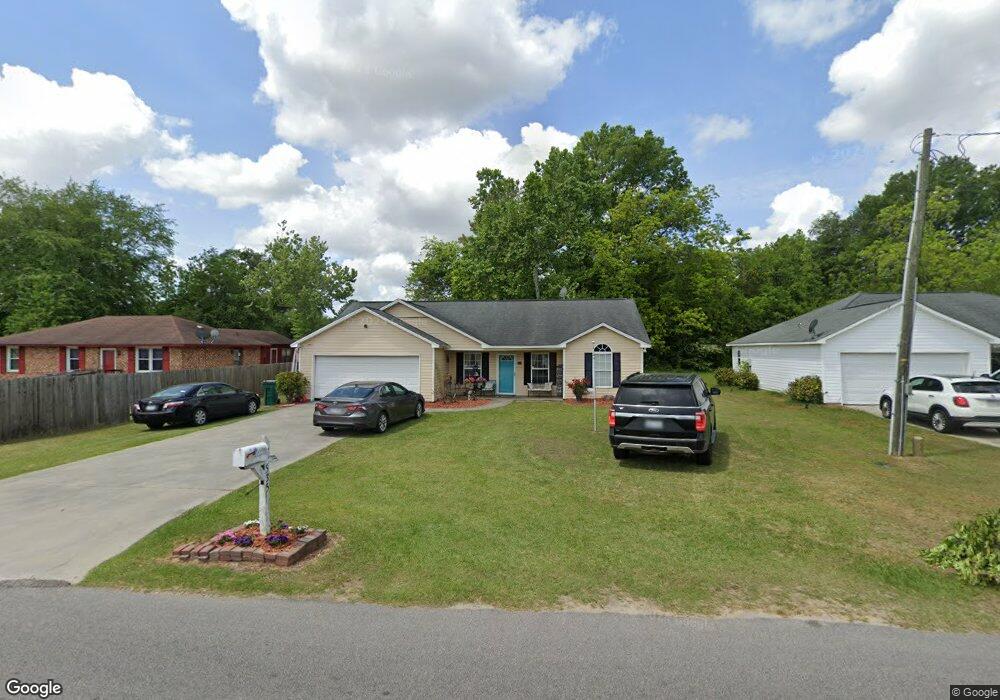
535 S Boundary St Manning, SC 29102
Estimated Value: $146,000 - $172,000
3
Beds
2
Baths
1,250
Sq Ft
$128/Sq Ft
Est. Value
About This Home
This home is located at 535 S Boundary St, Manning, SC 29102 and is currently estimated at $159,835, approximately $127 per square foot. 535 S Boundary St is a home located in Clarendon County with nearby schools including Manning Early Childhood Center, Manning Primary School, and Manning Elementary School.
Ownership History
Date
Name
Owned For
Owner Type
Purchase Details
Closed on
May 26, 2010
Sold by
Hodge Cecil
Bought by
Lyons Dennis Ray
Current Estimated Value
Home Financials for this Owner
Home Financials are based on the most recent Mortgage that was taken out on this home.
Original Mortgage
$105,578
Outstanding Balance
$71,724
Interest Rate
5.25%
Mortgage Type
FHA
Estimated Equity
$88,111
Purchase Details
Closed on
Jan 9, 2007
Sold by
Simpkins Darlene M
Bought by
Hodge Cecil
Create a Home Valuation Report for This Property
The Home Valuation Report is an in-depth analysis detailing your home's value as well as a comparison with similar homes in the area
Home Values in the Area
Average Home Value in this Area
Purchase History
| Date | Buyer | Sale Price | Title Company |
|---|---|---|---|
| Lyons Dennis Ray | $107,000 | None Available | |
| Hodge Cecil | $10,500 | None Available |
Source: Public Records
Mortgage History
| Date | Status | Borrower | Loan Amount |
|---|---|---|---|
| Open | Lyons Dennis Ray | $105,578 |
Source: Public Records
Tax History Compared to Growth
Tax History
| Year | Tax Paid | Tax Assessment Tax Assessment Total Assessment is a certain percentage of the fair market value that is determined by local assessors to be the total taxable value of land and additions on the property. | Land | Improvement |
|---|---|---|---|---|
| 2024 | $1,317 | $4,276 | $360 | $3,916 |
| 2023 | $1,263 | $4,276 | $360 | $3,916 |
| 2022 | $1,251 | $4,276 | $360 | $3,916 |
| 2021 | $1,126 | $3,824 | $360 | $3,464 |
| 2020 | $1,126 | $3,824 | $0 | $0 |
| 2019 | $1,075 | $3,824 | $0 | $0 |
| 2018 | $1,049 | $3,824 | $0 | $0 |
| 2017 | $1,036 | $3,824 | $0 | $0 |
| 2016 | $1,034 | $3,824 | $0 | $0 |
| 2015 | $975 | $3,796 | $360 | $3,436 |
| 2014 | $977 | $3,796 | $360 | $3,436 |
| 2013 | -- | $3,796 | $360 | $3,436 |
Source: Public Records
Map
Nearby Homes
- TBD S Carolina 260
- 404 S Church St
- 1026 Jamie Ct
- 408 Toccoa Dr
- 412 Briarcliff St
- 218 Breedin St
- 0000 Sylvan Dr
- 220 Packard Ln
- 617 Pickwood Dr
- 200 W Boyce St
- 5301 Cypress Pointe #D301
- 1112 Blue Heron Pointe
- W Huggins St
- 111 Richard St
- 205 E Boyce St
- 40 W Rigby St
- 1868 Haseldon Dr
- 1682 Heritage Dr
- 209 Peterson Ln
- 633 Sykes St
- 533 S Boundary St
- 539 S Boundary St
- 529 S Mill St
- 529 S Boundary St
- 541 S Boundary St
- 530 S Boundary St
- 528 S Boundary St
- 545 S Boundary St
- 526 Furling Ave
- 534 Furling Ave
- 524 Furling Ave
- 538 Furling Ave
- 208 Fuller St
- 527 S Mill St
- 543 S Mill St
- 533 Furling Ave
- 535 Furling Ave
- 108 Gibbons St
- 519 S Mill St
- 605 Robson St