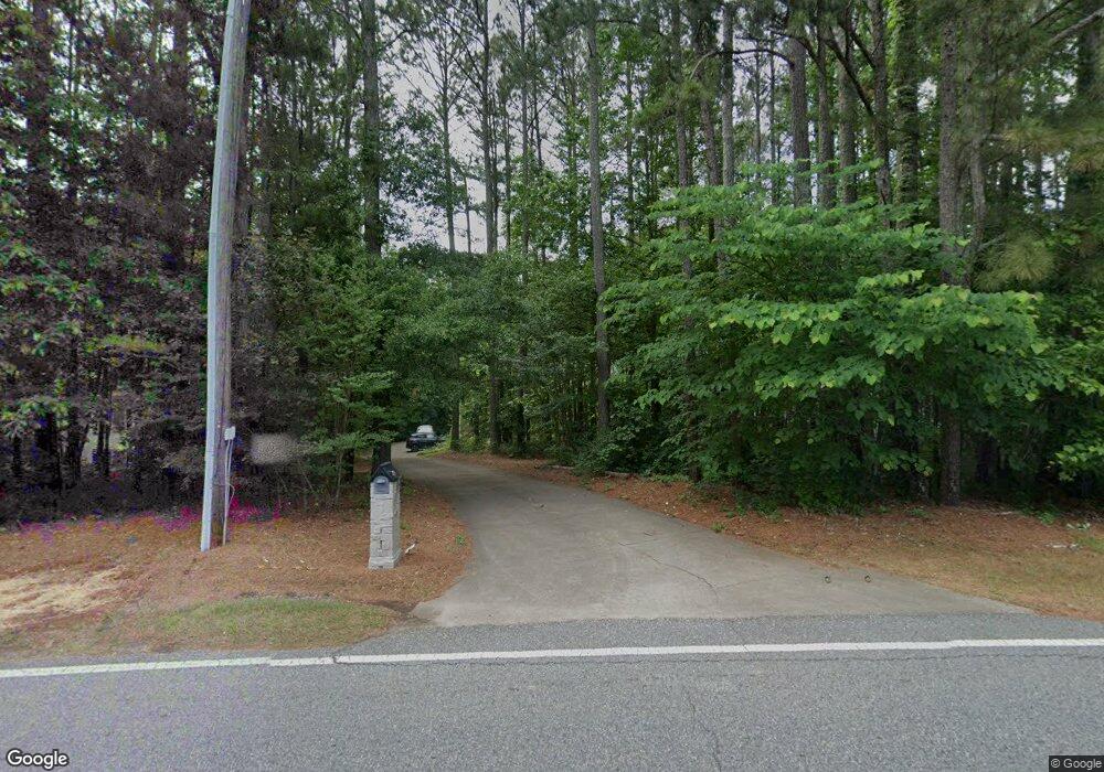
535 Scott Rd Canton, GA 30115
Union Hill NeighborhoodEstimated Value: $375,000 - $492,000
3
Beds
2
Baths
1,467
Sq Ft
$283/Sq Ft
Est. Value
About This Home
This home is located at 535 Scott Rd, Canton, GA 30115 and is currently estimated at $414,608, approximately $282 per square foot. 535 Scott Rd is a home located in Cherokee County with nearby schools including Indian Knoll Elementary School, Rusk Middle School, and Sequoyah High School.
Ownership History
Date
Name
Owned For
Owner Type
Purchase Details
Closed on
Nov 25, 1997
Sold by
Southern Homestead Builders Inc
Bought by
Torrell Susan K
Current Estimated Value
Home Financials for this Owner
Home Financials are based on the most recent Mortgage that was taken out on this home.
Original Mortgage
$123,000
Outstanding Balance
$19,295
Interest Rate
7.18%
Mortgage Type
New Conventional
Estimated Equity
$395,313
Create a Home Valuation Report for This Property
The Home Valuation Report is an in-depth analysis detailing your home's value as well as a comparison with similar homes in the area
Home Values in the Area
Average Home Value in this Area
Purchase History
| Date | Buyer | Sale Price | Title Company |
|---|---|---|---|
| Torrell Susan K | $129,900 | -- |
Source: Public Records
Mortgage History
| Date | Status | Borrower | Loan Amount |
|---|---|---|---|
| Open | Torrell Susan K | $123,000 |
Source: Public Records
Tax History
| Year | Tax Paid | Tax Assessment Tax Assessment Total Assessment is a certain percentage of the fair market value that is determined by local assessors to be the total taxable value of land and additions on the property. | Land | Improvement |
|---|---|---|---|---|
| 2025 | $694 | $148,600 | $43,920 | $104,680 |
| 2024 | $670 | $135,080 | $35,440 | $99,640 |
| 2023 | $487 | $120,600 | $28,600 | $92,000 |
| 2022 | $597 | $102,240 | $27,440 | $74,800 |
| 2021 | $582 | $84,520 | $22,880 | $61,640 |
| 2020 | $557 | $77,240 | $22,880 | $54,360 |
| 2019 | $535 | $71,360 | $22,880 | $48,480 |
| 2018 | $535 | $68,840 | $22,880 | $45,960 |
| 2017 | $536 | $164,400 | $19,200 | $46,560 |
| 2016 | $528 | $148,600 | $16,280 | $43,160 |
| 2015 | $516 | $140,600 | $15,720 | $40,520 |
| 2014 | $494 | $130,700 | $12,800 | $39,480 |
Source: Public Records
Map
Nearby Homes
- 2790 Hickory Flat Hwy
- 160 Scott Rd
- 2939 Hickory Flat Hwy
- 667 B Avery Rd
- 1021 Avery Rd
- 253 Newt Fowler Ln
- 0 Avery Rd Unit 10456365
- 0 Avery Rd Unit 7520681
- 240 Rose Ridge Dr
- 2916 Hickory Flat Hwy
- 205 Sweetbriar Ln
- 365 Russell King Ln
- 1200 Tom Hulsey Dr
- 3581 Hickory Flat Hwy
- 3583 Hickory Flat Hwy
- 1248 Avery Rd
- The Whitmore Plan at Legacy Downs
- The Sterling Plan at Legacy Downs
- 3548 Cherokee Overlook Dr
- 432 Edgewater Chase
