Estimated Value: $304,000 - $332,000
3
Beds
2
Baths
1,432
Sq Ft
$224/Sq Ft
Est. Value
About This Home
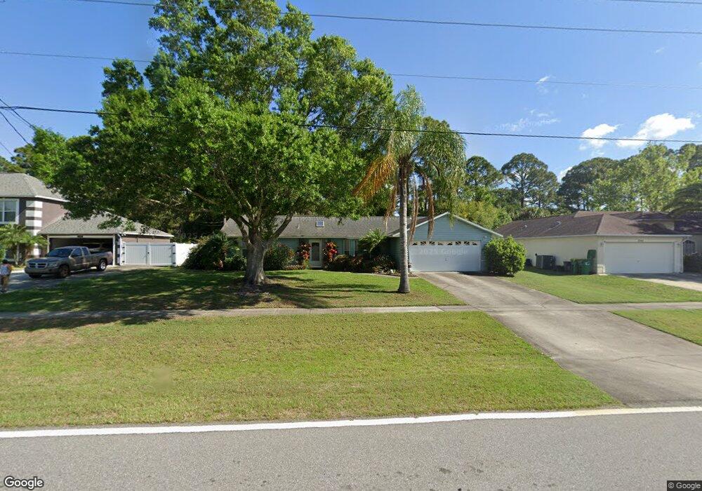
This home is located at 5350 Falcon Blvd, Cocoa, FL 32927 and is currently estimated at $321,336, approximately $224 per square foot. 5350 Falcon Blvd is a home located in Brevard County with nearby schools including Enterprise Elementary School, Space Coast Junior/Senior High School, and Sculptor Charter School.
Ownership History
Date
Name
Owned For
Owner Type
Purchase Details
Closed on
Mar 31, 1994
Sold by
Peeples James W
Bought by
Spurling Monica Louise
Current Estimated Value
Home Financials for this Owner
Home Financials are based on the most recent Mortgage that was taken out on this home.
Original Mortgage
$66,150
Interest Rate
7.1%
Purchase Details
Closed on
Dec 24, 1993
Sold by
Jim Crosby Homes Inc
Bought by
Peeples James W
Create a Home Valuation Report for This Property
The Home Valuation Report is an in-depth analysis detailing your home's value as well as a comparison with similar homes in the area
Home Values in the Area
Average Home Value in this Area
Purchase History
| Date | Buyer | Sale Price | Title Company |
|---|---|---|---|
| Spurling Monica Louise | $73,500 | -- | |
| Peeples James W | -- | -- |
Source: Public Records
Mortgage History
| Date | Status | Borrower | Loan Amount |
|---|---|---|---|
| Closed | Spurling Monica Louise | $66,150 |
Source: Public Records
Tax History
| Year | Tax Paid | Tax Assessment Tax Assessment Total Assessment is a certain percentage of the fair market value that is determined by local assessors to be the total taxable value of land and additions on the property. | Land | Improvement |
|---|---|---|---|---|
| 2025 | $1,417 | $103,220 | -- | -- |
| 2024 | $1,380 | $100,320 | -- | -- |
| 2023 | $1,380 | $97,400 | $0 | $0 |
| 2022 | $1,286 | $94,570 | $0 | $0 |
| 2021 | $1,282 | $91,820 | $0 | $0 |
| 2020 | $1,219 | $90,560 | $0 | $0 |
| 2019 | $1,154 | $88,530 | $0 | $0 |
| 2018 | $1,146 | $86,880 | $0 | $0 |
| 2017 | $1,137 | $85,100 | $0 | $0 |
| 2016 | $1,136 | $83,350 | $18,000 | $65,350 |
| 2015 | $1,147 | $82,780 | $15,000 | $67,780 |
| 2014 | $1,147 | $82,130 | $11,000 | $71,130 |
Source: Public Records
Map
Nearby Homes
- 6990 Bryant Rd
- 5165 Patricia St
- 7230 Venus Ave
- 5155 Mayflower St
- 7065 Hundred Acre Dr
- 5080 Mayflower St
- 7635 Fringe Place
- 5200 Frisco St
- 5150 Melody St
- 7606 Fringe Place
- 5075 Carter St
- 5555 Brandon St
- 6815 Bryant Rd
- 7155 Export Ave
- 7200 Oakwood Ave
- 7045 Grissom Pkwy
- 6760 Cairo Rd
- 7419 Hackberry Rd
- 7245 Grissom Pkwy
- 7429 Hackberry Rd
- 5360 Falcon Blvd
- 5340 Falcon Blvd
- 5370 Falcon Blvd
- 5330 Falcon Blvd
- 7075 Bryant Rd
- 5365 Falcon Blvd
- 5320 Falcon Blvd
- 5320 S Falcon
- 7145 Kaylor Ave
- 5285 Andover St
- 5325 Falcon Blvd
- 7060 Bryant Rd
- 7055 Bryant Rd
- 7095 Kaylor Ave
- 7155 Kaylor Ave
- 7085 Kaylor Ave
- 7165 Kaylor Ave
- 7050 Cairo Rd
- 5310 Falcon Blvd
- 7150 Kaylor Ave
Your Personal Tour Guide
Ask me questions while you tour the home.