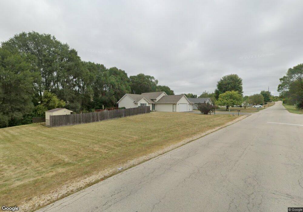
5350 Hart Rd Loves Park, IL 61111
Estimated Value: $271,000 - $281,000
3
Beds
3
Baths
2,090
Sq Ft
$133/Sq Ft
Est. Value
About This Home
This home is located at 5350 Hart Rd, Loves Park, IL 61111 and is currently estimated at $277,202, approximately $132 per square foot. 5350 Hart Rd is a home located in Winnebago County with nearby schools including Rock Cut Elementary School, Harlem Middle School, and Harlem High School.
Ownership History
Date
Name
Owned For
Owner Type
Purchase Details
Closed on
Mar 9, 2023
Sold by
Gutzmer Lenwood L and Gutzmer Norma J
Bought by
Allen Zachary and Scarpetta-Allen Wilhelmina
Current Estimated Value
Home Financials for this Owner
Home Financials are based on the most recent Mortgage that was taken out on this home.
Original Mortgage
$194,750
Outstanding Balance
$189,657
Interest Rate
7.13%
Mortgage Type
New Conventional
Estimated Equity
$87,545
Purchase Details
Closed on
Apr 17, 1996
Bought by
Gutzmer Lenwood L and Gutzmer Norma J
Create a Home Valuation Report for This Property
The Home Valuation Report is an in-depth analysis detailing your home's value as well as a comparison with similar homes in the area
Home Values in the Area
Average Home Value in this Area
Purchase History
| Date | Buyer | Sale Price | Title Company |
|---|---|---|---|
| Allen Zachary | $205,000 | -- | |
| Gutzmer Lenwood L | $122,900 | -- |
Source: Public Records
Mortgage History
| Date | Status | Borrower | Loan Amount |
|---|---|---|---|
| Open | Allen Zachary | $194,750 |
Source: Public Records
Tax History Compared to Growth
Tax History
| Year | Tax Paid | Tax Assessment Tax Assessment Total Assessment is a certain percentage of the fair market value that is determined by local assessors to be the total taxable value of land and additions on the property. | Land | Improvement |
|---|---|---|---|---|
| 2024 | $5,896 | $77,292 | $12,161 | $65,131 |
| 2023 | $3,327 | $68,643 | $10,800 | $57,843 |
| 2022 | $3,619 | $62,607 | $9,850 | $52,757 |
| 2021 | $3,708 | $58,228 | $9,161 | $49,067 |
| 2020 | $3,606 | $55,465 | $8,726 | $46,739 |
| 2019 | $3,883 | $53,127 | $8,358 | $44,769 |
| 2018 | $4,576 | $51,385 | $8,084 | $43,301 |
| 2017 | $4,596 | $49,975 | $7,862 | $42,113 |
| 2016 | $4,517 | $48,981 | $7,706 | $41,275 |
| 2015 | $4,469 | $48,124 | $7,571 | $40,553 |
| 2014 | $4,393 | $48,124 | $7,571 | $40,553 |
Source: Public Records
Map
Nearby Homes
- 6436 Reanna Way
- 6660 Louden Dr
- 6401 Currant Ct
- 6007 Basin Dr
- 8913 Alpha Dr
- 4625 Comet Dr
- 2099 Charnwood Ct
- 5743 Jackie's Dr
- 1308 van Stone Dr
- 5132 Pebble Ln
- 6316 Lanterne Dr Unit 12C
- 8740 Tim Ln
- 5331 Quartz Dr
- 5874 Beechwood Dr Unit B
- 5874 Beechwood Dr
- 5088 Stonecrest St
- 5644 Shale Dr
- 3056 Hamlin Dr
- 3009 Stralow Ln
- 2120 Devon Ave
- 5372 Hart Rd
- 5394 Hart Rd
- 6498 Cedar Point Dr
- 6497 Cedar Point Dr
- 6501 Timberleaf Ct
- 5406 Hart Rd
- 6515 Timberleaf Ct
- 6491 Green Needle Dr
- 5349 Wagon Wheel Ln
- 5355 Wagon Wheel Ln
- 5343 Wagon Wheel Ln
- 6486 Cedar Point Dr
- 6485 Green Needle Dr
- 6502 Rockhill Dr
- 5361 Wagon Wheel Ln
- 6527 Timberleaf Ct
- 6462 Cedar Point Dr
- 6479 Green Needle Dr
- 5337 Wagon Wheel Ln
- 5367 Wagon Wheel Ln