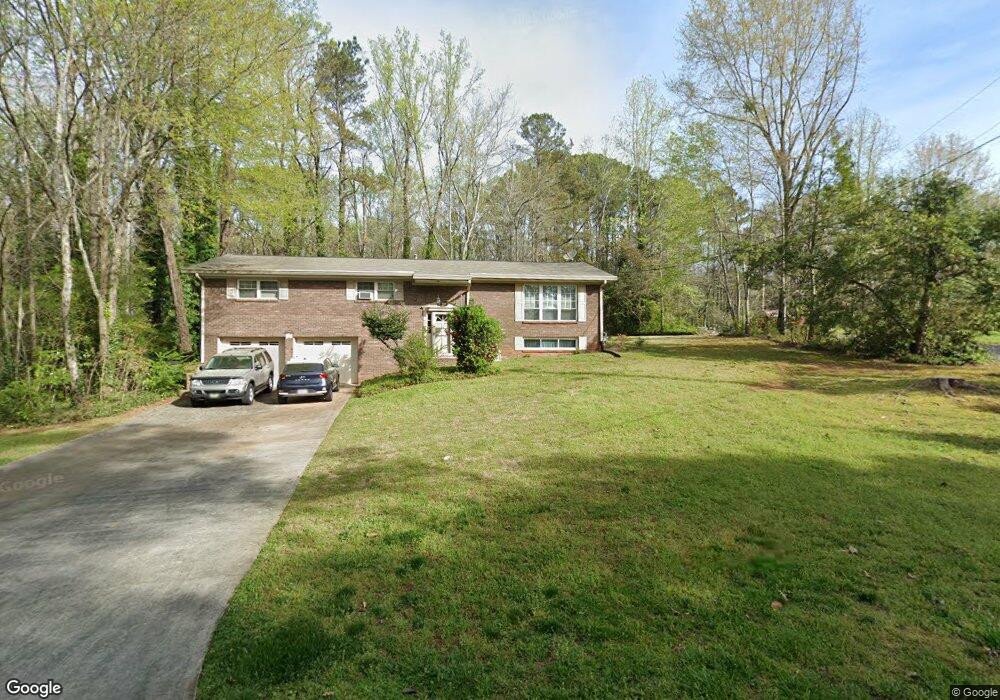
5351 Crossroads Dr Unit 2 Acworth, GA 30102
Oak Grove NeighborhoodEstimated Value: $335,887 - $368,000
3
Beds
2
Baths
1,920
Sq Ft
$183/Sq Ft
Est. Value
About This Home
This home is located at 5351 Crossroads Dr Unit 2, Acworth, GA 30102 and is currently estimated at $351,944, approximately $183 per square foot. 5351 Crossroads Dr Unit 2 is a home located in Cherokee County with nearby schools including E. T. Booth Middle School, Etowah High School, and Keystone Prep Academy.
Ownership History
Date
Name
Owned For
Owner Type
Purchase Details
Closed on
Apr 2, 1998
Sold by
Benton Peggy B
Bought by
Maillett Paul G
Current Estimated Value
Home Financials for this Owner
Home Financials are based on the most recent Mortgage that was taken out on this home.
Original Mortgage
$104,600
Interest Rate
8%
Mortgage Type
VA
Create a Home Valuation Report for This Property
The Home Valuation Report is an in-depth analysis detailing your home's value as well as a comparison with similar homes in the area
Home Values in the Area
Average Home Value in this Area
Purchase History
| Date | Buyer | Sale Price | Title Company |
|---|---|---|---|
| Maillett Paul G | $104,600 | -- |
Source: Public Records
Mortgage History
| Date | Status | Borrower | Loan Amount |
|---|---|---|---|
| Previous Owner | Maillett Paul G | $104,600 |
Source: Public Records
Tax History Compared to Growth
Tax History
| Year | Tax Paid | Tax Assessment Tax Assessment Total Assessment is a certain percentage of the fair market value that is determined by local assessors to be the total taxable value of land and additions on the property. | Land | Improvement |
|---|---|---|---|---|
| 2025 | $668 | $128,768 | $30,000 | $98,768 |
| 2024 | $645 | $120,688 | $30,000 | $90,688 |
| 2023 | $458 | $104,928 | $22,000 | $82,928 |
| 2022 | $2,073 | $85,968 | $18,000 | $67,968 |
| 2021 | $1,953 | $73,448 | $14,000 | $59,448 |
| 2020 | $1,714 | $63,088 | $10,400 | $52,688 |
| 2019 | $1,651 | $60,360 | $10,400 | $49,960 |
| 2018 | $1,557 | $56,720 | $10,400 | $46,320 |
| 2017 | $1,588 | $152,700 | $10,400 | $50,680 |
| 2016 | $1,529 | $137,100 | $10,400 | $44,440 |
| 2015 | $1,462 | $130,100 | $10,400 | $41,640 |
| 2014 | $1,317 | $117,500 | $8,400 | $38,600 |
Source: Public Records
Map
Nearby Homes
- 243 Odell St
- 1071 Ferry Creek Way
- 216 Don John Trail
- 5357 Wade Green Rd
- 710 Pineglen Dr
- 313 Stations Ave
- 5543 Forest Dr
- 206 Oakleaf Dr
- 111 Tyson Woods Rd
- 1172 Ridgeside Dr NW
- 367 Lake Forest Dr
- 405 Hobo Ln
- 515 Altama Way
- 1220 Wade Green Cir NW Unit 1
- 107 Red Barn Ln
- 305 Wilshire Pass
- 5307 Shadow Cir
- 5351 Crossroads Dr
- 5356 Crossroads Dr
- 1137 Becky Ct
- 5365 Tracy Ct
- 5345 Crossroads Dr
- 5368 Crossroads Dr
- 1142 Becky Ct
- 5373 Crossroads Dr
- 5359 Tracy Ct
- 1135 Becky Ct
- 1133 W Alabama Dr
- 5380 Crossroads Dr Unit 2
- 1125 W Alabama Dr
- 1114 Becky Ct
- 1141 W Alabama Dr
- 0 Becky Ct Unit 7533930
- 0 Becky Ct Unit 8722818
- 0 Becky Ct Unit 8058921
- 1119 W Alabama Dr Unit 1
- 5401 Crossroads Dr