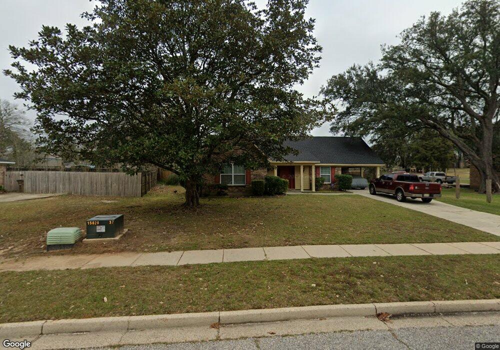
5351 Longridge Dr N Mobile, AL 36693
Canterbury NeighborhoodEstimated Value: $187,070 - $216,000
3
Beds
2
Baths
1,702
Sq Ft
$118/Sq Ft
Est. Value
About This Home
This home is located at 5351 Longridge Dr N, Mobile, AL 36693 and is currently estimated at $200,018, approximately $117 per square foot. 5351 Longridge Dr N is a home located in Mobile County with nearby schools including Kate Shepard Elementary School, Burns Middle School, and Murphy High School.
Ownership History
Date
Name
Owned For
Owner Type
Purchase Details
Closed on
May 4, 2011
Sold by
Secretary Of Housing & Urban Development
Bought by
Brewer Keith A and Brewer Claudie J
Current Estimated Value
Home Financials for this Owner
Home Financials are based on the most recent Mortgage that was taken out on this home.
Original Mortgage
$89,600
Outstanding Balance
$62,067
Interest Rate
4.81%
Mortgage Type
New Conventional
Estimated Equity
$137,951
Purchase Details
Closed on
Mar 26, 2004
Sold by
Tait Larry Clifton and Tait Sherie Irwin
Bought by
White Spunner Daniel E
Home Financials for this Owner
Home Financials are based on the most recent Mortgage that was taken out on this home.
Original Mortgage
$96,425
Interest Rate
5.38%
Mortgage Type
FHA
Create a Home Valuation Report for This Property
The Home Valuation Report is an in-depth analysis detailing your home's value as well as a comparison with similar homes in the area
Home Values in the Area
Average Home Value in this Area
Purchase History
| Date | Buyer | Sale Price | Title Company |
|---|---|---|---|
| Brewer Keith A | $112,000 | None Available | |
| White Spunner Daniel E | $110,000 | -- |
Source: Public Records
Mortgage History
| Date | Status | Borrower | Loan Amount |
|---|---|---|---|
| Open | Brewer Keith A | $89,600 | |
| Previous Owner | White Spunner Daniel E | $96,425 |
Source: Public Records
Tax History Compared to Growth
Tax History
| Year | Tax Paid | Tax Assessment Tax Assessment Total Assessment is a certain percentage of the fair market value that is determined by local assessors to be the total taxable value of land and additions on the property. | Land | Improvement |
|---|---|---|---|---|
| 2024 | $2,052 | $32,160 | $6,000 | $26,160 |
| 2023 | $2,052 | $30,360 | $6,000 | $24,360 |
| 2022 | $1,693 | $26,660 | $6,000 | $20,660 |
| 2021 | $1,612 | $25,380 | $6,000 | $19,380 |
| 2020 | $1,600 | $25,200 | $6,000 | $19,200 |
| 2019 | $1,601 | $25,220 | $0 | $0 |
| 2018 | $1,601 | $25,220 | $0 | $0 |
| 2017 | $1,537 | $24,200 | $0 | $0 |
| 2016 | $1,500 | $23,620 | $0 | $0 |
| 2013 | $1,646 | $25,700 | $0 | $0 |
Source: Public Records
Map
Nearby Homes
- 3613 Vista Ridge Dr
- 5495 Girby Rd
- 0 Girby Rd
- 5220 Medford Cir
- 3401 Emelye Dr
- 3549 Rue Royal
- 3105 Grishilde Dr
- 5508 White Pine Dr
- 3075 Longleaf Dr
- 5116 Geoffrey Dr
- 5114 Geoffrey Dr
- 5105 Geoffrey Dr
- 1648 Apex Dr
- 3001 Blue Ridge Dr E
- 5537 Cross Creek Dr
- 5541 Cross Creek Dr
- 5536 Cross Creek Dr
- 5504 Timberline Ridge
- 1418 Polaris Dr
- 1572 Hillandale Dr
- 3701 Arrington Dr
- 3662 Surrey Ct
- 3617 Arrington Dr
- 5359 Salmon Ct
- 5355 Salmon Ct
- 3613 Arrington Dr
- 5354 Longridge Dr N
- 3654 Surrey Ct
- 3700 Norton Dr
- 3700 Norton Dr Unit 2
- 3609 Arrington Dr
- 3708 Arrington Dr
- 3709 Arrington Dr
- 5401 Myrick Ct
- 5351 Salmon Ct
- 3710 Arrington Dr
- 5339 Longridge Dr N
- 3663 Surrey Ct
- 3650 Surrey Ct
- 3612 Arrington Dr