5352 White Ibis Dr Unit I North Port, FL 34287
Estimated Value: $350,000 - $439,000
3
Beds
3
Baths
2,074
Sq Ft
$192/Sq Ft
Est. Value
About This Home
This home is located at 5352 White Ibis Dr Unit I, North Port, FL 34287 and is currently estimated at $397,623, approximately $191 per square foot. 5352 White Ibis Dr Unit I is a home located in Sarasota County with nearby schools including North Port High School, Lamarque Elementary School, and Heron Creek Middle School.
Ownership History
Date
Name
Owned For
Owner Type
Purchase Details
Closed on
Feb 7, 2005
Sold by
Bannon William T and Bannon Judith A
Bought by
Fryling Keith W and Fryling Diane M
Current Estimated Value
Home Financials for this Owner
Home Financials are based on the most recent Mortgage that was taken out on this home.
Original Mortgage
$264,800
Outstanding Balance
$91,813
Interest Rate
1%
Mortgage Type
Negative Amortization
Estimated Equity
$305,810
Purchase Details
Closed on
Jan 25, 2001
Sold by
Whitehall Ltd Inc
Bought by
Bannon William T and Bannon Judith A
Home Financials for this Owner
Home Financials are based on the most recent Mortgage that was taken out on this home.
Original Mortgage
$179,500
Interest Rate
7.44%
Create a Home Valuation Report for This Property
The Home Valuation Report is an in-depth analysis detailing your home's value as well as a comparison with similar homes in the area
Home Values in the Area
Average Home Value in this Area
Purchase History
| Date | Buyer | Sale Price | Title Company |
|---|---|---|---|
| Fryling Keith W | $331,000 | National Title & Escrow Serv | |
| Bannon William T | $224,500 | -- |
Source: Public Records
Mortgage History
| Date | Status | Borrower | Loan Amount |
|---|---|---|---|
| Open | Fryling Keith W | $264,800 | |
| Previous Owner | Bannon William T | $179,500 |
Source: Public Records
Tax History Compared to Growth
Tax History
| Year | Tax Paid | Tax Assessment Tax Assessment Total Assessment is a certain percentage of the fair market value that is determined by local assessors to be the total taxable value of land and additions on the property. | Land | Improvement |
|---|---|---|---|---|
| 2024 | $4,969 | $285,500 | -- | -- |
| 2023 | $4,969 | $340,700 | $70,100 | $270,600 |
| 2022 | $4,431 | $283,300 | $56,100 | $227,200 |
| 2021 | $3,918 | $214,500 | $31,900 | $182,600 |
| 2020 | $3,717 | $200,700 | $41,500 | $159,200 |
| 2019 | $3,483 | $184,300 | $23,100 | $161,200 |
| 2018 | $3,887 | $218,700 | $50,200 | $168,500 |
| 2017 | $4,006 | $223,800 | $41,000 | $182,800 |
| 2016 | $3,872 | $212,000 | $38,600 | $173,400 |
| 2015 | $3,644 | $189,700 | $25,200 | $164,500 |
| 2014 | $3,580 | $175,500 | $0 | $0 |
Source: Public Records
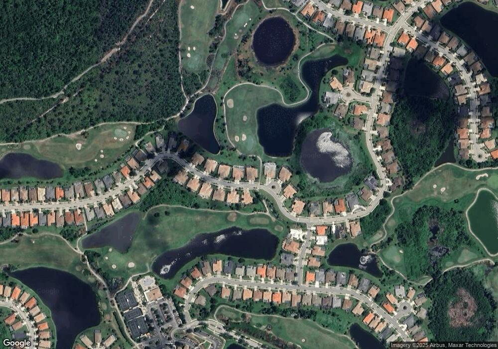
Map
Nearby Homes
- 5303 White Ibis Ct
- 5283 Pine Shadow Ln
- 5270 White Ibis Dr
- 1210 Eagles Flight Way
- 5223 Pine Shadow Ln
- 3337 Pine Shadow Cir
- 5189 Pine Shadow Ln
- 2878 Egret Ct
- 4427 Blue Heron Cir
- 1062 Eagles Flight Way
- 5105 Pine Shadow Ln
- 5608 White Ibis Dr
- 5560 Club View Ln
- 5101 Pine Shadow Ln
- 5106 Pine Shadow Ln
- 1011 Creek Nine Dr
- 5112 White Ibis Dr
- 1051 Creek Nine Dr
- 5351 Laurel Oak Ct
- 5301 Laurel Oak Ct
- 5346 White Ibis Dr
- 5358 White Ibis Dr
- 5364 White Ibis Dr
- 5340 White Ibis Dr
- 5370 White Ibis Dr
- 5334 White Ibis Dr
- 5351 White Ibis Dr
- 5339 White Ibis Dr
- 5359 White Ibis Dr
- 5376 White Ibis Dr
- 5365 White Ibis Dr
- 5328 White Ibis Dr
- 5382 White Ibis Dr
- 5375 White Ibis Dr
- 5322 White Ibis Dr
- 5388 White Ibis Dr
- 5316 White Ibis Dr
- 5381 White Ibis Dr
- 5310 White Ibis Dr
- 5385 White Ibis Dr