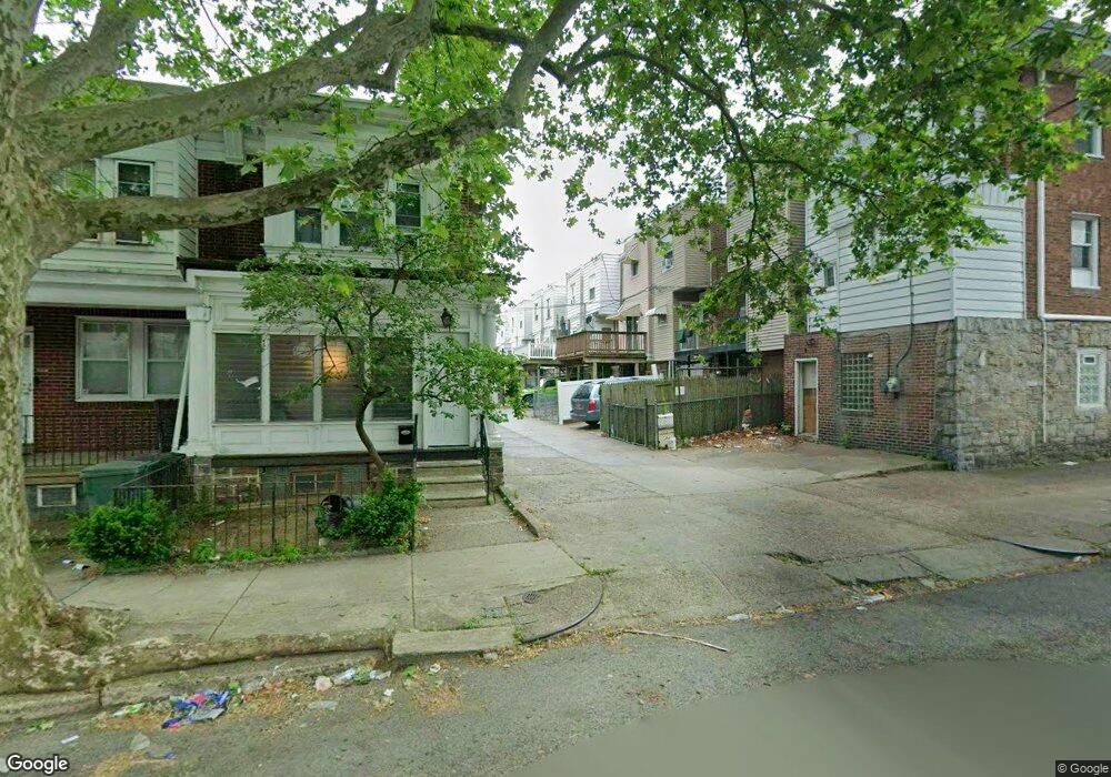
5353 Large St Philadelphia, PA 19124
Frankford NeighborhoodEstimated Value: $218,479 - $240,000
3
Beds
1
Bath
1,368
Sq Ft
$169/Sq Ft
Est. Value
About This Home
This home is located at 5353 Large St, Philadelphia, PA 19124 and is currently estimated at $231,620, approximately $169 per square foot. 5353 Large St is a home located in Philadelphia County with nearby schools including Frankford High School, The Philadelphia Charter School for the Arts & Sciences, and Mastery Schools Smedley Elementary.
Ownership History
Date
Name
Owned For
Owner Type
Purchase Details
Closed on
Mar 27, 2019
Sold by
Solar Real Estate Enterprises Lp
Bought by
Voluck Realty Group Llc
Current Estimated Value
Home Financials for this Owner
Home Financials are based on the most recent Mortgage that was taken out on this home.
Original Mortgage
$800,000
Interest Rate
4.3%
Mortgage Type
Commercial
Purchase Details
Closed on
Feb 11, 1993
Bought by
Solar Real Estate Enter
Create a Home Valuation Report for This Property
The Home Valuation Report is an in-depth analysis detailing your home's value as well as a comparison with similar homes in the area
Home Values in the Area
Average Home Value in this Area
Purchase History
| Date | Buyer | Sale Price | Title Company |
|---|---|---|---|
| Voluck Realty Group Llc | $968,000 | None Available | |
| Solar Real Estate Enter | $41,000 | -- |
Source: Public Records
Mortgage History
| Date | Status | Borrower | Loan Amount |
|---|---|---|---|
| Closed | Voluck Realty Group Llc | $800,000 |
Source: Public Records
Tax History Compared to Growth
Tax History
| Year | Tax Paid | Tax Assessment Tax Assessment Total Assessment is a certain percentage of the fair market value that is determined by local assessors to be the total taxable value of land and additions on the property. | Land | Improvement |
|---|---|---|---|---|
| 2026 | $2,094 | $182,500 | $36,500 | $146,000 |
| 2025 | $2,094 | $182,500 | $36,500 | $146,000 |
| 2024 | $2,094 | $182,500 | $36,500 | $146,000 |
| 2023 | $2,094 | $149,600 | $29,900 | $119,700 |
| 2022 | $1,566 | $149,600 | $29,900 | $119,700 |
| 2021 | $1,566 | $0 | $0 | $0 |
| 2020 | $1,566 | $0 | $0 | $0 |
| 2019 | $1,503 | $0 | $0 | $0 |
| 2018 | $1,396 | $0 | $0 | $0 |
| 2017 | $1,396 | $0 | $0 | $0 |
| 2016 | $1,396 | $0 | $0 | $0 |
| 2015 | $1,336 | $0 | $0 | $0 |
| 2014 | -- | $99,700 | $17,475 | $82,225 |
| 2012 | -- | $13,344 | $1,427 | $11,917 |
Source: Public Records
Map
Nearby Homes
- 1137 Bridge St
- 1048 Bridge St
- 1431 Rosalie St
- 5347 Sylvester St
- 1244 E Sanger St
- 5661 Miriam Rd
- 5659 Miriam Rd
- 1204 Pratt St
- 5451 Oakland St
- 5422 Akron St
- 1218 Pratt St
- 5304 Akron St
- 1220 Pratt St
- 5902 E Roosevelt Blvd
- 5345 Akron St
- 5431 Akron St
- 1530 Van Kirk St
- 5640 Miriam Rd
- 5828 Akron St
- 5241 Akron St