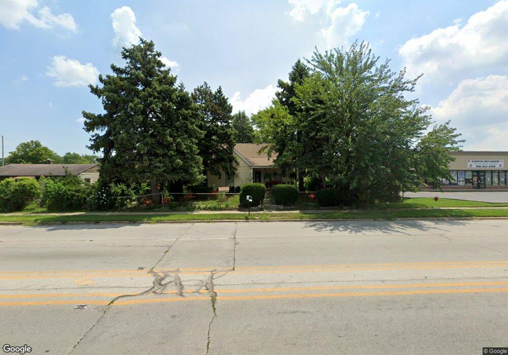
5353 State Rd Burbank, IL 60459
Estimated Value: $225,000 - $343,000
3
Beds
2
Baths
1,445
Sq Ft
$211/Sq Ft
Est. Value
About This Home
This home is located at 5353 State Rd, Burbank, IL 60459 and is currently estimated at $304,759, approximately $210 per square foot. 5353 State Rd is a home located in Cook County with nearby schools including J.B. Kennedy Elementary School, Reavis High School, and St Albert the Great Catholic School.
Ownership History
Date
Name
Owned For
Owner Type
Purchase Details
Closed on
Mar 18, 2024
Sold by
Olivarez Pablo and Olivares Pablo
Bought by
Olivaftez Pablo
Current Estimated Value
Home Financials for this Owner
Home Financials are based on the most recent Mortgage that was taken out on this home.
Original Mortgage
$70,000
Outstanding Balance
$68,698
Interest Rate
6.9%
Mortgage Type
New Conventional
Estimated Equity
$236,061
Purchase Details
Closed on
Feb 27, 2001
Sold by
Federal National Mortgage Association
Bought by
Olivares Pablo
Home Financials for this Owner
Home Financials are based on the most recent Mortgage that was taken out on this home.
Original Mortgage
$87,300
Interest Rate
7.02%
Purchase Details
Closed on
Oct 25, 2000
Sold by
Congelose Dennis M
Bought by
The Dime Svgs Bank Of New York Fsb
Create a Home Valuation Report for This Property
The Home Valuation Report is an in-depth analysis detailing your home's value as well as a comparison with similar homes in the area
Home Values in the Area
Average Home Value in this Area
Purchase History
| Date | Buyer | Sale Price | Title Company |
|---|---|---|---|
| Olivaftez Pablo | -- | Citywide Title | |
| Olivares Pablo | -- | -- | |
| The Dime Svgs Bank Of New York Fsb | -- | -- |
Source: Public Records
Mortgage History
| Date | Status | Borrower | Loan Amount |
|---|---|---|---|
| Open | Olivaftez Pablo | $70,000 | |
| Previous Owner | Olivares Pablo | $87,300 |
Source: Public Records
Tax History
| Year | Tax Paid | Tax Assessment Tax Assessment Total Assessment is a certain percentage of the fair market value that is determined by local assessors to be the total taxable value of land and additions on the property. | Land | Improvement |
|---|---|---|---|---|
| 2025 | $6,728 | $25,000 | $7,421 | $17,579 |
| 2024 | $6,728 | $25,000 | $7,421 | $17,579 |
| 2023 | $5,078 | $25,000 | $7,421 | $17,579 |
| 2022 | $5,078 | $16,589 | $6,445 | $10,144 |
| 2021 | $4,892 | $16,588 | $6,444 | $10,144 |
| 2020 | $4,801 | $16,588 | $6,444 | $10,144 |
| 2019 | $5,896 | $19,886 | $5,859 | $14,027 |
| 2018 | $5,726 | $19,886 | $5,859 | $14,027 |
| 2017 | $5,557 | $19,886 | $5,859 | $14,027 |
| 2016 | $4,066 | $14,037 | $4,882 | $9,155 |
| 2015 | $3,872 | $14,037 | $4,882 | $9,155 |
| 2014 | $3,773 | $14,037 | $4,882 | $9,155 |
| 2013 | $4,124 | $16,349 | $4,882 | $11,467 |
Source: Public Records
Map
Nearby Homes
- 5242 W 79th St Unit 3D
- 7624 Lockwood Ave
- 5120 W 79th St
- 7808 Central Ave
- 7807 Parkside Ave
- 7814 Major Ave
- 5002 W 79th St
- 7714 Lavergne Ave
- 7843 Massasoit Ave
- 8254 Linder Ave
- 5822 W 79th St
- 7836 Monitor Ave
- 7740 Monitor Ave
- 5841 W 75th Place
- 5500 W 83rd Place
- 5543 W 83rd St
- 5840 W 77th St Unit 302
- 5727 W 82nd St
- 8033 Austin Ave
- 7715 S Kilpatrick Ave