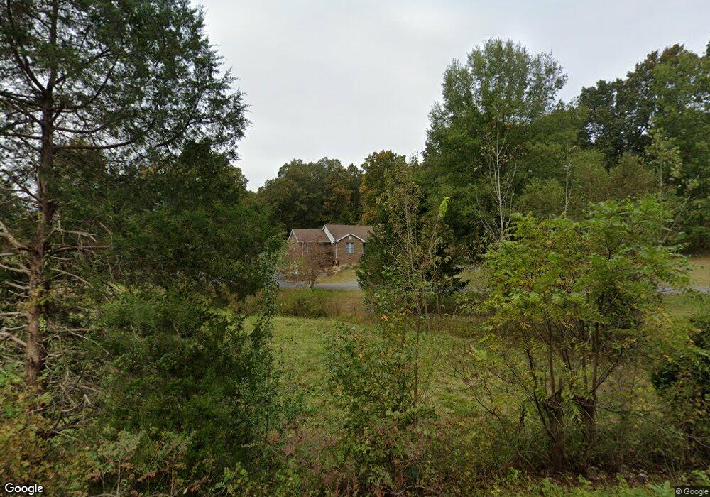
5353 State Route 69 N Hartford, KY 42347
Estimated Value: $265,000 - $309,000
--
Bed
--
Bath
--
Sq Ft
0.96
Acres
About This Home
This home is located at 5353 State Route 69 N, Hartford, KY 42347 and is currently estimated at $293,440. 5353 State Route 69 N is a home with nearby schools including Ohio County Middle School and Ohio County High School.
Ownership History
Date
Name
Owned For
Owner Type
Purchase Details
Closed on
Jan 28, 2022
Sold by
Everly Derek D and Everly Danielle M
Bought by
Aebersold Zachary G
Current Estimated Value
Home Financials for this Owner
Home Financials are based on the most recent Mortgage that was taken out on this home.
Original Mortgage
$250,381
Outstanding Balance
$232,215
Interest Rate
3.45%
Mortgage Type
Construction
Estimated Equity
$61,225
Purchase Details
Closed on
Jul 31, 2019
Sold by
Waters Joann E
Bought by
Everly Derek D
Create a Home Valuation Report for This Property
The Home Valuation Report is an in-depth analysis detailing your home's value as well as a comparison with similar homes in the area
Home Values in the Area
Average Home Value in this Area
Purchase History
| Date | Buyer | Sale Price | Title Company |
|---|---|---|---|
| Aebersold Zachary G | $255,000 | Foreman Watson Land Title Llc | |
| Everly Derek D | $202,000 | Attorney Only | |
| Annis Kimberly | -- | -- |
Source: Public Records
Mortgage History
| Date | Status | Borrower | Loan Amount |
|---|---|---|---|
| Open | Aebersold Zachary G | $250,381 |
Source: Public Records
Tax History Compared to Growth
Tax History
| Year | Tax Paid | Tax Assessment Tax Assessment Total Assessment is a certain percentage of the fair market value that is determined by local assessors to be the total taxable value of land and additions on the property. | Land | Improvement |
|---|---|---|---|---|
| 2024 | $2,458 | $255,000 | $0 | $0 |
| 2023 | $2,451 | $255,000 | $0 | $0 |
| 2022 | $1,923 | $202,000 | $0 | $0 |
| 2021 | $1,903 | $202,000 | $0 | $0 |
| 2020 | $1,894 | $202,000 | $0 | $0 |
| 2019 | $1,898 | $245,500 | $0 | $0 |
| 2018 | $1,839 | $245,500 | $0 | $0 |
| 2017 | $1,815 | $245,500 | $0 | $0 |
| 2016 | $2,066 | $245,500 | $0 | $0 |
| 2015 | $1,611 | $203,000 | $0 | $0 |
| 2014 | $1,588 | $203,000 | $0 | $0 |
Source: Public Records
Map
Nearby Homes
- 6768 State Route 69 N
- 870 Cedar Grove Rd
- 6021 Bethel Church Rd
- 2476 Round Hill Rd
- 12 Dogwood Dr
- 809 Mount Vernon Rd
- 1127 Boswell Rd
- 1036 Silver Beach Rd
- 441 State Route 1543
- 3658 State Route 1414
- 1609 State Route 1543
- 709 Griffin St
- 278 A G Daniel Rd
- 0 Halls Creek Rd
- 710 Madison St
- Tract 13 Stinson Loop
- 483 Livermore Rd
- 1305 Cherry Ln
- 180 Old Hartford Rd
- 1100 Duvall Rd
- 5626 State Route 69 N
- 5345 State Route 69 N
- 139 Combs Bridge Rd
- 5162 State Route 69 N
- 5162 State Route 69 N
- 63 Combs Bridge Rd
- 5120 State Route 69 N
- 5775 State Route 69 N
- 5038 State Route 69 N
- 5925 State Route 69 N
- 5015 State Route 69 N
- 582 Combs Bridge Rd
- 784 Combs Bridge Rd
- 244 Lake Ln
- 217 Lake Ln
- 915 Combs Bridge Rd
- 52 Gillim Ln
- 403 Round Hill Rd
- 4007 State Route 69 N
- 45 Lake Ln