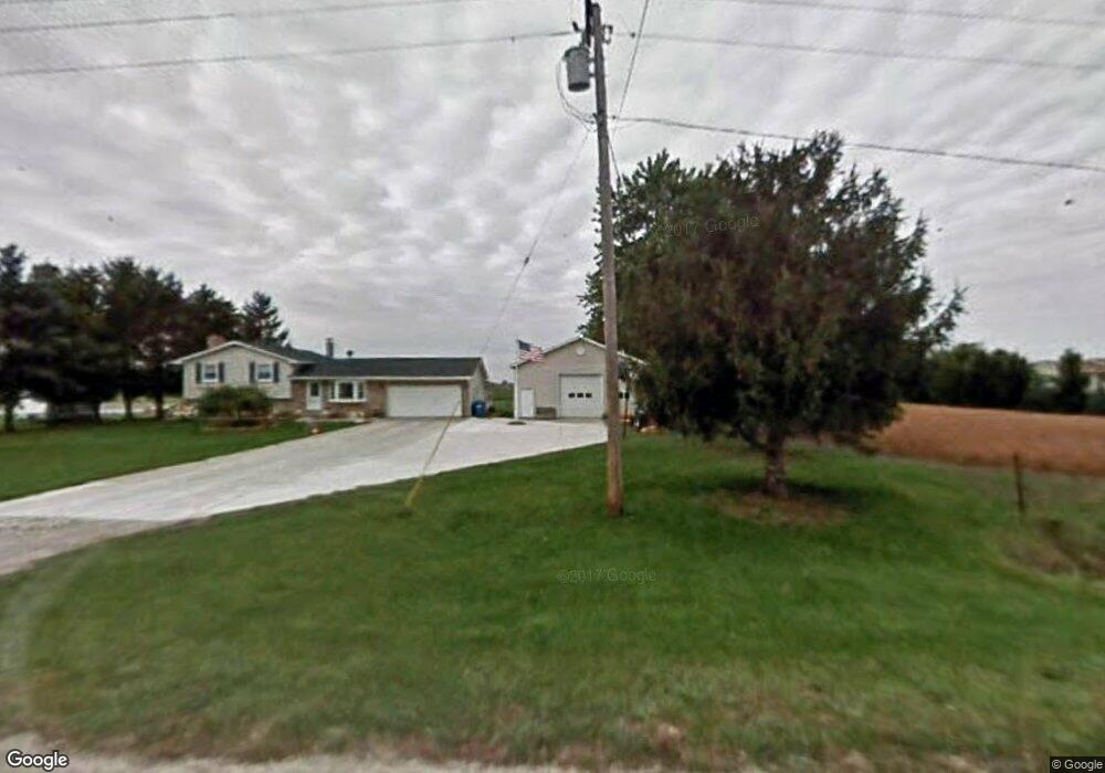
5355 Far Rd Dundee, MI 48131
Estimated Value: $254,000 - $372,000
Studio
--
Bath
--
Sq Ft
196,020
Sq Ft Lot
About This Home
This home is located at 5355 Far Rd, Dundee, MI 48131 and is currently estimated at $312,104. 5355 Far Rd is a home located in Monroe County with nearby schools including Britton-Macon Area School.
Ownership History
Date
Name
Owned For
Owner Type
Purchase Details
Closed on
Nov 12, 2020
Sold by
Graham Richard P and Graham Wendy J
Bought by
Suchy Leo
Current Estimated Value
Purchase Details
Closed on
Dec 2, 2011
Sold by
Graham Richard P and Graham Wendy J
Bought by
Graham Richard P and Graham Wendy J
Home Financials for this Owner
Home Financials are based on the most recent Mortgage that was taken out on this home.
Original Mortgage
$70,243
Interest Rate
4.02%
Mortgage Type
New Conventional
Create a Home Valuation Report for This Property
The Home Valuation Report is an in-depth analysis detailing your home's value as well as a comparison with similar homes in the area
Home Values in the Area
Average Home Value in this Area
Purchase History
| Date | Buyer | Sale Price | Title Company |
|---|---|---|---|
| Suchy Leo | $360,000 | Devon Title Agency | |
| Graham Richard P | -- | -- |
Source: Public Records
Mortgage History
| Date | Status | Borrower | Loan Amount |
|---|---|---|---|
| Previous Owner | Graham Richard P | $70,243 |
Source: Public Records
Tax History
| Year | Tax Paid | Tax Assessment Tax Assessment Total Assessment is a certain percentage of the fair market value that is determined by local assessors to be the total taxable value of land and additions on the property. | Land | Improvement |
|---|---|---|---|---|
| 2025 | $53 | $153,970 | $153,970 | $0 |
| 2024 | $38 | $151,730 | $0 | $0 |
| 2023 | $0 | $0 | $0 | $0 |
| 2021 | $2,307 | $125,340 | $0 | $0 |
| 2020 | $2,433 | $107,520 | $0 | $0 |
| 2019 | $922 | $107,520 | $0 | $0 |
| 2018 | $2,635 | $98,010 | $0 | $0 |
| 2017 | $2,591 | $98,010 | $0 | $0 |
| 2016 | $2,353 | $96,880 | $0 | $0 |
| 2015 | $2,332 | $80,860 | $0 | $0 |
| 2014 | $2,305 | $80,860 | $0 | $0 |
| 2013 | $2,347 | $77,440 | $0 | $0 |
Source: Public Records
Map
Nearby Homes
- 18353 Brewer Rd
- 1 Shaw Hwy
- 16488 Tecumseh St
- 448 E Chicago Blvd
- 11211 Dennison Rd
- 16484 Tecumseh St
- 0 Tecumseh St
- 179 Timberbrook Ln
- 163 Rose St
- 231 S Main St
- 260 S Main St
- 6859 N Ann Arbor Rd
- 306 N Main St
- 454 Tecumseh St
- 379 N Main St
- 469 Corinth
- 150 Waterstradt Commerce Dr
- 512 Brooks Hollow Ct
- 504 Brooks Hollow Ct
- 626 Plank St
- 5407 Far Rd
- 5472 Far Rd
- 6180 Far Rd
- 19962 Tecumseh Rd
- 20167 Tecumseh Rd
- 0 M-50 Unit 400 BLOCK M50
- 0 M-50 Unit 400 BLOCK M 50
- 20399 Tecumseh Rd
- 20262 Tecumseh Rd
- 20370 Tecumseh Rd
- 19929 Tecumseh Rd
- 19778 Tecumseh Rd
- 6267 Far Rd
- 6050 Hiser Rd
- 5508 Hiser Rd
- 6383 Hiser Rd
- 20727 Tecumseh Rd
- 0000 Tecumseh Rd
- 20262 Michigan 50
- 20262 Highway 50
Your Personal Tour Guide
Ask me questions while you tour the home.