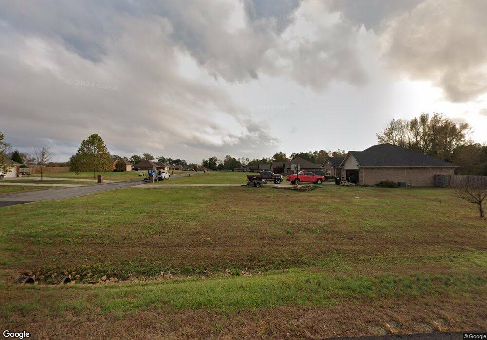
5355 Highway 321 E Austin, AR 72007
Estimated Value: $322,000 - $357,796
Studio
2
Baths
1,587
Sq Ft
$211/Sq Ft
Est. Value
About This Home
This home is located at 5355 Highway 321 E, Austin, AR 72007 and is currently estimated at $335,449, approximately $211 per square foot. 5355 Highway 321 E is a home located in Lonoke County with nearby schools including Stagecoach Elementary School, Cabot Junior High South, and Cabot Middle School South.
Ownership History
Date
Name
Owned For
Owner Type
Purchase Details
Closed on
Jul 27, 2021
Sold by
Mccabe Lauren and Schmidt Leroy A
Bought by
Linde Douglass W
Current Estimated Value
Home Financials for this Owner
Home Financials are based on the most recent Mortgage that was taken out on this home.
Original Mortgage
$168,000
Outstanding Balance
$152,174
Interest Rate
2.93%
Estimated Equity
$183,275
Purchase Details
Closed on
Jul 17, 2020
Sold by
Schmidt Keith Allen
Bought by
Schmidt Leroy A and Schmidt Patricia A
Purchase Details
Closed on
Dec 1, 2008
Sold by
Schmidt Leroy S and Schmidt Patricia A
Bought by
Schmidt Leroy A and Schmidt Patricia A
Purchase Details
Closed on
Nov 14, 2008
Sold by
Schmidt Leroy S and Schmidt Patricia A
Bought by
Schmidt Leroy A and Schmidt Patricia A
Purchase Details
Closed on
Aug 24, 1998
Bought by
Mccabe and Mccabe Wife
Purchase Details
Closed on
Jun 18, 1995
Bought by
Sheridan Duke and Sheridan Nalley
Purchase Details
Closed on
Jan 11, 1995
Bought by
Grand Prairie Water
Purchase Details
Closed on
Aug 10, 1992
Bought by
Jones and Jones Janice
Purchase Details
Closed on
Mar 21, 1988
Bought by
Walker 5 Ac
Purchase Details
Closed on
Feb 10, 1984
Bought by
Schmidt 5 Ac
Create a Home Valuation Report for This Property
The Home Valuation Report is an in-depth analysis detailing your home's value as well as a comparison with similar homes in the area
Purchase History
| Date | Buyer | Sale Price | Title Company |
|---|---|---|---|
| Linde Douglass W | -- | Cabot Title Company | |
| Linde Douglass W | -- | Cabot Title | |
| Linde Douglas W | $280,000 | Cabot Title Company | |
| Linde Douglass W | $280,000 | Cabot Title | |
| Schmidt Leroy A | -- | None Available | |
| Schmidt Leroy A | -- | -- | |
| Schmidt Leroy A | -- | -- | |
| Mccabe | -- | -- | |
| Sheridan Duke | $18,000 | -- | |
| Sheridan Duke | $18,000 | -- | |
| Grand Prairie Water | $1,500 | -- | |
| Jones | $5,000 | -- | |
| Walker 5 Ac | $14,000 | -- | |
| Schmidt 5 Ac | $5,000 | -- |
Source: Public Records
Mortgage History
| Date | Status | Borrower | Loan Amount |
|---|---|---|---|
| Open | Linde Douglass W | $168,000 | |
| Closed | Linde Douglass W | $168,000 |
Source: Public Records
Tax History
| Year | Tax Paid | Tax Assessment Tax Assessment Total Assessment is a certain percentage of the fair market value that is determined by local assessors to be the total taxable value of land and additions on the property. | Land | Improvement |
|---|---|---|---|---|
| 2025 | $1,319 | $27,750 | $2,870 | $24,880 |
| 2024 | $1,319 | $27,750 | $2,870 | $24,880 |
| 2023 | $1,319 | $27,750 | $2,870 | $24,880 |
| 2022 | $1,319 | $27,750 | $2,870 | $24,880 |
| 2021 | $475 | $27,750 | $2,870 | $24,880 |
| 2020 | $473 | $23,570 | $2,320 | $21,250 |
| 2019 | $473 | $23,570 | $2,320 | $21,250 |
| 2018 | $498 | $23,570 | $2,320 | $21,250 |
| 2017 | $740 | $23,570 | $2,320 | $21,250 |
| 2016 | $496 | $23,570 | $2,320 | $21,250 |
| 2015 | $737 | $22,840 | $2,210 | $20,630 |
| 2014 | $493 | $22,840 | $2,210 | $20,630 |
Source: Public Records
Map
Nearby Homes
- 160 Oak Grove Rd
- 00 Hwy 321
- 250 Saddle Brook Cove
- 152 Whitetail Ridge Rd
- 146 Whitetail Ridge Rd
- 164 Whitetail Ridge Rd
- Lot 31 Whitetail Ridge Rd
- 344 Mcfadden Rd
- 236 Bear Dr
- 1443 Oak Grove Rd
- 215 & 225 Lemay Loop
- 354 Michelle Ln
- Lot 13 Chasey Cove
- 635 S Oak Grove Rd
- 4275 Campground Rd
- 882 Patty Rd
- 373 Heather Loop
- 255 Bobwhite Trail
- 151 Hardester Dr
- 10340 Highway 31 N
- 5355 Highway 321 E
- 5415 Highway 321 E
- 5415 Highway 321 E
- 5147 Highway 321 E
- 5433 Highway 321 E
- 5433 E Hwy 321
- 44 Oak Grove Rd
- 00 Oak Grove Rd
- 162 Oak Grove Rd
- 5535 Highway 321 E Unit 61 Oak Grove Rd
- 5535 Highway 321 E
- 61 Oak Grove Rd
- 5535 Highway 321 E
- 5535 Highway 321 E Unit 61 Oak Grove Rd
- 0 Lagable Crest Unit 21002326
- 0 Lagable Crest Unit 20038539
- 55 Heffner Rd
- 175 Oak Grove Rd
- 5120 Highway 321 E
- 125 Heffner Rd
Your Personal Tour Guide
Ask me questions while you tour the home.