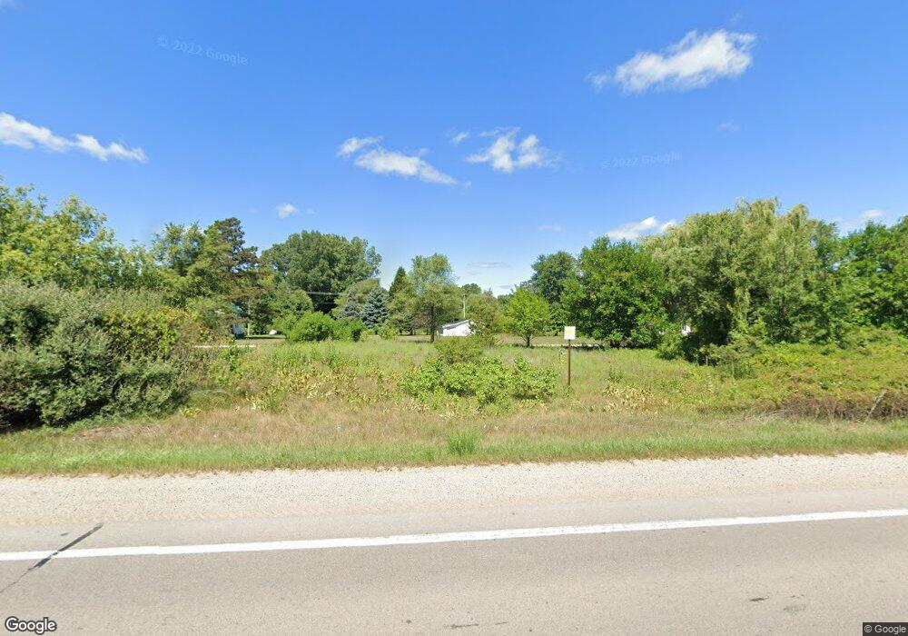
5355 S M 52 Owosso, MI 48867
Estimated Value: $295,000 - $329,000
--
Bed
--
Bath
--
Sq Ft
1.3
Acres
About This Home
This home is located at 5355 S M 52, Owosso, MI 48867 and is currently estimated at $307,465. 5355 S M 52 is a home located in Shiawassee County with nearby schools including Owosso High School and Owosso Christian School.
Ownership History
Date
Name
Owned For
Owner Type
Purchase Details
Closed on
Aug 15, 2022
Sold by
Engle Billy G and Engle Linda L
Bought by
Engle Billy G and Engle Linda L
Current Estimated Value
Purchase Details
Closed on
Feb 3, 2017
Sold by
David J Waltz
Bought by
Engle Rebecca
Home Financials for this Owner
Home Financials are based on the most recent Mortgage that was taken out on this home.
Original Mortgage
$58,080
Interest Rate
4.19%
Purchase Details
Closed on
Dec 30, 2003
Sold by
Doyle John W and Doyle Myrtle L
Bought by
Engle Billy G and Engle Linda L
Home Financials for this Owner
Home Financials are based on the most recent Mortgage that was taken out on this home.
Original Mortgage
$127,900
Interest Rate
5.91%
Mortgage Type
Unknown
Create a Home Valuation Report for This Property
The Home Valuation Report is an in-depth analysis detailing your home's value as well as a comparison with similar homes in the area
Home Values in the Area
Average Home Value in this Area
Purchase History
| Date | Buyer | Sale Price | Title Company |
|---|---|---|---|
| Engle Billy G | -- | -- | |
| Engle Rebecca | -- | -- | |
| Engle Billy G | $149,900 | First American Title |
Source: Public Records
Mortgage History
| Date | Status | Borrower | Loan Amount |
|---|---|---|---|
| Previous Owner | Engle Rebecca | $58,080 | |
| Previous Owner | Engle Rebecca | -- | |
| Previous Owner | Engle Billy G | $127,900 |
Source: Public Records
Tax History Compared to Growth
Tax History
| Year | Tax Paid | Tax Assessment Tax Assessment Total Assessment is a certain percentage of the fair market value that is determined by local assessors to be the total taxable value of land and additions on the property. | Land | Improvement |
|---|---|---|---|---|
| 2025 | $2,577 | $153,300 | $0 | $0 |
| 2024 | $2,601 | $137,600 | $0 | $0 |
| 2023 | $962 | $125,300 | $0 | $0 |
| 2022 | $916 | $112,400 | $0 | $0 |
| 2021 | $2,293 | $106,600 | $0 | $0 |
| 2020 | $2,272 | $104,400 | $0 | $0 |
| 2019 | $2,216 | $84,800 | $0 | $0 |
| 2018 | $2,246 | $82,400 | $0 | $0 |
| 2017 | $1,818 | $75,800 | $0 | $0 |
| 2016 | -- | $75,800 | $0 | $0 |
| 2015 | -- | $72,500 | $0 | $0 |
| 2014 | $9 | $69,200 | $0 | $0 |
Source: Public Records
Map
Nearby Homes
- 2973 W Brewer Rd
- 2628 W Brewer Rd
- 4458 S M 52
- 4650 Waugh Rd
- 25 Bennington Greens Dr
- 26 Bennington Greens Dr Unit 26
- 20 Bennington Greens Dr
- 24 Bennington Greens Dr
- 38 Bennington Greens Dr
- 14 Bennington Greens Dr
- 54 Bennington Greens Dr
- 38 Bennington Greens
- 3110 Innsbrook Dr
- 7697 Riverview St
- 3287 Oakview Dr
- 3062 Innsbrook Dr
- 0 Gale Rd Unit 50124635
- V/L Morrice Rd Rd
- V/L Tyrrell Rd
- 8 Bennington Greens Dr
- 5360 S M 52
- 5523 Michigan 52
- 5523 S M 52
- 5523 S M 52
- 5481 S M 52
- 5250 Michigan 52
- 5248 Michigan 52
- 5236 S M 52
- 5643 S M 52
- 5248 S M 52
- 5740 S M 52
- 5824 S M 52
- 5751 S M 52
- 5751 S M 52
- 3105 W Garrison Rd
- 5824 Michigan 52
- 0 Bennington Unit 229058
- 0 Bennington Unit 229055
- 0 Bennington Unit 229009
- 0 Bennington Unit 83578