Estimated Value: $248,000 - $282,000
3
Beds
3
Baths
1,902
Sq Ft
$142/Sq Ft
Est. Value
About This Home
This home is located at 5358 Mallard Cir Unit 55, Kent, OH 44240 and is currently estimated at $269,428, approximately $141 per square foot. 5358 Mallard Cir Unit 55 is a home located in Portage County with nearby schools including Brimfield Elementary School, Field Middle School, and Field High School.
Ownership History
Date
Name
Owned For
Owner Type
Purchase Details
Closed on
Jun 29, 2007
Sold by
Alpine Design & Development Corp
Bought by
Fisher John and Fisher Paula
Current Estimated Value
Home Financials for this Owner
Home Financials are based on the most recent Mortgage that was taken out on this home.
Original Mortgage
$131,234
Outstanding Balance
$80,992
Interest Rate
6.26%
Mortgage Type
Purchase Money Mortgage
Estimated Equity
$188,436
Create a Home Valuation Report for This Property
The Home Valuation Report is an in-depth analysis detailing your home's value as well as a comparison with similar homes in the area
Home Values in the Area
Average Home Value in this Area
Purchase History
| Date | Buyer | Sale Price | Title Company |
|---|---|---|---|
| Fisher John | $164,100 | Meridian Title |
Source: Public Records
Mortgage History
| Date | Status | Borrower | Loan Amount |
|---|---|---|---|
| Open | Fisher John | $131,234 |
Source: Public Records
Tax History Compared to Growth
Tax History
| Year | Tax Paid | Tax Assessment Tax Assessment Total Assessment is a certain percentage of the fair market value that is determined by local assessors to be the total taxable value of land and additions on the property. | Land | Improvement |
|---|---|---|---|---|
| 2024 | $3,843 | $80,710 | $7,000 | $73,710 |
| 2023 | $3,301 | $55,650 | $6,300 | $49,350 |
| 2022 | $3,311 | $55,650 | $6,300 | $49,350 |
| 2021 | $3,225 | $55,650 | $6,300 | $49,350 |
| 2020 | $2,976 | $46,380 | $5,250 | $41,130 |
| 2019 | $2,937 | $46,380 | $5,250 | $41,130 |
| 2018 | $2,384 | $44,210 | $5,250 | $38,960 |
| 2017 | $2,384 | $44,210 | $5,250 | $38,960 |
| 2016 | $2,360 | $44,210 | $5,250 | $38,960 |
| 2015 | $2,306 | $44,210 | $5,250 | $38,960 |
| 2014 | $2,234 | $44,210 | $5,250 | $38,960 |
| 2013 | $1,762 | $44,210 | $5,250 | $38,960 |
Source: Public Records
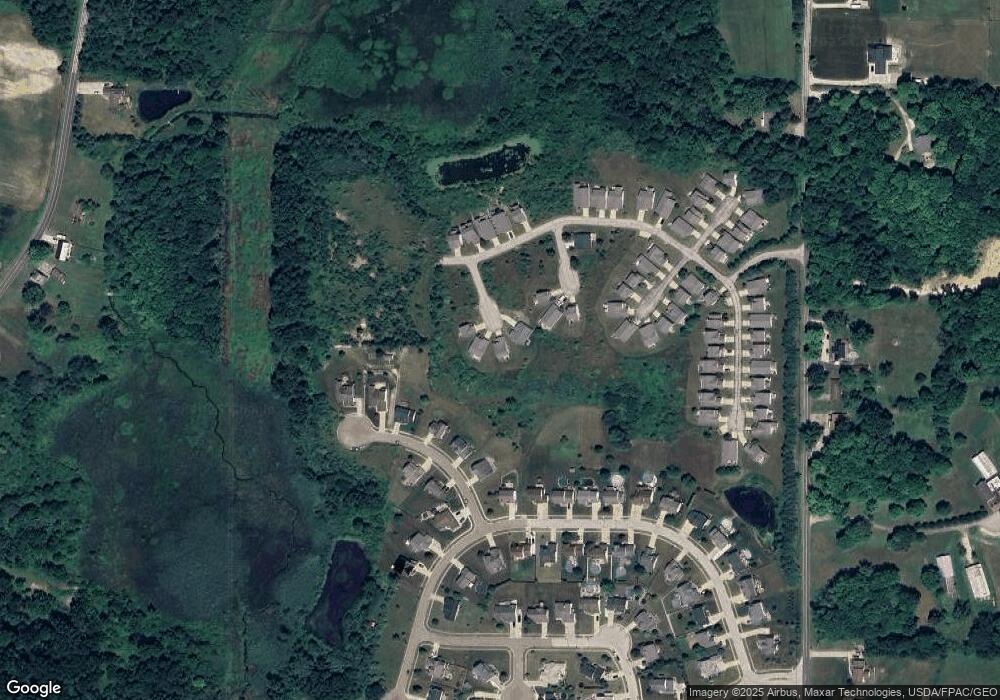
Map
Nearby Homes
- 2014 Sugar Maple Dr
- 5205 Cline Rd Unit A
- 4938 Brower Tree Ln
- 5123 Troyer Dr
- 5032 Blackberry Ln
- 2182 Sugar Maple Dr
- 2105 Sugar Maple Dr
- 2092 Sugar Maple Dr
- 2694 Sandy Lake Rd
- 1024E Cedar Ridge Dr
- 1024A Cedar Ridge Dr
- 2262 Willyard Ave
- 2464 Hazelnut Rd
- 4891 Edson Rd
- 1755 Honeychuck Ln
- 1523 Whitehall Blvd
- 1426 Loop Rd Unit 1426
- 5044 Sherman Wood Dr
- 5223 Aspen Meadow Dr
- 3130 Pondview Dr Unit 18
- 5359 Mallard Cir Unit 56
- 5357 Mallard Cir
- 5361 Mallard Cir Unit 57
- 5347 Forest Brook Cir Unit 39
- 5349 Forest Brook Cir Unit 40
- 5298 Mill Creek Dr
- 5292 Mill Creek Dr
- 5306 Mill Creek Dr
- 5313 Deer Trace Dr Unit 48
- 5284 Mill Creek Dr
- 5315 Deer Trace Dr Unit 49
- 5309 Deer Trace Dr
- 5311 Deer Trace Dr
- 5346 Forest Brook Cir Unit 38
- 5314 Mill Creek Dr
- 5325 Fawn Cir Unit 18
- 5324 Fawn Cir Unit 17
- 5307 Deer Trace Dr Unit 45
- 5297 Mill Creek Dr
- 5289 Mill Creek Dr