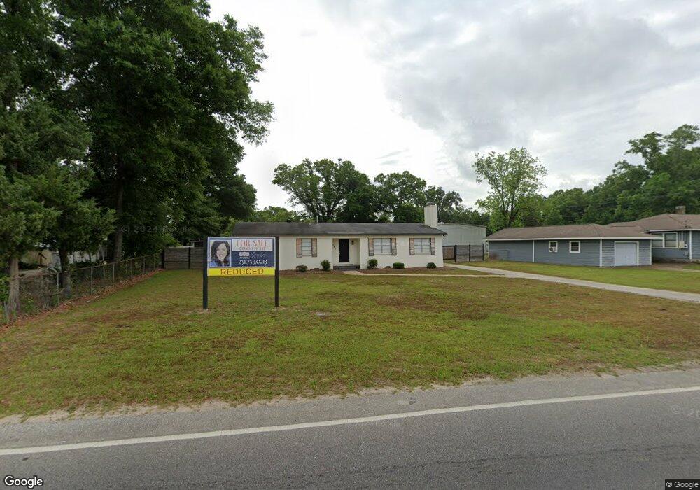
5358 Old Highway 43 Satsuma, AL 36572
Estimated Value: $219,000 - $245,014
4
Beds
3
Baths
2,089
Sq Ft
$111/Sq Ft
Est. Value
About This Home
This home is located at 5358 Old Highway 43, Satsuma, AL 36572 and is currently estimated at $232,004, approximately $111 per square foot. 5358 Old Highway 43 is a home located in Mobile County with nearby schools including Robert E. Lee Elementary School, Satsuma High School, and Satsuma Christian School.
Ownership History
Date
Name
Owned For
Owner Type
Purchase Details
Closed on
Oct 9, 2024
Sold by
Daniels Rental Llc
Bought by
Chr Realty Llc
Current Estimated Value
Purchase Details
Closed on
Jul 31, 2019
Sold by
Rivers Milton
Bought by
Daniel S Rental Llc
Home Financials for this Owner
Home Financials are based on the most recent Mortgage that was taken out on this home.
Original Mortgage
$67,500
Interest Rate
3.8%
Mortgage Type
Future Advance Clause Open End Mortgage
Purchase Details
Closed on
Apr 30, 2007
Sold by
Landrum Larry Ray
Bought by
Rivers Milton
Home Financials for this Owner
Home Financials are based on the most recent Mortgage that was taken out on this home.
Original Mortgage
$99,500
Interest Rate
6.11%
Mortgage Type
New Conventional
Create a Home Valuation Report for This Property
The Home Valuation Report is an in-depth analysis detailing your home's value as well as a comparison with similar homes in the area
Home Values in the Area
Average Home Value in this Area
Purchase History
| Date | Buyer | Sale Price | Title Company |
|---|---|---|---|
| Chr Realty Llc | $205,000 | None Listed On Document | |
| Daniel S Rental Llc | $90,000 | Fmt | |
| Rivers Milton | $137,000 | Fmt |
Source: Public Records
Mortgage History
| Date | Status | Borrower | Loan Amount |
|---|---|---|---|
| Previous Owner | Daniel S Rental Llc | $67,500 | |
| Previous Owner | Rivers Milton | $99,500 |
Source: Public Records
Tax History Compared to Growth
Tax History
| Year | Tax Paid | Tax Assessment Tax Assessment Total Assessment is a certain percentage of the fair market value that is determined by local assessors to be the total taxable value of land and additions on the property. | Land | Improvement |
|---|---|---|---|---|
| 2024 | $2,503 | $41,040 | $8,940 | $32,100 |
| 2023 | $2,503 | $23,780 | $2,600 | $21,180 |
| 2022 | $1,451 | $23,780 | $2,600 | $21,180 |
| 2021 | $1,174 | $19,240 | $2,600 | $16,640 |
| 2020 | $1,174 | $19,240 | $2,600 | $16,640 |
| 2019 | $476 | $8,900 | $0 | $0 |
| 2018 | $469 | $8,780 | $0 | $0 |
| 2017 | $469 | $8,780 | $0 | $0 |
| 2016 | $483 | $9,020 | $0 | $0 |
| 2013 | $475 | $8,660 | $0 | $0 |
Source: Public Records
Map
Nearby Homes
- 100 Baker Rd
- 39 Brice Ave
- 0 Willie Crook Ave
- 5503 Darring St
- 5509 Darring St
- 5303 U S 43
- 5454 3rd St
- 150 Orange Ave E
- 315 Thunderbird Dr
- 5454 Colony Trace Ct
- 207 Maple Ave E
- 152 Dewitt Ave
- 0 Travellers Ct Unit 34 0653435
- 5640 Orchard St
- 336 Avondale Ct
- 0 Orchard St
- 5366 Scanlan Way E
- 334 Avondale Ave
- 0 Travelers Ct Unit 34 315632
- 5463 Barbara Dr
- 5364 Old Highway 43
- 5352 Old Highway 43
- 5351 Old Highway 43
- 17 Oak Ave
- 5368 Old Highway 43
- 5340 Old Highway 43
- 14 Oak Ave
- 16 Oak Ave
- 18 Willie Crook Ave
- 21 Oak Ave
- 5312 Old Highway 43
- 6 Oak Ave
- 24 Oak Ave
- 25 Oak Ave
- 20 Willie Crook Ave
- 5321 Old Highway 43
- 22 Willie Crook Ave
- 29 Oak Ave
- 9 Bradford Ave
- 28 Oak Ave