Estimated Value: $210,000 - $277,000
Studio
1
Bath
1,681
Sq Ft
$147/Sq Ft
Est. Value
About This Home
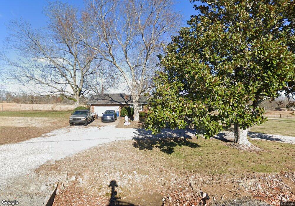
This home is located at 5359 Simpson Point Rd, Grant, AL 35747 and is currently estimated at $247,572, approximately $147 per square foot. 5359 Simpson Point Rd is a home located in Marshall County with nearby schools including Kate Duncan Smith DAR Elementary School, Kate Duncan Smith DAR Middle School, and Kate Duncan Smith DAR High School.
Ownership History
Date
Name
Owned For
Owner Type
Purchase Details
Closed on
Apr 20, 2005
Sold by
Parks Judie F and Parks Jimmy
Bought by
Walls Ronald L and Walls Dana M
Current Estimated Value
Home Financials for this Owner
Home Financials are based on the most recent Mortgage that was taken out on this home.
Original Mortgage
$102,315
Outstanding Balance
$53,517
Interest Rate
5.99%
Mortgage Type
New Conventional
Estimated Equity
$194,055
Purchase Details
Closed on
Jan 7, 2005
Sold by
Clark Stephen Thomas
Bought by
Parks Judie F
Home Financials for this Owner
Home Financials are based on the most recent Mortgage that was taken out on this home.
Original Mortgage
$60,000
Interest Rate
5.61%
Mortgage Type
New Conventional
Create a Home Valuation Report for This Property
The Home Valuation Report is an in-depth analysis detailing your home's value as well as a comparison with similar homes in the area
Purchase History
| Date | Buyer | Sale Price | Title Company |
|---|---|---|---|
| Walls Ronald L | -- | None Available | |
| Parks Judie F | -- | None Available |
Source: Public Records
Mortgage History
| Date | Status | Borrower | Loan Amount |
|---|---|---|---|
| Open | Walls Ronald L | $102,315 | |
| Previous Owner | Parks Judie F | $60,000 |
Source: Public Records
Tax History
| Year | Tax Paid | Tax Assessment Tax Assessment Total Assessment is a certain percentage of the fair market value that is determined by local assessors to be the total taxable value of land and additions on the property. | Land | Improvement |
|---|---|---|---|---|
| 2024 | $667 | $16,460 | $0 | $0 |
| 2023 | $624 | $16,220 | $0 | $0 |
| 2022 | $605 | $15,940 | $0 | $0 |
| 2021 | $575 | $15,140 | $0 | $0 |
| 2020 | $467 | $12,260 | $0 | $0 |
| 2017 | $371 | $11,300 | $0 | $0 |
| 2015 | -- | $10,360 | $0 | $0 |
| 2014 | -- | $10,360 | $0 | $0 |
Source: Public Records
Map
Nearby Homes
- 3219 Simpson Point Rd
- Lot 5 White Elephant Rd
- 1169 Honeycomb Rd
- 15 Shin Point Rd
- 2216 White Elephant Rd
- .80 Honeycomb Rd
- 89 Bearden Dr
- 1885 White Elephant Rd
- 7905 Simpson Point Rd
- 1520 White Elephant Rd
- 36 Randles Rd
- 1821 Simpson Point Rd
- 0 Honeycomb Rd Unit RTC3071170
- 0 Honeycomb Rd Unit 522693
- 247 Raulston Ln
- 8.7 acres Cathedral Caverns Hwy
- 2.90 acres-Lot2 Cathedral Caverns Hwy
- 2.90 acres-Lot1 Cathedral Caverns Hwy
- 2.95 acres-Lot3 Cathedral Caverns Hwy
- 2.25 acres-Lot4 Cathedral Caverns Hwy
- 690 Whitaker Rd
- 644 Whitaker Rd
- 612 Brewer Cir
- 612 Brewer Cir
- 5523 Simpson Point Rd
- 5579 Simpson Point Rd
- 5615 Simpson Point Rd
- 5555 Simpson Point Rd
- 5180 Simpson Point Rd
- 415 Brewer Cir
- 5721 Simpson Point Rd
- 5110 Simpson Point Rd
- 5066 Simpson Point Rd
- 244 Cherokee Ridge
- 377 Whitaker Rd
- 41 Cherokee Ridge
- 5032 Simpson Point Rd
- 400 Whitaker Rd
- 10.3 Acres Cherokee Ridge Rd
- 3.1 Acres Cherokee Ridge Rd
Your Personal Tour Guide
Ask me questions while you tour the home.