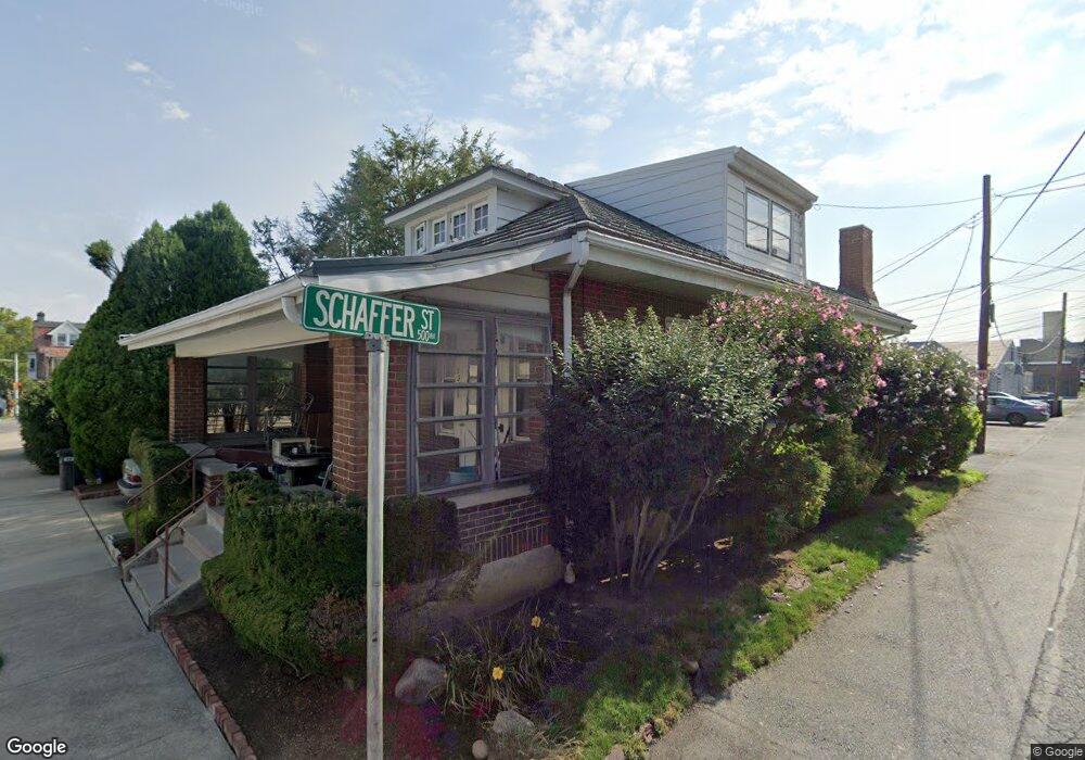
536 6th Ave Bethlehem, PA 18018
West Bethlehem NeighborhoodEstimated Value: $258,965 - $277,000
2
Beds
1
Bath
1,410
Sq Ft
$191/Sq Ft
Est. Value
About This Home
This home is located at 536 6th Ave, Bethlehem, PA 18018 and is currently estimated at $269,741, approximately $191 per square foot. 536 6th Ave is a home located in Lehigh County with nearby schools including James Buchanan Elementary School, Nitschmann Middle School, and Liberty High School.
Ownership History
Date
Name
Owned For
Owner Type
Purchase Details
Closed on
Sep 28, 2011
Sold by
Wilson Hugh
Bought by
Wilson David O
Current Estimated Value
Home Financials for this Owner
Home Financials are based on the most recent Mortgage that was taken out on this home.
Original Mortgage
$146,074
Outstanding Balance
$100,107
Interest Rate
4.2%
Mortgage Type
VA
Estimated Equity
$169,634
Create a Home Valuation Report for This Property
The Home Valuation Report is an in-depth analysis detailing your home's value as well as a comparison with similar homes in the area
Home Values in the Area
Average Home Value in this Area
Purchase History
| Date | Buyer | Sale Price | Title Company |
|---|---|---|---|
| Wilson David O | $143,000 | -- |
Source: Public Records
Mortgage History
| Date | Status | Borrower | Loan Amount |
|---|---|---|---|
| Open | Wilson David O | $146,074 |
Source: Public Records
Tax History Compared to Growth
Tax History
| Year | Tax Paid | Tax Assessment Tax Assessment Total Assessment is a certain percentage of the fair market value that is determined by local assessors to be the total taxable value of land and additions on the property. | Land | Improvement |
|---|---|---|---|---|
| 2025 | $3,557 | $123,800 | $10,500 | $113,300 |
| 2024 | $3,516 | $123,800 | $10,500 | $113,300 |
| 2023 | $3,485 | $123,800 | $10,500 | $113,300 |
| 2022 | $3,542 | $123,800 | $113,300 | $10,500 |
| 2021 | $3,526 | $123,800 | $10,500 | $113,300 |
| 2020 | $3,413 | $123,800 | $10,500 | $113,300 |
| 2019 | $3,438 | $123,800 | $10,500 | $113,300 |
| 2018 | $3,371 | $123,800 | $10,500 | $113,300 |
| 2017 | $3,221 | $123,800 | $10,500 | $113,300 |
| 2016 | -- | $123,800 | $10,500 | $113,300 |
| 2015 | -- | $123,800 | $10,500 | $113,300 |
| 2014 | -- | $123,800 | $10,500 | $113,300 |
Source: Public Records
Map
Nearby Homes
- 901 W Broad St
- 345 Franklin St
- 526 2nd Ave
- 714 W Goepp St
- 205 W Broad St
- 405 1st Ave
- 231 7th Ave
- 820 Walton St
- 1130 Spring St
- 273 W Fairview St
- 80 W North St
- 72 W Market St
- 61 W Union Blvd
- 1512 W Broad St
- 913 Masslich St
- 113 W Frankford St
- 109 W Frankford St
- 20 W Raspberry St
- 451 Brighton St
- 1032 Main St
- 534 6th Ave
- 623 W Broad St
- 532 6th Ave
- 621 W Broad St
- 617 W Broad St
- 530 6th Ave
- 619 W Broad St
- 528 6th Ave
- 615 W Broad St
- 701 W Broad St Unit 200
- 701 W Broad St Unit 204/206
- 701 W Broad St Unit Storage 8
- 701 W Broad St Unit Storage 1
- 701 W Broad St Unit 206-219
- 701 W Broad St Unit SUITE 219
- 701 W Broad St Unit 217
- 701 W Broad St Unit SUITE 215
- 701 W Broad St Unit SUITE 211
- 701 W Broad St Unit 204B1
- 701 W Broad St Unit 204A1