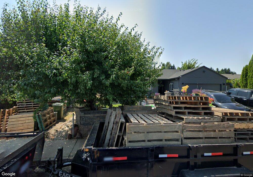
536 Comstock Ave Woodburn, OR 97071
Estimated Value: $368,122 - $408,000
3
Beds
2
Baths
1,079
Sq Ft
$362/Sq Ft
Est. Value
About This Home
This home is located at 536 Comstock Ave, Woodburn, OR 97071 and is currently estimated at $390,531, approximately $361 per square foot. 536 Comstock Ave is a home located in Marion County with nearby schools including Heritage Elementary School, Valor Middle School, and Woodburn Arthur Academy.
Ownership History
Date
Name
Owned For
Owner Type
Purchase Details
Closed on
Mar 30, 2020
Sold by
Perez Antonio Aranda and Martinez Jovita A
Bought by
Aranda Beatriz
Current Estimated Value
Purchase Details
Closed on
Nov 9, 2001
Sold by
Comstock Development Llc
Bought by
Perez Antonio Aranda and Martinez Jovita A
Home Financials for this Owner
Home Financials are based on the most recent Mortgage that was taken out on this home.
Original Mortgage
$123,892
Outstanding Balance
$48,066
Interest Rate
6.62%
Mortgage Type
FHA
Estimated Equity
$342,465
Create a Home Valuation Report for This Property
The Home Valuation Report is an in-depth analysis detailing your home's value as well as a comparison with similar homes in the area
Home Values in the Area
Average Home Value in this Area
Purchase History
| Date | Buyer | Sale Price | Title Company |
|---|---|---|---|
| Aranda Beatriz | -- | None Available | |
| Perez Antonio Aranda | $125,000 | Fidelity National Title Co |
Source: Public Records
Mortgage History
| Date | Status | Borrower | Loan Amount |
|---|---|---|---|
| Open | Perez Antonio Aranda | $123,892 |
Source: Public Records
Tax History Compared to Growth
Tax History
| Year | Tax Paid | Tax Assessment Tax Assessment Total Assessment is a certain percentage of the fair market value that is determined by local assessors to be the total taxable value of land and additions on the property. | Land | Improvement |
|---|---|---|---|---|
| 2024 | $3,248 | $168,440 | -- | -- |
| 2023 | $3,228 | $163,540 | $0 | $0 |
| 2022 | $3,057 | $158,780 | $0 | $0 |
| 2021 | $2,968 | $154,160 | $0 | $0 |
| 2020 | $2,880 | $149,670 | $0 | $0 |
| 2019 | $2,887 | $145,320 | $0 | $0 |
| 2018 | $2,742 | $0 | $0 | $0 |
| 2017 | $2,662 | $0 | $0 | $0 |
| 2016 | $2,571 | $0 | $0 | $0 |
| 2015 | $2,343 | $0 | $0 | $0 |
| 2014 | $2,135 | $0 | $0 | $0 |
Source: Public Records
Map
Nearby Homes
- 888 Wilson St
- 419 Vine Ave
- 500 Marshall St
- 1491 Foxglove St
- 682 S Settlemier Ave
- 1632 Brown St
- 1078 Young St
- 365 Bryan St
- 185 E Lincoln St
- 597 Barley St
- 316 Mclaughlin Dr
- 680 Cupids Ct
- 1065 S Pacific Hwy Unit 4
- 1065 S Pacific Hwy
- 795 Corby St
- 860 N 1st St
- 2219 Sawtelle Dr
- 2221 Ben Brown Dr
- 778 E Lincoln St
- 2255 Sawtelle Dr
- 558 Comstock Ave
- 514 Comstock Ave
- 1120 Roy Ave
- 1130 Roy Ave
- 537 Comstock Ave
- 1096 Roy Ave
- 515 Comstock Ave
- 614 Comstock Ave
- 1084 Comstock Way
- 1012 Roy Ave
- 1066 Comstock Way
- 1044 Roy Ave
- 985 Nugget Ct
- 1142 Roy Ave
- 503 Comstock Ave
- 998 Nugget Ct
- 1111 Comstock Way
- 953 Nugget Ct
- 1135 Roy Ave
- 639 Comstock Ave
