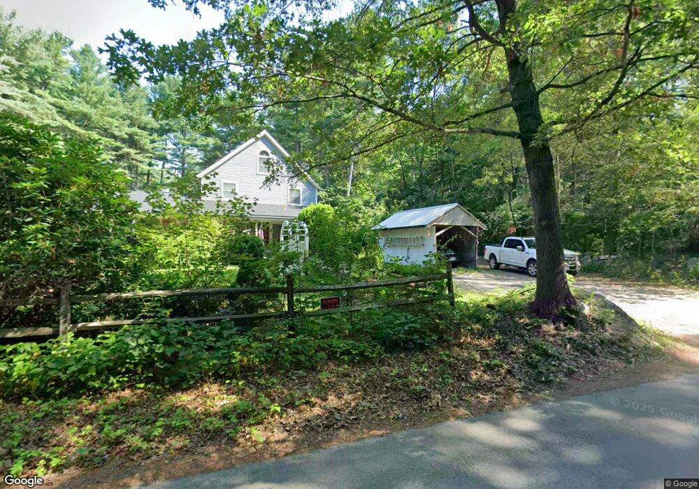
536 Curve St Carlisle, MA 01741
Estimated Value: $1,056,000 - $1,604,000
4
Beds
4
Baths
2,552
Sq Ft
$491/Sq Ft
Est. Value
About This Home
This home is located at 536 Curve St, Carlisle, MA 01741 and is currently estimated at $1,254,063, approximately $491 per square foot. 536 Curve St is a home located in Middlesex County with nearby schools including Carlisle School.
Ownership History
Date
Name
Owned For
Owner Type
Purchase Details
Closed on
May 16, 2020
Sold by
Toher David B and Toher Deborah A
Bought by
A Toher 2014 T D
Current Estimated Value
Home Financials for this Owner
Home Financials are based on the most recent Mortgage that was taken out on this home.
Original Mortgage
$76,500
Interest Rate
3.3%
Mortgage Type
New Conventional
Purchase Details
Closed on
Jul 29, 2014
Sold by
Toher David B and Toher Deborah A
Bought by
Deborah A Toher T A and Deborah Toher
Create a Home Valuation Report for This Property
The Home Valuation Report is an in-depth analysis detailing your home's value as well as a comparison with similar homes in the area
Home Values in the Area
Average Home Value in this Area
Purchase History
| Date | Buyer | Sale Price | Title Company |
|---|---|---|---|
| A Toher 2014 T D | -- | None Available | |
| Toher David B | -- | None Available | |
| Deborah A Toher T A | -- | -- | |
| Toher David B | -- | -- | |
| Deborah A Toher T | -- | -- | |
| Toher David B | -- | -- |
Source: Public Records
Mortgage History
| Date | Status | Borrower | Loan Amount |
|---|---|---|---|
| Previous Owner | A Toher 2014 T D | $76,500 | |
| Previous Owner | Toher David B | $118,000 | |
| Previous Owner | Toher David B | $100,000 | |
| Previous Owner | Toher David B | $25,000 |
Source: Public Records
Tax History Compared to Growth
Tax History
| Year | Tax Paid | Tax Assessment Tax Assessment Total Assessment is a certain percentage of the fair market value that is determined by local assessors to be the total taxable value of land and additions on the property. | Land | Improvement |
|---|---|---|---|---|
| 2025 | $13,096 | $993,600 | $566,400 | $427,200 |
| 2024 | $12,754 | $956,800 | $522,700 | $434,100 |
| 2023 | $11,821 | $835,400 | $500,900 | $334,500 |
| 2022 | $11,888 | $720,500 | $457,400 | $263,100 |
| 2021 | $11,730 | $720,500 | $457,400 | $263,100 |
| 2020 | $11,288 | $614,800 | $352,800 | $262,000 |
| 2019 | $11,053 | $604,300 | $352,800 | $251,500 |
| 2018 | $10,599 | $583,300 | $352,800 | $230,500 |
| 2017 | $10,278 | $583,300 | $352,800 | $230,500 |
| 2016 | $10,033 | $583,300 | $352,800 | $230,500 |
| 2015 | $10,746 | $565,600 | $352,800 | $212,800 |
| 2014 | $10,543 | $565,600 | $352,800 | $212,800 |
Source: Public Records
Map
Nearby Homes
- 12 Martin St
- 1056 Curve St
- 5 Carriage Dr
- 6 Sierra Dr
- 8 Kay's Walk Unit 13
- 14 Kay's Walk
- 6 Kay's Walk Unit 6
- 6 Kay's Walk
- 2 Kay's Walk Unit 18
- 4 Kay's Walk Unit 15
- 3 Kay's Walk
- 15 Kay's Walk
- 1 Kay's Walk Unit 1
- 1 Kay's Walk
- 13 Kay's Walk
- 15 Kay's Walk Unit 4
- 3 Kay's Walk Unit 3
- 1420 Curve St
- 9 Donna Rd
- 20 4th Ln
- 370 Cranberry Hill
- Lot 1 Cranberry Hill Rd
- 542 Curve St
- 4 Cranberry Hill Ln
- 73 Cranberry Hill Ln
- 37 Cranberry Hill
- 498 Curve St
- 531 Curve St
- 80 Cranberry Hill Ln
- 523 Curve St
- 2 Martin St
- Lot 2 Martin St
- 51 Cranberry Hill Ln
- 481 Curve St
- 78 Martin St
- 98 Cranberry Hill Ln
- 90 Martin St
- 126 Martin St
- 385 Curve St
- 358 Curve St