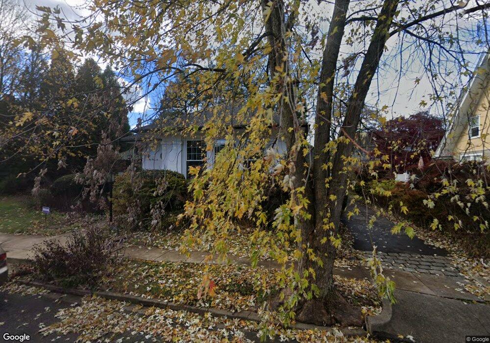
536 Forrest Ave Drexel Hill, PA 19026
Estimated Value: $410,977 - $470,000
3
Beds
1
Bath
1,892
Sq Ft
$226/Sq Ft
Est. Value
About This Home
This home is located at 536 Forrest Ave, Drexel Hill, PA 19026 and is currently estimated at $427,994, approximately $226 per square foot. 536 Forrest Ave is a home located in Delaware County with nearby schools including Hillcrest El School, Drexel Hill Middle School, and Upper Darby High School.
Ownership History
Date
Name
Owned For
Owner Type
Purchase Details
Closed on
Aug 26, 1996
Sold by
Patel Sunil K
Bought by
Pauciulo Paul A and Tomasko Catherine A
Current Estimated Value
Home Financials for this Owner
Home Financials are based on the most recent Mortgage that was taken out on this home.
Original Mortgage
$129,650
Outstanding Balance
$11,113
Interest Rate
8.18%
Mortgage Type
Purchase Money Mortgage
Estimated Equity
$416,881
Create a Home Valuation Report for This Property
The Home Valuation Report is an in-depth analysis detailing your home's value as well as a comparison with similar homes in the area
Home Values in the Area
Average Home Value in this Area
Purchase History
| Date | Buyer | Sale Price | Title Company |
|---|---|---|---|
| Pauciulo Paul A | $136,500 | -- |
Source: Public Records
Mortgage History
| Date | Status | Borrower | Loan Amount |
|---|---|---|---|
| Open | Pauciulo Paul A | $129,650 |
Source: Public Records
Tax History Compared to Growth
Tax History
| Year | Tax Paid | Tax Assessment Tax Assessment Total Assessment is a certain percentage of the fair market value that is determined by local assessors to be the total taxable value of land and additions on the property. | Land | Improvement |
|---|---|---|---|---|
| 2025 | $8,515 | $201,330 | $57,030 | $144,300 |
| 2024 | $8,515 | $201,330 | $57,030 | $144,300 |
| 2023 | $8,434 | $201,330 | $57,030 | $144,300 |
| 2022 | $8,208 | $201,330 | $57,030 | $144,300 |
| 2021 | $11,067 | $201,330 | $57,030 | $144,300 |
| 2020 | $8,354 | $129,140 | $57,030 | $72,110 |
| 2019 | $8,207 | $129,140 | $57,030 | $72,110 |
| 2018 | $8,112 | $129,140 | $0 | $0 |
| 2017 | $7,902 | $129,140 | $0 | $0 |
| 2016 | $709 | $129,140 | $0 | $0 |
| 2015 | $723 | $129,140 | $0 | $0 |
| 2014 | $709 | $129,140 | $0 | $0 |
Source: Public Records
Map
Nearby Homes
- 522 Kenwood Rd
- 475 Harper Ave
- 455 Irvington Rd
- 464 Foss Ave
- 2708 Garrett Rd
- 3634 Rosemont Ave
- 333 Riverview Ave
- 462 Derwyn Rd
- 719 Mason Ave
- 729 Edmonds Ave
- 3744 Huey Ave
- 3708 Garrett Rd
- 3706 Garrett Rd
- 465 Windermere Ave
- 3432 Valley Green Dr
- 3419 Verner St
- 358 Lakeview Ave
- 347 Abbey Terrace
- 506 Burmont Rd
- 742 Fairfax Rd