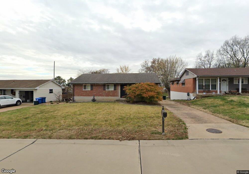
536 Lind Rd Saint Louis, MO 63125
Mehlville NeighborhoodEstimated Value: $241,914 - $262,000
About This Home
This home is located at 536 Lind Rd, Saint Louis, MO 63125 and is currently estimated at $253,229, approximately $210 per square foot. 536 Lind Rd is a home located in St. Louis County with nearby schools including Beasley Elementary School, Margaret Buerkle Middle School, and Mehlville High School.
Ownership History
We collect this data history from publicly available records. To have your information removed, we recommend requesting removal directly through your county’s website.
Purchase Details
Home Financials for this Owner
Home Financials are based on the most recent Mortgage that was taken out on this home.Purchase Details
Home Values in the Area
Average Home Value in this Area
Purchase History
We collect this data history from publicly available records. To have your information removed, we recommend requesting removal directly through your county’s website.
| Date | Buyer | Sale Price | Title Company |
|---|---|---|---|
| -- | Resolutions Title Inc | ||
| -- | None Available |
Mortgage History
We collect this data history from publicly available records. To have your information removed, we recommend requesting removal directly through your county’s website.
| Date | Status | Borrower | Loan Amount |
|---|---|---|---|
| Closed | $60,000 |
Tax History
We collect this data history from publicly available records. To have your information removed, we recommend requesting removal directly through your county’s website.
| Year | Tax Paid | Tax Assessment Tax Assessment Total Assessment is a certain percentage of the fair market value that is determined by local assessors to be the total taxable value of land and additions on the property. | Land | Improvement |
|---|---|---|---|---|
| 2025 | $2,473 | $40,850 | $12,960 | $27,890 |
| 2024 | $2,473 | $36,670 | $9,370 | $27,300 |
| 2023 | $2,442 | $36,670 | $9,370 | $27,300 |
| 2022 | $2,066 | $31,130 | $8,650 | $22,480 |
| 2021 | $2,000 | $31,130 | $8,650 | $22,480 |
| 2020 | $1,841 | $27,230 | $9,370 | $17,860 |
| 2019 | $1,836 | $27,230 | $9,370 | $17,860 |
| 2018 | $1,685 | $22,540 | $6,160 | $16,380 |
| 2017 | $1,681 | $22,520 | $6,160 | $16,360 |
| 2016 | $1,700 | $21,850 | $5,300 | $16,550 |
| 2015 | $1,562 | $21,850 | $5,300 | $16,550 |
| 2014 | $1,449 | $20,040 | $5,470 | $14,570 |
Map
- 3227 Bridgeridge Dr
- 633 Lind Rd
- 515 Golden Valley Dr
- 525 Fairwick Dr
- 4226 Aqua Ridge Dr
- 701 Chevron Dr
- 851 Poplar Dr
- 4083 Tarragona Dr
- 913 Peace Haven Dr
- 4211 Martyridge Dr
- 735 Hinder Dr
- 127 E Marseille Dr
- 729 Wingan Ln
- 180 Chinon Dr
- 4515 Firelight Dr
- 3518 Glen Arbor Dr
- 764 Forder Crossing Ct
- 4518 Ringer Rd
- 3520 Glen Bay Dr
- 50 Oakwood Ln
Ask me questions while you tour the home.