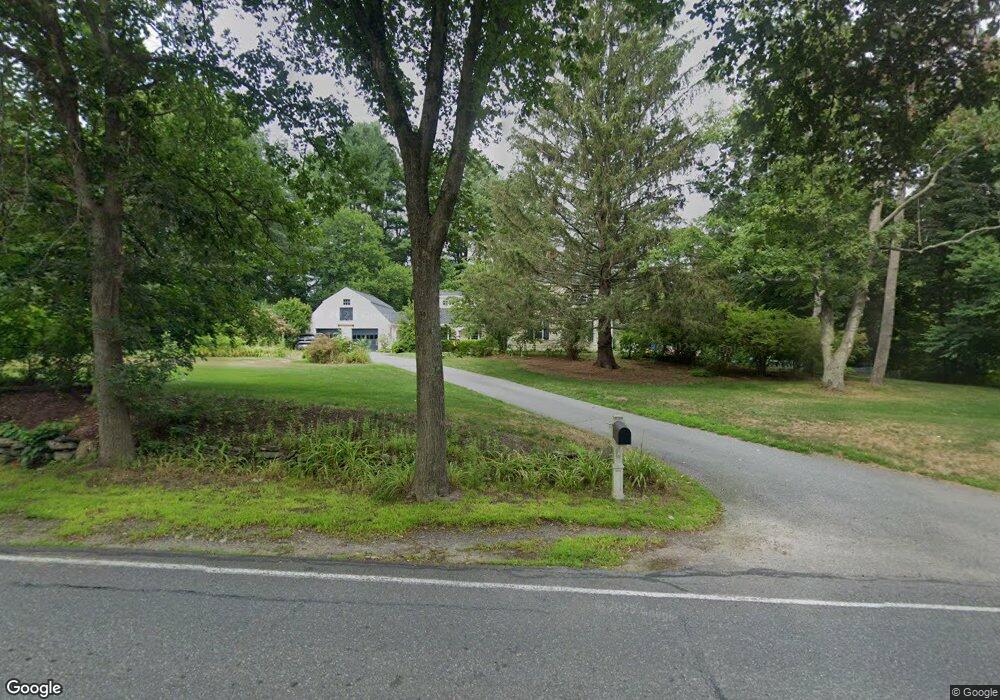
536 Lowell Rd Concord, MA 01742
Estimated Value: $1,823,000 - $2,175,420
4
Beds
3
Baths
2,960
Sq Ft
$697/Sq Ft
Est. Value
About This Home
This home is located at 536 Lowell Rd, Concord, MA 01742 and is currently estimated at $2,063,105, approximately $696 per square foot. 536 Lowell Rd is a home located in Middlesex County with nearby schools including Alcott Elementary School, Concord Middle School, and Concord Carlisle High School.
Ownership History
Date
Name
Owned For
Owner Type
Purchase Details
Closed on
Jun 26, 2025
Sold by
Kennedy Alyson H and Byrd Jonathan E
Bought by
536 Lowell Road Rt and Kennedy
Current Estimated Value
Purchase Details
Closed on
Mar 26, 2019
Sold by
Kennedy Alyson H and Byrd Jonathan E
Bought by
Byrd Jonathan E and Kennedy Alyson H
Purchase Details
Closed on
Aug 3, 2006
Sold by
Groff Frederick A and Groff Laura T
Bought by
Kennedy Alan D and Kennedy Alyson Hope
Home Financials for this Owner
Home Financials are based on the most recent Mortgage that was taken out on this home.
Original Mortgage
$920,000
Interest Rate
6.7%
Mortgage Type
Purchase Money Mortgage
Purchase Details
Closed on
Aug 4, 1993
Sold by
Winslow Donald F and Winslow Anne G
Bought by
Groff Laura T and Groff Frederick A
Create a Home Valuation Report for This Property
The Home Valuation Report is an in-depth analysis detailing your home's value as well as a comparison with similar homes in the area
Home Values in the Area
Average Home Value in this Area
Purchase History
| Date | Buyer | Sale Price | Title Company |
|---|---|---|---|
| 536 Lowell Road Rt | -- | -- | |
| 536 Lowell Road Rt | -- | -- | |
| Byrd Jonathan E | -- | -- | |
| Byrd Jonathan E | -- | -- | |
| Kennedy Alan D | $1,315,000 | -- | |
| Kennedy Alan D | $1,315,000 | -- | |
| Groff Laura T | $549,000 | -- | |
| Groff Laura T | $549,000 | -- |
Source: Public Records
Mortgage History
| Date | Status | Borrower | Loan Amount |
|---|---|---|---|
| Previous Owner | Kennedy Alan D | $920,000 | |
| Previous Owner | Groff Laura T | $150,000 | |
| Previous Owner | Groff Laura T | $100,000 |
Source: Public Records
Tax History
| Year | Tax Paid | Tax Assessment Tax Assessment Total Assessment is a certain percentage of the fair market value that is determined by local assessors to be the total taxable value of land and additions on the property. | Land | Improvement |
|---|---|---|---|---|
| 2025 | $22,010 | $1,659,900 | $678,900 | $981,000 |
| 2024 | $21,794 | $1,659,900 | $678,900 | $981,000 |
| 2023 | $20,113 | $1,551,900 | $617,200 | $934,700 |
| 2022 | $18,823 | $1,275,300 | $493,600 | $781,700 |
| 2021 | $15,469 | $1,050,900 | $493,600 | $557,300 |
| 2020 | $15,025 | $1,055,900 | $493,600 | $562,300 |
| 2019 | $13,838 | $975,200 | $455,500 | $519,700 |
| 2018 | $13,848 | $969,100 | $456,500 | $512,600 |
| 2017 | $13,787 | $979,900 | $467,300 | $512,600 |
| 2016 | $13,328 | $957,500 | $445,600 | $511,900 |
| 2015 | $12,592 | $881,200 | $412,500 | $468,700 |
Source: Public Records
Map
Nearby Homes
- 735 Lowell Rd Lot 1 Land
- 735 Lowell Rd
- 29 Willard Common
- 244 Musterfield Rd
- 49 Willard Common
- 106 Elm St
- 315 Musketaquid Rd
- 101 Adams Rd
- 32 Thoreau St Unit 32
- 34 Thoreau St Unit 34
- 265 Elsinore St
- 22 Belknap Ct
- 46 Sudbury Rd
- 1 Baker Ave
- 150 Hubbard St Unit B
- 495 Hugh Cargill Rd
- 181 Stow St
- 50 Wayside Rd
- 143 Everett St
- 165 Everett St
- 84 Barnes Hill Rd
- 573 Lowell Rd
- 68 Barnes Hill Rd
- 136 Barnes Hill Rd
- 477 Lowell Rd
- 33 Pond View Ln
- 75 Barnes Hill Rd
- 597 Lowell Rd
- 50 Barnes Hill Rd
- 616 Lowell Rd
- 150 Barnes Hill Rd
- 150 Barnes Hill Rd Unit 1
- 31 Pond View Ln
- 469 Lowell Rd
- 160 Barnes Hill Rd
- 452 Lowell Rd
- 39 Barnes Hill Rd
- 445 Lowell Rd
- 26 Pond View Ln
- 4 Barretts Mill Rd
Your Personal Tour Guide
Ask me questions while you tour the home.