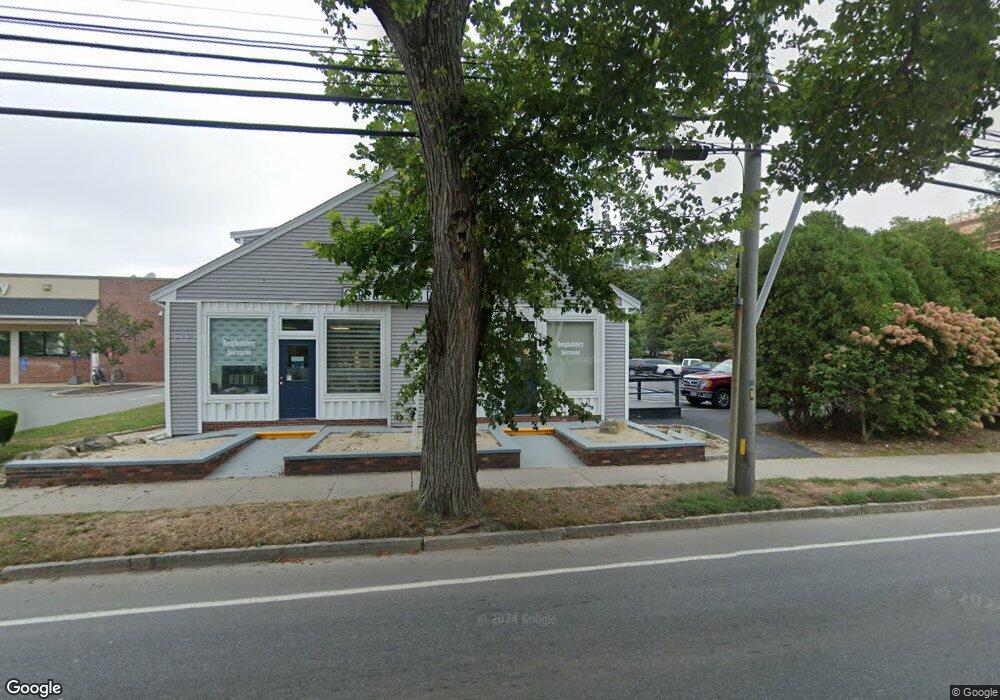
536 Main St Unit 11A Falmouth, MA 02540
Falmouth Village NeighborhoodEstimated Value: $238,618 - $307,000
1
Bed
1
Bath
504
Sq Ft
$534/Sq Ft
Est. Value
About This Home
This home is located at 536 Main St Unit 11A, Falmouth, MA 02540 and is currently estimated at $269,206, approximately $534 per square foot. 536 Main St Unit 11A is a home located in Barnstable County with nearby schools including Mullen-Hall School, Lawrence School, and Morse Pond School.
Ownership History
Date
Name
Owned For
Owner Type
Purchase Details
Closed on
Apr 26, 2021
Sold by
Leaf Steven A and Leaf Janice M
Bought by
Steven A Leaf T
Current Estimated Value
Purchase Details
Closed on
May 11, 2020
Sold by
Condinho Craig H
Bought by
Leaf Steven and Leaf Janice
Purchase Details
Closed on
Aug 7, 2018
Sold by
Nolan Marcia R
Bought by
Condinho Craig H
Purchase Details
Closed on
Oct 24, 2016
Sold by
Demu Cara N and Demu Adam
Bought by
Nolan Marcia R
Purchase Details
Closed on
Apr 1, 2011
Sold by
Nolan Marcia R
Bought by
Demu Cara N and Demu Adam
Create a Home Valuation Report for This Property
The Home Valuation Report is an in-depth analysis detailing your home's value as well as a comparison with similar homes in the area
Home Values in the Area
Average Home Value in this Area
Purchase History
| Date | Buyer | Sale Price | Title Company |
|---|---|---|---|
| Steven A Leaf T | -- | None Available | |
| Leaf Steven | $145,000 | None Available | |
| Condinho Craig H | $135,000 | -- | |
| Nolan Marcia R | -- | -- | |
| Demu Cara N | -- | -- |
Source: Public Records
Tax History Compared to Growth
Tax History
| Year | Tax Paid | Tax Assessment Tax Assessment Total Assessment is a certain percentage of the fair market value that is determined by local assessors to be the total taxable value of land and additions on the property. | Land | Improvement |
|---|---|---|---|---|
| 2025 | $1,054 | $179,600 | $0 | $179,600 |
| 2024 | $983 | $156,500 | $0 | $156,500 |
| 2023 | $1,100 | $159,000 | $0 | $159,000 |
| 2022 | $1,207 | $149,900 | $0 | $149,900 |
| 2021 | $1,187 | $139,700 | $0 | $139,700 |
| 2020 | $1,200 | $139,700 | $0 | $139,700 |
| 2019 | $1,151 | $134,500 | $0 | $134,500 |
| 2018 | $1,119 | $129,300 | $0 | $129,300 |
| 2017 | $1,146 | $134,400 | $0 | $134,400 |
| 2016 | $981 | $117,200 | $0 | $117,200 |
| 2015 | $960 | $117,200 | $0 | $117,200 |
| 2014 | $980 | $120,300 | $0 | $120,300 |
Source: Public Records
Map
Nearby Homes
- 480 Main St Unit 1
- 110 Dillingham Ave Unit 322
- 110 Dillingham Ave Unit 224
- 253 Scranton Ave
- 22 Alma Rd
- 65 Walker St
- 55 Jericho Path
- 98 Main St
- 98 Main St Unit 1
- 30 Katherine Lee Bates Rd
- 71 Main St
- 33 Oakwood Ave
- 354 Gifford St Unit 5
- 354 Gifford St Unit 2
- 354 Gifford St Unit 6
- 9 Fairmount Ave Unit 1
- 9 Fairmount Ave
- 286 Grand Ave Unit 6
- 286 Grand Ave Unit 8
- 286 Grand Ave Unit 4
- 536 Main St Unit 12B
- 536 Main St Unit 12A
- 536 Main St Unit 11B
- 536 Main St Unit 10
- 536 Main St Unit 9
- 536 Main St Unit 8
- 536 Main St Unit 7
- 536 Main St Unit 6
- 536 Main St Unit 5
- 536 Main St Unit 4
- 536 Main St Unit 3
- 536 Main St Unit 2
- 536 Main St Unit 1
- 536 Main St
- 520 Main St
- 556 Main St
- 0 Central
- 12 Grey Rock
- 67 Loden Green
- 3 Lantern Ln