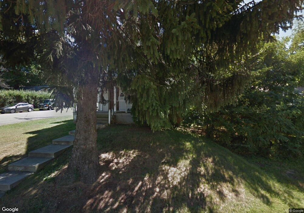
536 Main St Landing, NJ 07850
Estimated Value: $441,000 - $463,000
--
Bed
--
Bath
1,773
Sq Ft
$255/Sq Ft
Est. Value
About This Home
This home is located at 536 Main St, Landing, NJ 07850 and is currently estimated at $452,055, approximately $254 per square foot. 536 Main St is a home located in Morris County with nearby schools including Eisenhower Middle School, Lincoln Roosevelt Elementary School, and Roxbury High School.
Ownership History
Date
Name
Owned For
Owner Type
Purchase Details
Closed on
May 4, 2017
Sold by
Todaro Carmine and Moccia Erika
Bought by
Mulhearn Anthony
Current Estimated Value
Purchase Details
Closed on
Jul 13, 1995
Sold by
Lester James P and Lester Judith A
Bought by
Todaro Carmine J
Create a Home Valuation Report for This Property
The Home Valuation Report is an in-depth analysis detailing your home's value as well as a comparison with similar homes in the area
Home Values in the Area
Average Home Value in this Area
Purchase History
| Date | Buyer | Sale Price | Title Company |
|---|---|---|---|
| Mulhearn Anthony | $141,000 | None Available | |
| Todaro Carmine J | $106,000 | -- |
Source: Public Records
Tax History Compared to Growth
Tax History
| Year | Tax Paid | Tax Assessment Tax Assessment Total Assessment is a certain percentage of the fair market value that is determined by local assessors to be the total taxable value of land and additions on the property. | Land | Improvement |
|---|---|---|---|---|
| 2025 | $7,436 | $270,500 | $83,400 | $187,100 |
| 2024 | $7,320 | $270,500 | $83,400 | $187,100 |
| 2023 | $7,320 | $270,500 | $83,400 | $187,100 |
| 2022 | $7,125 | $270,500 | $83,400 | $187,100 |
| 2021 | $7,125 | $270,500 | $83,400 | $187,100 |
| 2020 | $7,111 | $270,500 | $83,400 | $187,100 |
| 2019 | $6,979 | $270,500 | $83,400 | $187,100 |
| 2018 | $6,443 | $149,500 | $65,900 | $83,600 |
| 2017 | $6,409 | $149,500 | $65,900 | $83,600 |
| 2016 | $6,283 | $149,500 | $65,900 | $83,600 |
| 2015 | $6,128 | $149,500 | $65,900 | $83,600 |
| 2014 | $6,031 | $149,500 | $65,900 | $83,600 |
Source: Public Records
Map
Nearby Homes